Lewiston Lake
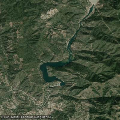
Lewiston Lake
- Boat Ramps
- 1
- Access Points
- 2
- Campsites
- 18
Lewiston Lake in Northern California offers excellent paddling opportunities for canoes, kayaks, and stand-up paddleboards. The lake spans 9 miles in length, covers 750 acres, and reaches depths of about 70 feet. Situated at an elevation of 1,902 feet in the Shasta-Trinity National Forest, it is surrounded by picturesque low hills and diverse topography ranging from dense forests to marshlands.
Access is available via Pine Cove boat ramp, located within 4 miles of the lake. Cooper Gulch Campground, situated on the lake's shore about 4 miles north of Lewiston on County Road 105, is a popular spot for launching kayaks and canoes. A $12 day use fee is charged at Pine Cove boat ramp.
Motorized boats are limited to 10 mph, creating a quiet atmosphere ideal for paddling. The lake offers consistent year-round conditions, making it suitable for paddling in all seasons. Fall brings particularly scenic views with colorful foliage.
Wildlife viewing opportunities abound, with great blue herons among the species that can be observed. The lake is known for its excellent trout fishing, with rainbow, brown, and brook trout present in abundance. This can enhance the paddling experience for those interested in fishing from their watercraft.
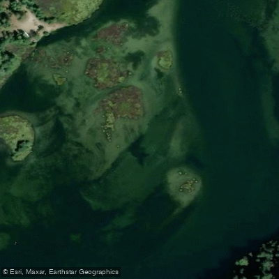
The lake's unique combination of water temperature, plant life, and riverbed formation creates an ecosystem rich in aquatic insects, supporting the diverse trout population. Paddlers can explore the 15 miles of shoreline, which includes areas of tules along the western shore.
For overnight stays, Mary Smith Campground offers tent camping with shore access to the lake. Many sites provide views of both Lewiston Lake and the surrounding Trinity Alps. Campground amenities include fire pits, picnic tables, and drinking water.
Paddlers should be aware of the Trinity Dam powerhouse, which can affect water conditions when active. Always check current regulations and conditions before embarking on a paddling trip.
Water access, boat ramps & amenities
Learn how to get on Lewiston Lake. Uncover great paddling access points, boat ramps, and all the facilities you need for an unforgettable day on the water. Some locations shown may border or include private property. Always check property boundaries and applicable regulations before visiting. PaddleWays's Public & Private Land layer can help you plan your access with confidence.
Paddle smarter with real-time insights
Whether you're en route and conditions shift or you're looking for the best spot based on current flows, we enable you to make informed decisions on the fly.








Find Places to Paddle

Over 400,000 Places to Paddle
Every user gets free access to launch points, boat ramps, and public property parcels.


Water and weather conditions (10 day forecast)
See the best times to paddle Lewiston Lake and check the forecast before you go.
Lewiston Lake Dam and Powerplant
Paddling near Lewiston Lake
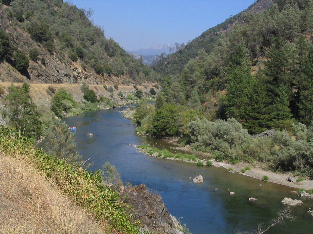
Trinity River

Sacramento River
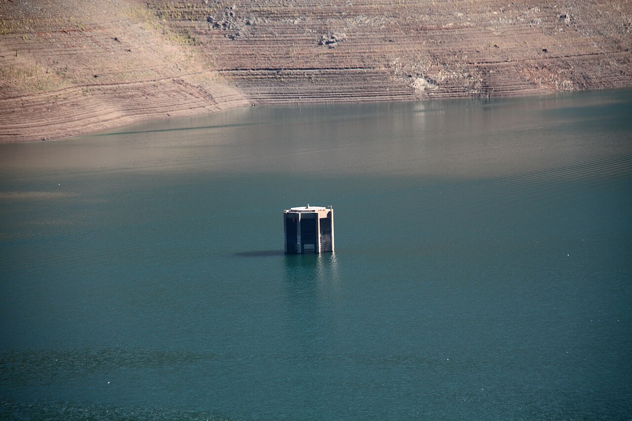
Trinity Lake
Stuart Fork
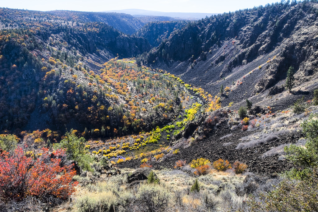
Pit River
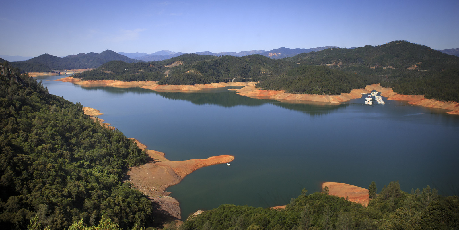
Shasta Lake
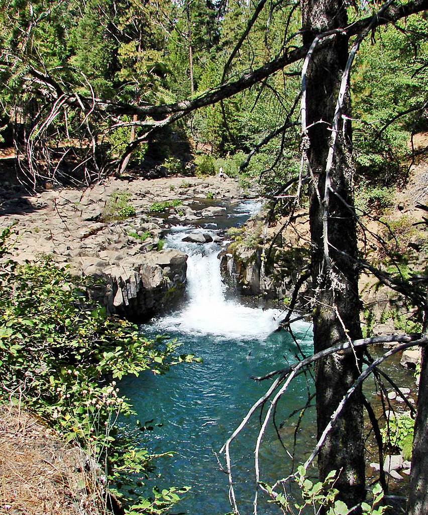
McCloud River

Klamath River
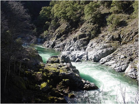
Salmon River
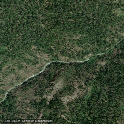
North Fork Trinity River
Explore California waters
Top paddling waters
Popular Cities
Loading popular cities...
Explore near Lewiston Lake
Access points
Nearby waters
More in California

Smarter Paddling Starts in the App.
Paddleways gives you everything you need to plan smarter, paddle better, and own every trip from first launch to takeout.