North Fork Trinity River
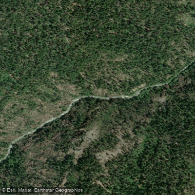
North Fork Trinity River
- Boat Ramps
- 1
- Access Points
- 4
- Campsites
- 9
The North Fork Trinity River is a challenging whitewater gem nestled in the rugged mountains of Northern California. Originating high in the Trinity Alps Wilderness, this pristine river flows southwest for approximately 30 miles before joining the main Trinity River. Its primary tributary is the East Fork of the North Fork, which converges near the end of the main whitewater run.
The river offers several distinct paddling sections, with the Upper North Fork providing the most intense whitewater. This 14-mile stretch from Hobo Gulch Campground to the East Fork confluence packs a powerful punch, featuring nearly continuous Class V rapids through a steep granite canyon. The first two miles are especially daunting, dropping at 215 feet per mile through boulder gardens and ledge drops. Notable rapids include the formidable Island Rapid and the technical 8-foot Mr. Squiggles drop.
Below the East Fork confluence, the Lower North Fork offers a more moderate 5.5-mile Class III-IV run to Big Flat campground. The East Fork itself provides additional paddling options, with an upper 8-mile Class IV-V section and a lower 6.5-mile Class III stretch.
Given its difficulty, the North Fork demands solid Class V skills and should only be attempted by expert paddlers. The river typically runs in spring during snowmelt, with optimal flows between 500-1,200 cfs. At higher levels, the intensity ramps up considerably.
The North Fork cuts through a pristine wilderness corridor, with Limestone Ridge providing a dramatic backdrop. Wildlife sightings may include black bears, deer, and various bird species. The area's rich biodiversity reflects its location in the Klamath-Siskiyou ecoregion.
Access to the river is relatively remote. The main put-in at Hobo Gulch Campground is reached via dirt roads, while the take-out is near the small community of Helena. Weaverville, about 30 miles southeast, is the nearest sizeable town for supplies. Paddlers should be prepared for a wilderness experience with limited cell coverage and potential hazards like wood in the river.
Multi-day trips are possible but require careful planning due to the river's difficulty and remote nature. The North Fork Trinity River stands as one of California's premier expert-level whitewater runs, offering those with the skills a thrilling journey through a spectacular mountain landscape.
Water access, boat ramps & amenities
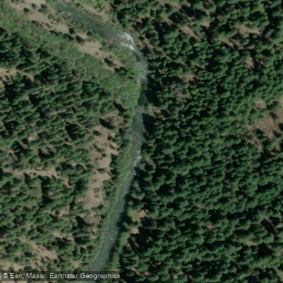
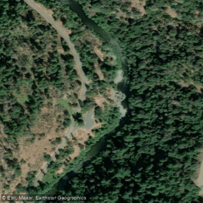
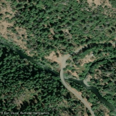
Learn how to get on North Fork Trinity River. Uncover great paddling access points, boat ramps, and all the facilities you need for an unforgettable day on the water. Some locations shown may border or include private property. Always check property boundaries and applicable regulations before visiting. PaddleWays's Public & Private Land layer can help you plan your access with confidence.
Paddle smarter with real-time insights
Whether you're en route and conditions shift or you're looking for the best spot based on current flows, we enable you to make informed decisions on the fly.








Find Places to Paddle

Over 400,000 Places to Paddle
Every user gets free access to launch points, boat ramps, and public property parcels.


Water and weather conditions (10 day forecast)
See the best times to paddle North Fork Trinity River and check the forecast before you go.
No forecast data available.
Paddling near North Fork Trinity River
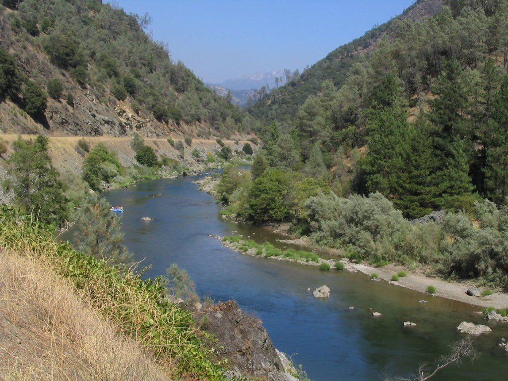
Trinity River

Sacramento River
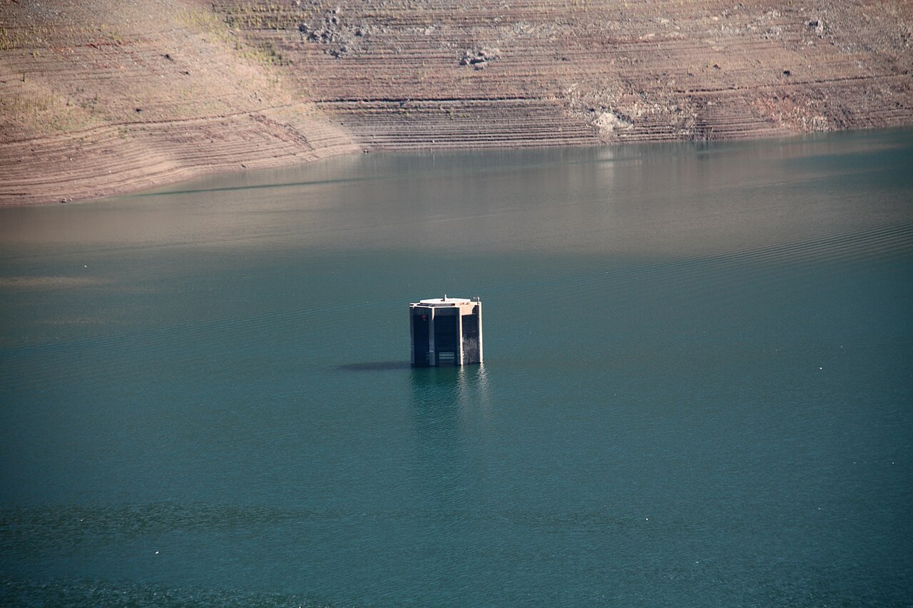
Trinity Lake
Stuart Fork
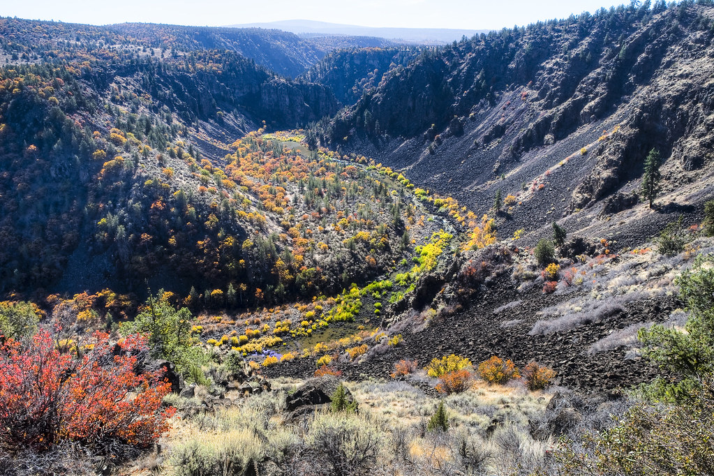
Pit River
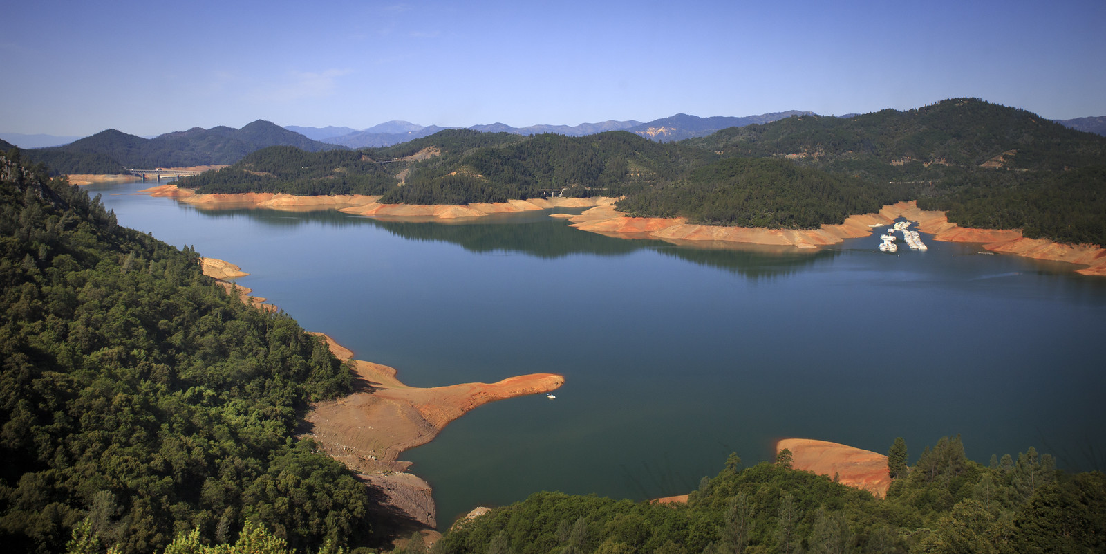
Shasta Lake
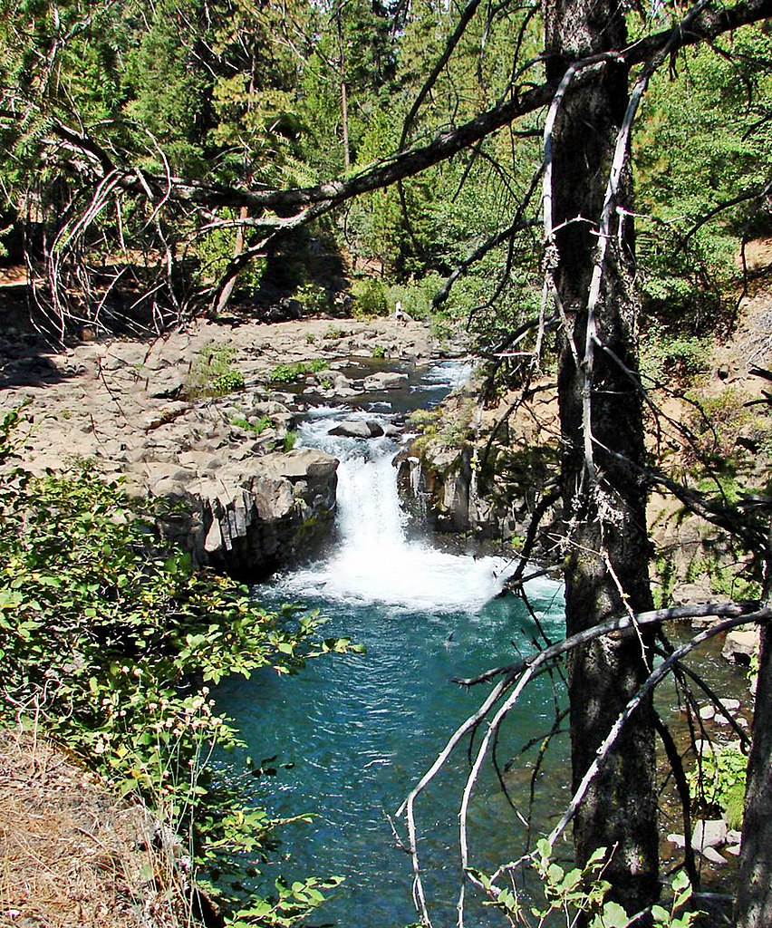
McCloud River

Klamath River
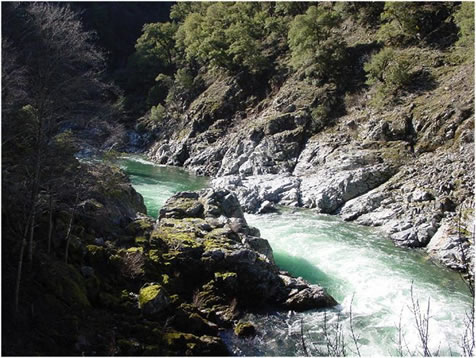
Salmon River
Explore California waters
Top paddling waters
Popular Cities
Loading popular cities...
Explore near North Fork Trinity River
Access points
Nearby waters
More in California

Smarter Paddling Starts in the App.
Paddleways gives you everything you need to plan smarter, paddle better, and own every trip from first launch to takeout.