Curated by PaddleWays
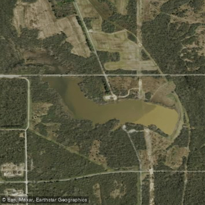
Lower Flatrock River
on Flatrock River · 24 mi away
RouteClass I–III
- Distance
- 26.4 mi
- Paddle time
- 7 hrs
- Best for
- Canoe
- Put-in → take-out
- Highway 9 Access → Columbus Boat Ramp
Greenwood sits in Johnson County at the southern edge of the Indianapolis metro, where the Driftwood River and Sugar Creek are the county's two DNR-designated water trails. The White River (West Fork) runs north-to-south through the corridor, offering roughly 40 road-miles of paddling between Martinsville and Indianapolis. Within reach are flatwater hubs like Eagle Creek Reservoir and Monroe Lake, Indiana's largest at 10,750 acres.
Curated routes
Hand-picked by the PaddleWays team, with put-ins, take-outs and paddle times. Levels are read from live gauges.
on Flatrock River · 24 mi away
RouteClass I–III
on Eagle Creek · 24 mi away
RouteFlatwater
on Big Blue River · 24 mi away
RouteFlatwater
on Fall Creek · 25 mi away
RouteFlatwater
on White River · 25 mi away
RouteFlatwater
on Flatrock River · 26 mi away
RouteClass I
on White River · 28 mi away
RouteFlatwater
on White River · 30 mi away
RouteFlatwater
on East Fork White River · 34 mi away
RouteFlatwater
on North Fork Salt Creek · 36 mi away
RouteFlatwater
on Big Walnut Creek · 37 mi away
RouteClass II–III
on White River · 38 mi away
RouteFlatwater
Whether you're en route and conditions shift or you're looking for the best spot based on current flows, we enable you to make informed decisions on the fly.





PaddleWays gives you everything you need to plan smarter, paddle better, and own every trip from first launch to takeout.