Curated by PaddleWays
RouteClass III–IV
- Distance
- 2.6 mi
- Paddle time
- ~0.5 hrs
- Best for
- Raft
- Put-in → take-out
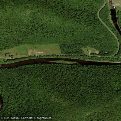
- Deerfield Dryway Put-in → Deerfield Dryway Take-out
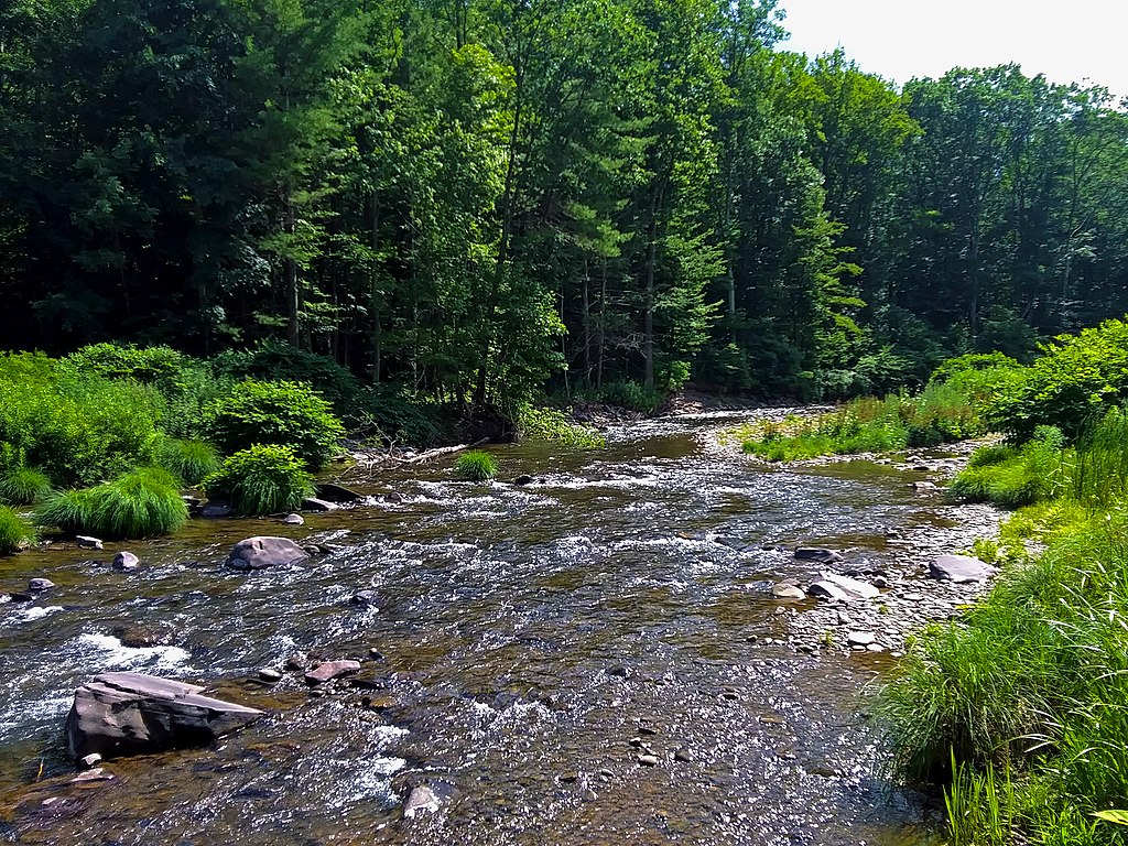
Dragon's Tooth Rapid, the crux of the run
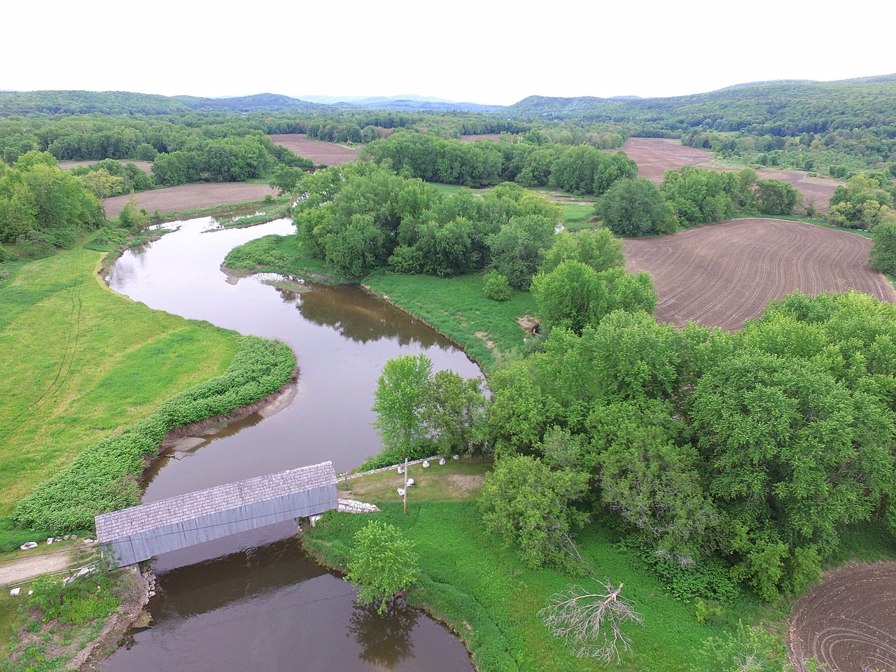
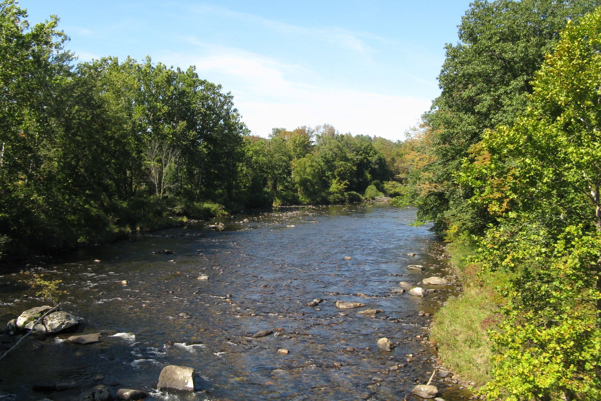
The Deerfield River, flowing through the scenic Berkshire Mountains of western Massachusetts, offers some of the best whitewater paddling in New England. This 76-mile long river begins in southern Vermont and winds its way through northwestern Massachusetts before joining the Connecticut River.
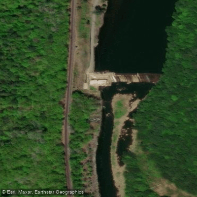
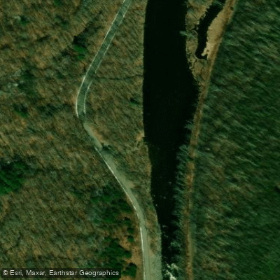
The Deerfield features a diverse range of paddling opportunities, from calm flatwater sections to thrilling Class IV rapids. The most popular whitewater runs are found in the upper sections, including the challenging Monroe Bridge "Dryway" and the more moderate Fife Brook section.
The Dryway, a 5-mile stretch of continuous Class III-IV rapids, is a favorite among experienced paddlers seeking big waves and technical boulder gardens. The 10-mile Fife Brook section offers a mix of Class II rapids with one Class III rapid at Zoar Gap, making it ideal for intermediate paddlers and guided rafting trips.
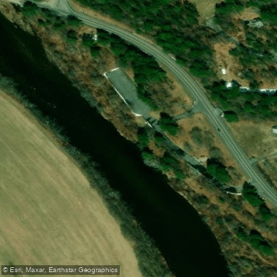
For those seeking a mellower experience, the lower sections of the Deerfield provide scenic flatwater and Class I-II paddling. The 8-mile stretch from Charlemont to Shelburne Falls is particularly popular for its easy rapids and beautiful scenery.
The Deerfield's flow is heavily regulated by a series of dams, which provide reliable paddling conditions throughout the summer months. The best time to paddle is typically from April through October, with scheduled dam releases ensuring good water levels, especially on weekends. Fall foliage season offers spectacular views, though water temperatures can be chilly.
The river corridor is home to diverse wildlife, including bald eagles, ospreys, and black bears. The surrounding forests are primarily northern hardwoods, with maples, birches, and beeches providing stunning autumn colors.
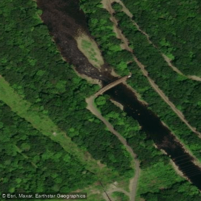
Notable landmarks along the river include the historic Bardwell's Ferry Bridge, built in 1882, and the picturesque village of Shelburne Falls with its famous Bridge of Flowers. The town of Charlemont serves as a hub for outfitters and access points to many popular sections.
Historically, the Deerfield River played a crucial role in the region's industrial development, powering mills and later hydroelectric facilities. Today, it's a vital recreational resource, balancing power generation with outdoor recreation and environmental conservation.
Safety considerations on the Deerfield include being aware of rapidly changing water levels due to dam releases, especially on the upper sections. Paddlers should always check release schedules and gauge levels before their trip. Cold water, even in summer, necessitates proper gear and preparation.
For those looking to extend their adventure, multi-day trips are possible by combining different sections of the river. A popular option is to start with the challenging Dryway, then continue downstream through the Fife Brook section and beyond, camping at designated sites along the way.
The Deerfield River offers something for paddlers of all skill levels, from adrenaline-pumping whitewater to serene flatwater floats, all set against the backdrop of Massachusetts' beautiful Berkshire Mountains.
Curated routes
Hand-picked by the PaddleWays team, with put-ins, take-outs, paddle times and the hazards along the way.
RouteClass III–IV
RouteClass II
RouteClass I–II
RouteClass II–III
Hazards
No paddler has reported a hazard here yet, so these are the dams, falls and big rapids on our map. Hazards change with flows and storms, so check them before you launch.
From the community
Nobody has shared a trip on Deerfield River yet. Paddle it, then tell the next paddler how it went.
See exactly where the public can get on and off the river. Launch points and boat ramps are paired with PaddleWays' public land data so you know where you can legally land.
Public shoreline
22%of the river's shoreline is public
Most of the riverbank is private. Launch, land and camp only at public access points.
Flows, weather and a route-by-route verdict, so you know which stretch of the Deerfield River is worth paddling today.
All Flow Stations
Scheduled releases and generation forecasts from the dams on Deerfield River.
Deerfield River · Below Deerfield No. 2 · Great River Hydro
228 cfs now, 400 cfs from 12:00 AM EST
Forecast updated today at 6:22 PM EST. Schedules can change, so check the operator's page before you go.
Deerfield River · Below Deerfield No. 3 (Shelburne Falls) · Great River Hydro
183 cfs now, 419 cfs from 12:00 AM EST
Forecast updated today at 6:22 PM EST. Schedules can change, so check the operator's page before you go.
Deerfield River · Below Deerfield No. 4 · Great River Hydro
159 cfs now, 404 cfs from 12:00 AM EST
Forecast updated today at 6:22 PM EST. Schedules can change, so check the operator's page before you go.
Deerfield River · The Dryway, below Monroe Bridge · Great River Hydro
90 cfs now, 940 cfs from 4:00 PM EST
Forecast updated today at 6:22 PM EST. Schedules can change, so check the operator's page before you go.
Deerfield River · Fife Brook reach · Brookfield Renewable
800 cfs now, 125 cfs from 8:00 PM EST
Forecast updated today at 6:22 PM EST. Schedules can change, so check the operator's page before you go.
Deerfield River · Below Harriman Dam · Great River Hydro
71 cfs now
Forecast updated today at 6:22 PM EST. Schedules can change, so check the operator's page before you go.
Deerfield River · Below Searsburg Dam · Great River Hydro
129 cfs now, 59 cfs from 8:00 PM EST
Forecast updated today at 6:22 PM EST. Schedules can change, so check the operator's page before you go.
Deerfield River · Below Sherman Dam · Great River Hydro
0 cfs now, 890 cfs from 4:00 PM EST
Forecast updated today at 6:22 PM EST. Schedules can change, so check the operator's page before you go.
Live flows, marked hazards and fresh trip reports from paddlers who were just on the water, all in one place.





Every user gets free access to launch points, boat ramps, and public property parcels.

Loading popular cities...
PaddleWays gives you everything you need to plan smarter, paddle better, and own every trip from first launch to takeout.