Curated by PaddleWays
RouteFlatwater
- Distance
- 4 mi
- Paddle time
- ~1.5 hrs
- Put-in → take-out
- Johns Pond Access → Waquoit Bay Nerr Access
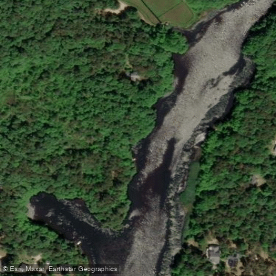
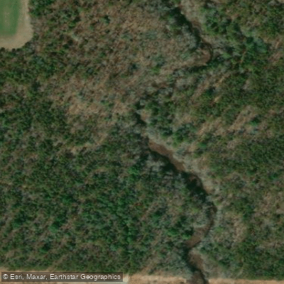
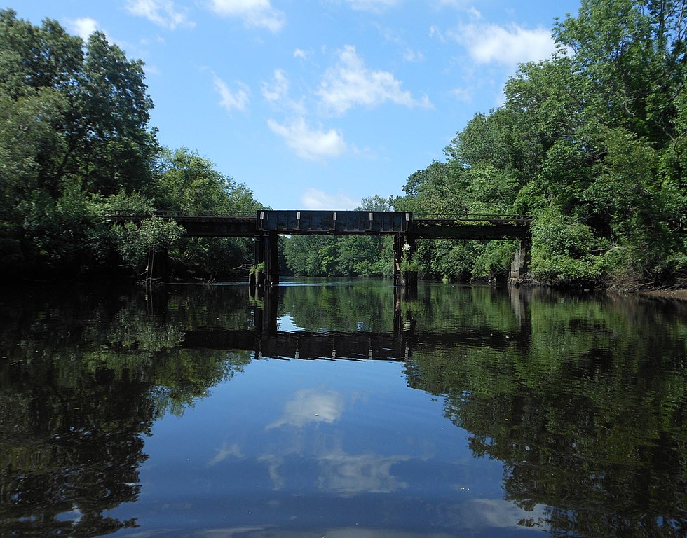
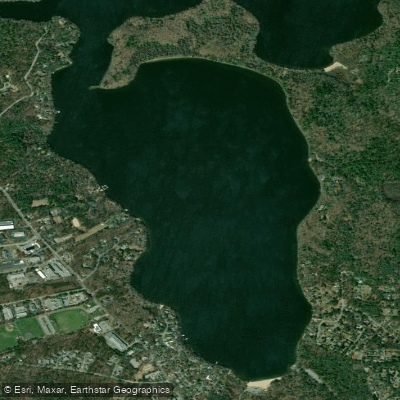
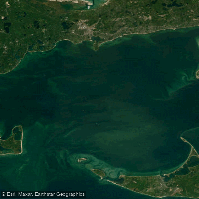
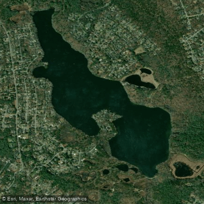
The Quashnet River, also known as the Moonakis River, is a 5.1-mile long estuary located on Cape Cod in Massachusetts. It originates at the outlet of Johns Pond in Mashpee and flows south through Falmouth before emptying into Waquoit Bay. As the bay's largest source of freshwater, the Quashnet plays a vital role in the local ecosystem.
This tranquil waterway offers excellent flatwater paddling opportunities suitable for beginners and families. The main paddling section runs from the Johns Pond outlet to the Route 28 bridge near Waquoit Bay. Kayakers and canoeists can enjoy a scenic journey through forested areas and salt marshes, with opportunities to spot wildlife like herons, osprey, and river otters.
The Quashnet is renowned for its importance as a migratory fish run, particularly for alewife and sea-run brook trout (salters). It's also home to rainbow trout, smallmouth bass, herring, and eels, making it a popular spot for fishing enthusiasts. The entire river is designated as a catch-and-release area where only artificial lures are permitted.
Access to the river is primarily through a small parking area off Martin Road in Mashpee. Additional access points can be found near the Route 28 bridge. The surrounding Mashpee Pine Barrens offer hiking trails and opportunities to explore the unique coastal plain ecosystem.
Paddlers should be aware of tidal influences in the lower sections near Waquoit Bay. The best times to paddle are typically spring through fall, avoiding winter's colder temperatures. Water levels can fluctuate seasonally, so checking conditions beforehand is advisable.
The Quashnet River has significant historical and ecological importance. Since the 1970s, it has been the focus of extensive restoration efforts by organizations like Trout Unlimited, aiming to improve habitat for native brook trout and other species.
For those seeking a longer adventure, the Quashnet can be combined with exploration of Waquoit Bay and nearby waterways like the Childs River for multi-day trips. However, paddlers should be mindful of regulations protecting this sensitive ecosystem and practice Leave No Trace principles.
With its serene waters, rich biodiversity, and cultural significance, the Quashnet River offers a quintessential Cape Cod paddling experience, allowing visitors to connect with nature and the region's unique coastal environment.
Curated routes
Hand-picked by the PaddleWays team, with put-ins, take-outs, paddle times and the hazards along the way.
RouteFlatwater
Hazards
No paddler has reported a hazard here yet, so these are the dams, falls and big rapids on our map. Hazards change with flows and storms, so check them before you launch.
From the community
Nobody has shared a trip on Quashnet River yet. Paddle it, then tell the next paddler how it went.
See exactly where the public can get on and off the river. Launch points and boat ramps are paired with PaddleWays' public land data so you know where you can legally land.
Public shoreline
58%of the river's shoreline is public
Flows, weather and a route-by-route verdict, so you know which stretch of the Quashnet River is worth paddling today.
All Flow Stations
Live flows, marked hazards and fresh trip reports from paddlers who were just on the water, all in one place.





Every user gets free access to launch points, boat ramps, and public property parcels.
Loading popular cities...
PaddleWays gives you everything you need to plan smarter, paddle better, and own every trip from first launch to takeout.