Curated by PaddleWays
RouteClass I
- Distance
- 5.6 mi
- Paddle time
- ~2 hrs
- Best for
- Canoe
- Put-in → take-out
- Blackhoof River Public Water Access Site → Lower Blackhoof River Access
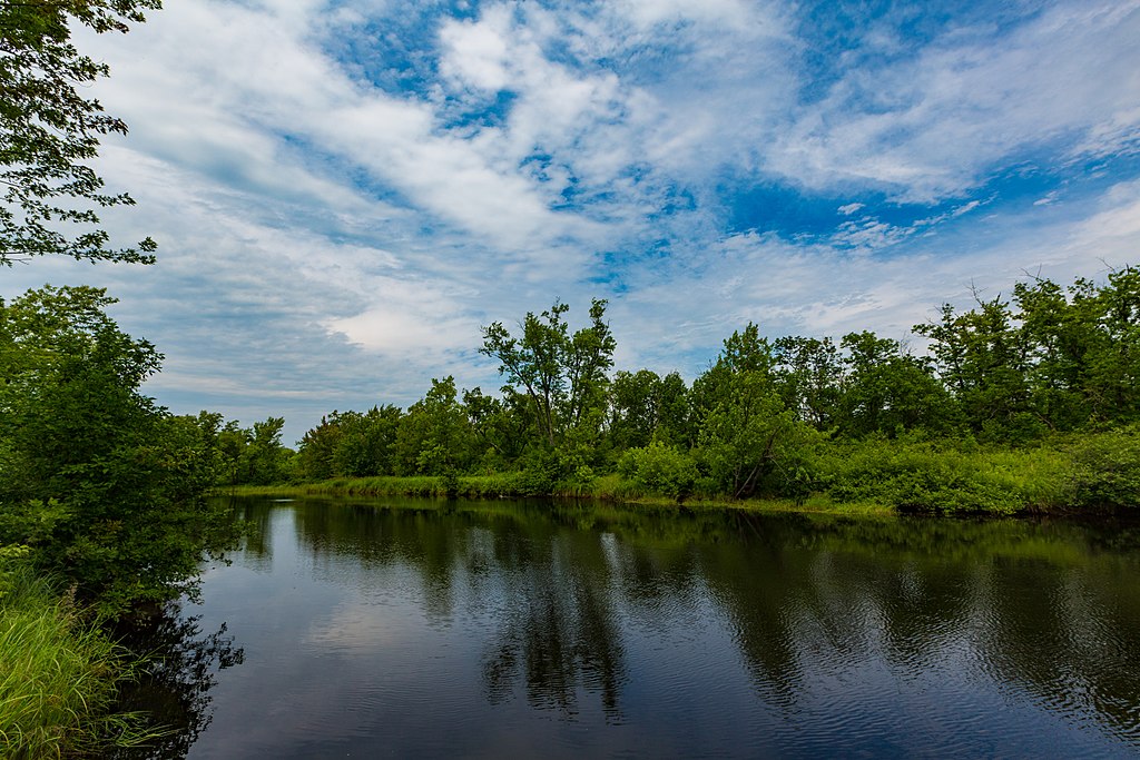
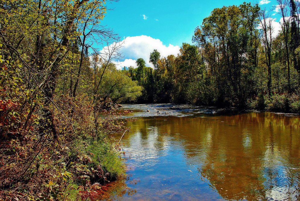
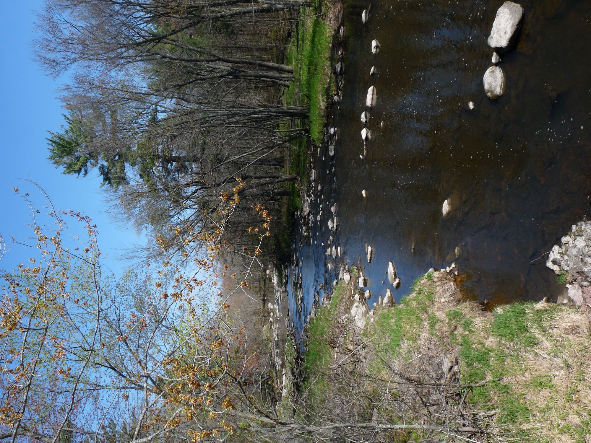
The Blackhoof River is a scenic waterway in northeastern Minnesota, flowing for 27 miles before joining the Nemadji River. This tributary of the Nemadji meanders through a landscape of hardwood forests and rolling hills, offering paddlers an intimate journey through the region's natural beauty. The river's lower reaches feature a varied substrate and winding course that creates a diverse paddling experience. While specific difficulty ratings aren't widely established, the river likely presents a mix of calm stretches and minor rapids, suitable for paddlers with basic to intermediate skills. As with many Minnesota rivers, water levels can fluctuate seasonally, so checking current conditions is advisable.
The Blackhoof River is part of a Wildlife Management Area (WMA), which enhances opportunities for wildlife viewing. Paddlers may encounter a variety of forest creatures and birds native to northeastern Minnesota's ecosystems. The surrounding hardwood forests provide a colorful backdrop, especially vibrant during the fall foliage season.
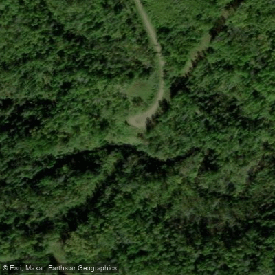
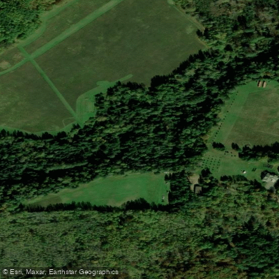
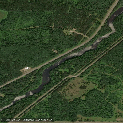
A key access point for paddlers is the Blackhoof River Canoe Access near Carlton, Minnesota. This put-in features a 555-meter (1,821 ft) green singletrack trail leading to the river, offering a convenient starting location for downstream trips. The take-out point is at the confluence with the Nemadji River, creating opportunities for day trips or potential multi-day adventures for those wishing to continue onto the Nemadji.
The Blackhoof River WMA boasts an extensive trail system with carry-in canoe access to both the Blackhoof and Nemadji Rivers. This network provides paddlers with options to explore remote areas and enjoy scenic vistas beyond the river itself.
For those planning a paddling trip, the best seasons are typically late spring through early fall, when water levels are most favorable and temperatures are milder. However, as part of a WMA, the river may have specific regulations or seasonal restrictions to protect wildlife, so checking with local authorities is recommended.
The river's inclusion in a WMA speaks to its ecological importance and the state's commitment to preserving natural waterways. Safety considerations include being prepared for varying water conditions, wildlife encounters, and potentially limited cell phone coverage in more remote stretches. Paddlers should always wear life jackets, inform others of their trip plans, and carry appropriate safety and navigation equipment.
The Blackhoof River offers a quintessential Minnesota paddling experience, combining natural beauty, wildlife viewing opportunities, and a sense of exploration in a relatively accessible package for those in the Carlton area and beyond.
Curated routes
Hand-picked by the PaddleWays team, with put-ins, take-outs, paddle times and the hazards along the way.
RouteClass I
Hazards
No hazards are marked on Blackhoof River yet. That is not the same as none being there: if you find one, report it for the next paddler.
From the community
Nobody has shared a trip on Blackhoof River yet. Paddle it, then tell the next paddler how it went.
See exactly where the public can get on and off the river. Launch points and boat ramps are paired with PaddleWays' public land data so you know where you can legally land.
Public shoreline
3%of the river's shoreline is public
Most of the riverbank is private. Launch, land and camp only at public access points.
Flows, weather and a route-by-route verdict, so you know which stretch of the Blackhoof River is worth paddling today.
No forecast data available.
Live flows, marked hazards and fresh trip reports from paddlers who were just on the water, all in one place.





Every user gets free access to launch points, boat ramps, and public property parcels.
Loading popular cities...
PaddleWays gives you everything you need to plan smarter, paddle better, and own every trip from first launch to takeout.