Old Fort Bayou
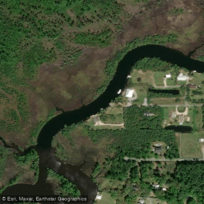
Old Fort Bayou
- Boat Ramps
- 2
- Access Points
- 2
- Campsites
- 1
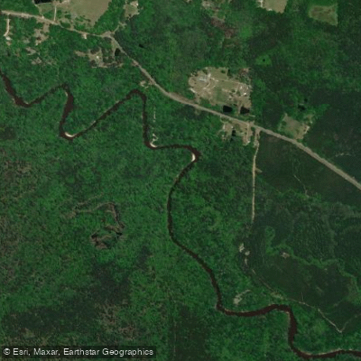
Old Fort Bayou flows through Jackson County in coastal Mississippi, originating in the longleaf pine savannas south of Vancleave and meandering southward through Ocean Springs before reaching its mouth at the Gulf Coast. This blackwater bayou transforms dramatically along its journey, beginning as a narrow, wooded creek in the uplands and gradually widening into a tidal estuary where freshwater meets saltwater. The bayou passes through several significant conservation areas, including the Mississippi Sandhill Crane National Wildlife Refuge, The Nature Conservancy's Old Fort Bayou mitigation property, the Land Trust's Twelve Oaks Conservation Park, and Mississippi's Old Fort Bayou Coastal Preserve.
Paddlers will encounter two distinct personalities along Old Fort Bayou. The northern reaches above Interstate 10 present an intimate, sheltered waterway overhung with vegetation and shaded by hardwood forests. This section features clear to tea-colored water and provides a stark contrast to the more developed areas downstream. Starting from The Shed BBQ & Blues Joint in Ocean Springs, paddlers can explore this upper section via an out-and-back route that reveals blooming magnolias, wisteria, wild roses, and azaleas draping over the water's edge, particularly spectacular during March and April. Around 3 to 3.5 miles upstream, the bayou forks where Old Fort Bayou proper continues to the right with shallower, orange-tinted water, while Fort Bayou Creek branches left and remains navigable for another mile or more.
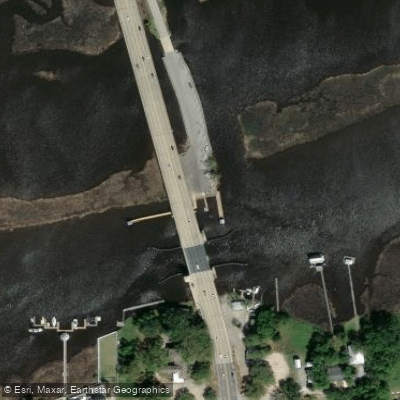
The complete Old Fort Bayou Blueway extends from the Vancleave area down to the Fort Bayou Draw Bridge over Washington Avenue in Ocean Springs, offering a longer journey through varied habitats. The lower two-thirds of the bayou transitions into open marsh grass with greater exposure to wind and tides, hosting powerboat traffic and the popular annual Battle on the Bayou paddle race in the Gulf Hills area.
All sections rate as flatwater paddling suitable for beginners, though understanding tidal influences becomes important in the lower estuary. The bayou supports diverse wildlife including turtles, wading birds, butterflies, and juvenile blue crabs that utilize the submerged aquatic vegetation beds of widgeon grass and tape grass as nursery habitat. Paddlers should plan trips considering tidal cycles in the lower sections and may encounter shallow conditions during low water periods in the upper reaches. The Shed BBQ & Blues Joint serves as the primary access point for the northern section, while the Fort Bayou Draw Bridge area provides access to the southern terminus near Mikey's On the Bayou.
Water access, boat ramps & amenities
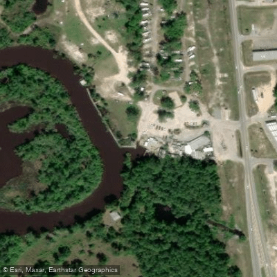
Learn how to get on Old Fort Bayou. Uncover great paddling access points, boat ramps, and all the facilities you need for an unforgettable day on the water. Some locations shown may border or include private property. Always check property boundaries and applicable regulations before visiting. PaddleWays's Public & Private Land layer can help you plan your access with confidence.
Paddle smarter with real-time insights
Whether you're en route and conditions shift or you're looking for the best spot based on current flows, we enable you to make informed decisions on the fly.








Find Places to Paddle

Over 400,000 Places to Paddle
Every user gets free access to launch points, boat ramps, and public property parcels.


Water and weather conditions (10 day forecast)
See the best times to paddle Old Fort Bayou and check the forecast before you go.
OLD FORT BAYOU AT OCEAN SPRINGS, MS
Paddling near Old Fort Bayou

Pascagoula River

Pearl River
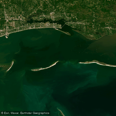
Mississippi Sound

Biloxi River
Tchoutacabouffa River
Biloxi Bay
Tuxachanie Creek
Chandeleur Sound
Black Creek
Explore Mississippi waters
Top paddling waters
Popular Cities
Loading popular cities...
Explore near Old Fort Bayou
Access points
Nearby waters
More in Mississippi

Smarter Paddling Starts in the App.
Paddleways gives you everything you need to plan smarter, paddle better, and own every trip from first launch to takeout.