Tuxachanie Creek
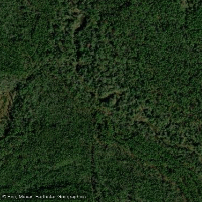
Tuxachanie Creek
- Boat Ramps
- 0
- Access Points
- 0
- Campsites
- 0
Tuxachanie Creek is a coastal blackwater stream flowing through the DeSoto National Forest in southeastern Mississippi, eventually merging with the Tchoutacabouffa River before reaching Biloxi Bay. The creek winds through one of the most ecologically significant longleaf pine ecosystems in the region, located near the communities of Biloxi, D'Iberville, and Saucier.
The paddling route from Highway 15 Bridge to Tux Creek Inn covers approximately 4 hours of Class I water, making it an ideal beginner-friendly float. The creek maintains a nice flow with semi-cold water temperatures and features several small rapid sections and one minor waterfall area that add interest without requiring advanced skills. A rope swing near the downstream section provides a popular recreation spot. The put-in at Highway 15 Bridge (coordinates 30.525347, -88.923691) requires carrying boats down an unstable path to the water, with roadside parking recommended unless you have an off-road vehicle. The take-out at Tux Creek Inn (coordinates 30.497319, -88.903649) features a convenient sandbar behind the bed and breakfast, though advance notification to the property owners is courteous.
The creek corridor supports diverse wetland habitats including sloughs, pitcher-plant bogs, and lowland swamps characteristic of the Gulf Coast's longleaf pine ecosystem. Golden-club (never-wet) grows abundantly in the creek, while star-anise produces maroon flowers in the creek bottoms. The surrounding DeSoto National Forest represents a nationally significant ecosystem that underwent restoration following Hurricane Katrina damage in 2005.
The famous Tuxachanie Trail, a 12.6-mile hiking route built along an abandoned early 1900s logging railroad, crosses the creek system at multiple points via wooden bridges and elevated footbridges. These crossings provide additional access points for exploration. The trail begins 2.5 miles north of Saucier off Highway 49 and passes through rows of live oaks planted in 1935.
Conservation efforts by the Trust for Public Land, U.S. Forest Service, and Partnership for Gulf Coast Land Conservation have expanded public access to Tuxachanie Creek, supporting development of a "blueway" recreational corridor along the Tchoutacabouffa/Tuxachanie waterways in partnership with the City of D'Iberville. These acquisitions, funded through the Land and Water Conservation Fund, also facilitate prescribed fire management essential to maintaining the longleaf pine ecosystem.
Paddlers typically encounter solitude on the creek, with minimal traffic even during pleasant weather. No fees apply for creek access, though coordination with private landowners at take-out points is recommended. The waterway offers excellent opportunities for fishing and wildlife watching in a relatively undeveloped coastal forest setting.
Water access, boat ramps & amenities
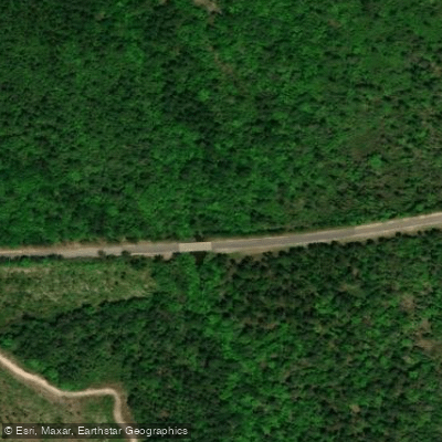
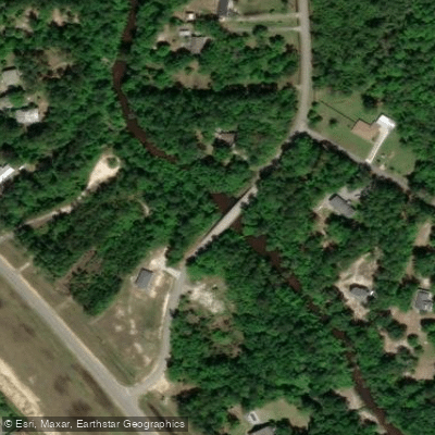
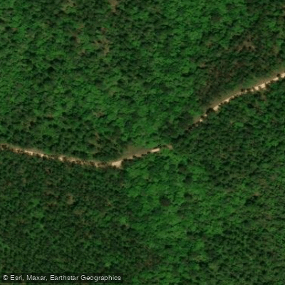
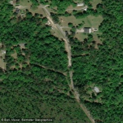
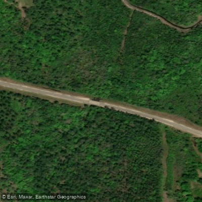
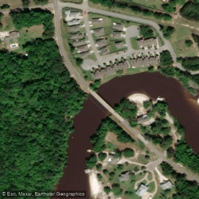
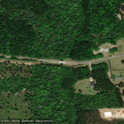
Learn how to get on Tuxachanie Creek. Uncover great paddling access points, boat ramps, and all the facilities you need for an unforgettable day on the water. Some locations shown may border or include private property. Always check property boundaries and applicable regulations before visiting. PaddleWays's Public & Private Land layer can help you plan your access with confidence.
Paddle smarter with real-time insights
Whether you're en route and conditions shift or you're looking for the best spot based on current flows, we enable you to make informed decisions on the fly.








Find Places to Paddle

Over 400,000 Places to Paddle
Every user gets free access to launch points, boat ramps, and public property parcels.


Water and weather conditions (10 day forecast)
See the best times to paddle Tuxachanie Creek and check the forecast before you go.
No forecast data available.
Paddling near Tuxachanie Creek

Pascagoula River

Pearl River
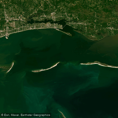
Mississippi Sound

Biloxi River
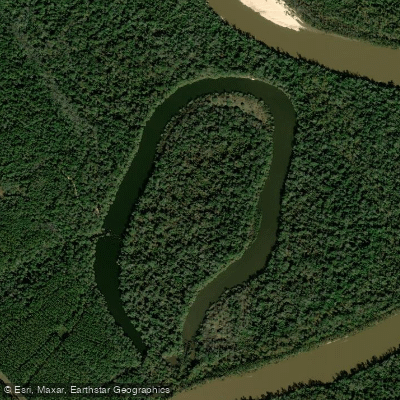
McCrea Dead River
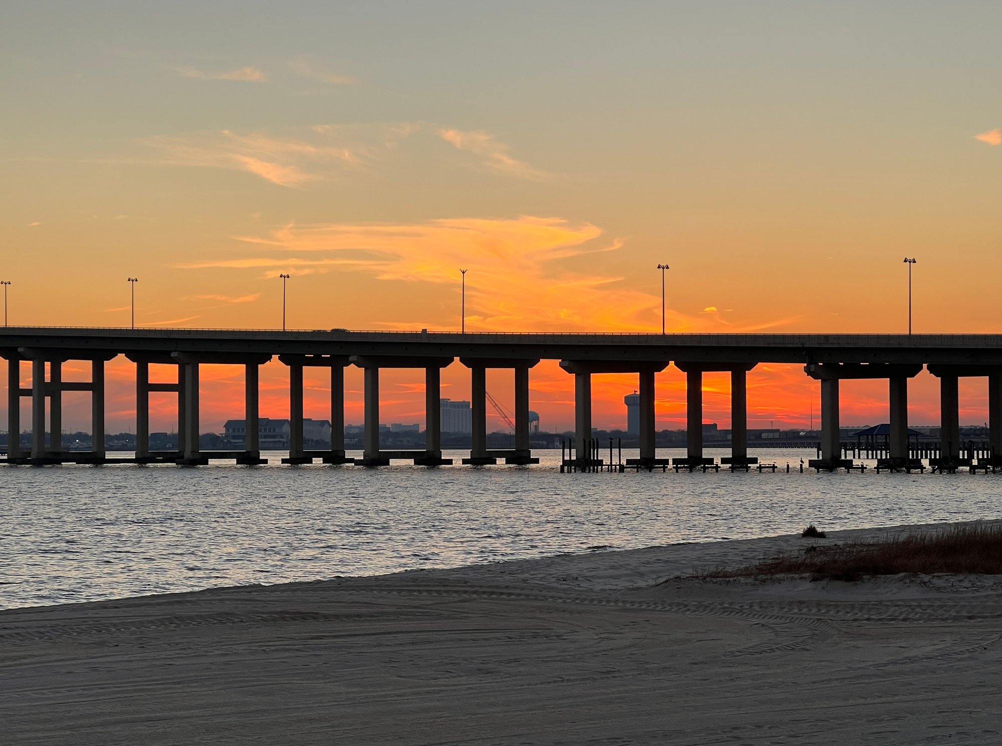
Biloxi Bay
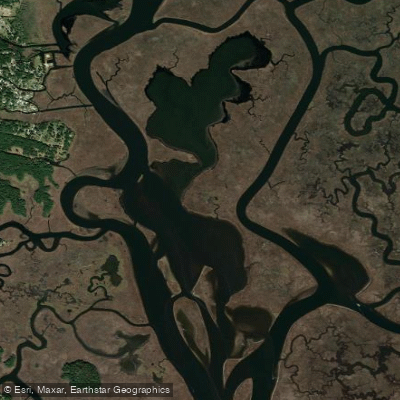
Big Lake
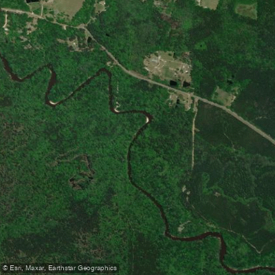
Black Creek
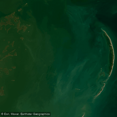
Chandeleur Sound
Explore Mississippi waters
Top paddling waters
Popular Cities
Loading popular cities...
Explore near Tuxachanie Creek
Access points
Nearby waters
More in Mississippi

Smarter Paddling Starts in the App.
Paddleways gives you everything you need to plan smarter, paddle better, and own every trip from first launch to takeout.