Chopawamsic Creek
- Saltwater
- Tidal creek
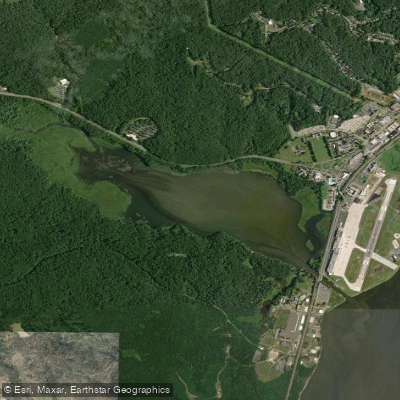
Chopawamsic Creek
- Saltwater
- Tidal creek
- Sq. miles
- 0.6
- Boat Ramps
- 0
- Access Points
- 0
- Campsites
- 2
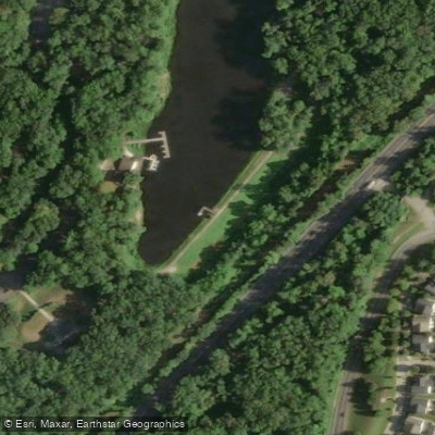
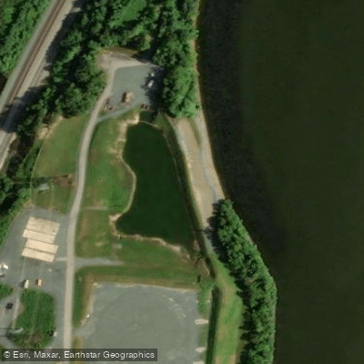
Chopawamsic Creek is a shallow, tidal creek located on the Mainside portion of Marine Corps Base Quantico in Virginia. It is subject to significant tidal changes, with depth varying from only a few feet at high tide to potentially unnavigable levels at low tide, especially during periods of heavy west or northwest winds. The creek's bottom is extremely soft with silt buildup. There are two primary boat ramps for access. The western ramp is a shallow gravel launch off Russell Road, best suited for canoes, kayaks, and lightweight craft; its parking is limited and maneuvering a car and trailer is difficult. The eastern ramp, located behind the Officer Candidate School, is a steeper, deeper cement ramp that can accommodate larger boats, though it can be slippery when wet or icy. The current at this eastern ramp can be strong on a wind-aided rising or falling tide, complicating launch and recovery. Paddlers must consult the tide schedule before a trip, as timing is critical for navigation and access. The creek is known for having lotus blooms, which can be a notable sight during summer paddles. The surrounding area includes wooded shorelines, and the creek flows into the Potomac River. Access to the creek is on a military base, and all visitors must register for an account on the base's iSportsman online platform. While fishing regulations are noted, they do not specifically restrict paddling. The overall experience is defined by its tidal nature, requiring careful planning around water levels and currents.
Water access, boat ramps & amenities
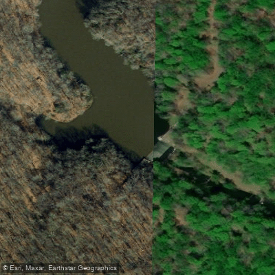
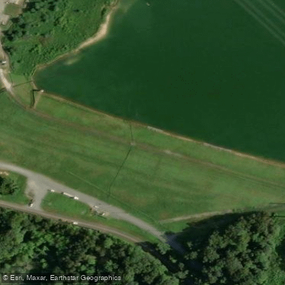
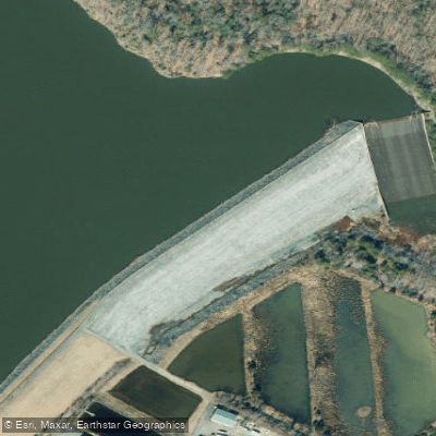
Learn how to get on Chopawamsic Creek. Uncover great paddling access points, boat ramps, and all the facilities you need for an unforgettable day on the water. Some locations shown may border or include private property. Always check property boundaries and applicable regulations before visiting. PaddleWays's Public & Private Land layer can help you plan your access with confidence.
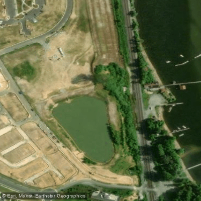
Paddle smarter with real-time insights
Whether you're en route and conditions shift or you're looking for the best spot based on current flows, we enable you to make informed decisions on the fly.








Find Places to Paddle

Over 400,000 Places to Paddle
Every user gets free access to launch points, boat ramps, and public property parcels.


Tides, wind & water conditions (10 day forecast)
On open water, wind and tide matter as much as the weather. See the best times to paddle Chopawamsic Creek and check the marine forecast before you launch.
Loading tide predictions…
Paddling near Chopawamsic Creek

Rappahannock River

Potomac River
Potomac Creek
Lake Anna
Mattaponi River
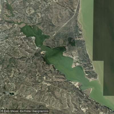
Aquia Creek

James River

Patuxent River
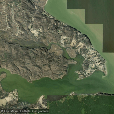
Accokeek Creek
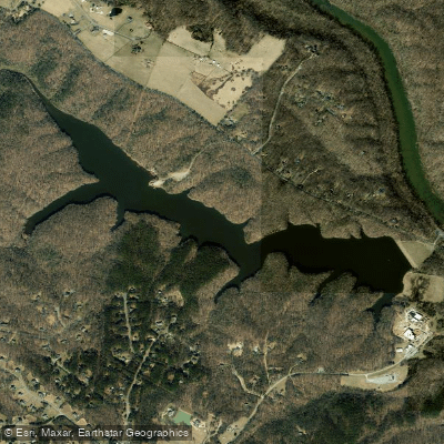
Motts Run Reservoir
Explore Virginia waters
Top paddling waters
Popular Cities
Loading popular cities...
Explore near Chopawamsic Creek
Nearby waters
More in Virginia

Smarter Paddling Starts in the App.
Paddleways gives you everything you need to plan smarter, paddle better, and own every trip from first launch to takeout.