Curated by PaddleWays
RouteClass I
- Distance
- 2.8 mi
- Paddle time
- ~1 hr
- Best for
- Beginners
- Put-in → take-out
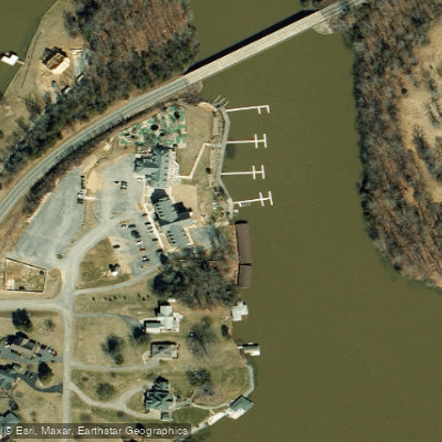
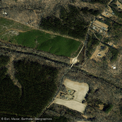
- Landra Bridge Road Access → Hewlett Road Access
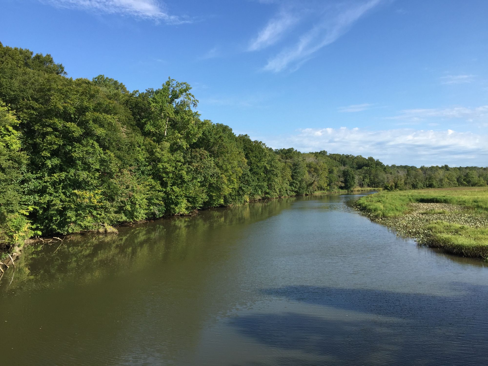
The North Anna River is a significant waterway in central Virginia, originating in the western part of the state and flowing generally eastward. It joins with the South Anna River to form the Pamunkey River, which ultimately drains into the Chesapeake Bay. The North Anna stretches approximately 62 miles through the Virginia Piedmont region, forming part of the York River watershed.
Paddling opportunities on the North Anna River cater to a range of skill levels, with several distinct sections offering varied experiences. The upper reaches near Lake Anna provide relatively calm waters suitable for beginners, while the middle and lower sections feature more challenging Class II-III rapids that attract intermediate and advanced paddlers. The river's difficulty ranges from Class I to III, with the most technical whitewater found in the Hanover County section. Paddlers should be comfortable with swift water, maneuvering around obstacles, and navigating moderate rapids. The Fall Line Rapid, a Class III+ feature, is a notable challenge that requires careful scouting.
Water levels on the North Anna are relatively consistent year-round due to the presence of Lake Anna, an artificial reservoir created in the 1970s to cool the North Anna Nuclear Generating Station. Spring and fall typically offer the best paddling conditions, with summer providing reliable flows but potentially crowded conditions.
The river corridor supports a diverse ecosystem, home to various fish species, including smallmouth bass and catfish. Bald eagles and great blue herons are common sights, while river otters and beavers may be spotted along the banks. Key landmarks include the remains of Anderson Mill dam, located about four miles downstream from the Route 658 bridge, offering a glimpse into the area's industrial history. The confluence with the South Anna River marks the beginning of the Pamunkey River and is a significant geographical feature.
Popular access points include the Route 1 put-in north of Ashland, the Butler Ford Bridge (Route 601) in Hanover County, and various take-outs such as Route 301 on the Pamunkey River. Nearby towns like Ashland and Doswell serve as convenient bases for paddling trips.
The North Anna River played a role in Civil War campaigns and has been an important resource for local communities throughout history. Today, it serves as a valuable recreational asset while also supporting the region's power generation needs.
Safety considerations include being aware of water levels, watching for fallen trees and other obstacles, and respecting private property along the banks. Paddlers should always wear life jackets and be prepared for changing weather conditions. For those seeking a multi-day adventure, it's possible to combine sections of the North Anna with the Pamunkey River, creating extended trips that showcase the region's natural beauty and provide a comprehensive paddling experience through central Virginia's waterways.
Curated routes
Hand-picked by the PaddleWays team, with put-ins, take-outs, paddle times and the hazards along the way.
RouteClass I
Hazards
No paddler has reported a hazard here yet, so these are the dams, falls and big rapids on our map. Hazards change with flows and storms, so check them before you launch.
From the community
Nobody has shared a trip on North Anna River yet. Paddle it, then tell the next paddler how it went.
See exactly where the public can get on and off the river. Launch points and boat ramps are paired with PaddleWays' public land data so you know where you can legally land.
Public shoreline
2%of the river's shoreline is public
Most of the riverbank is private. Launch, land and camp only at public access points.
Flows, weather and a route-by-route verdict, so you know which stretch of the North Anna River is worth paddling today.
All Flow Stations
Live flows, marked hazards and fresh trip reports from paddlers who were just on the water, all in one place.





Every user gets free access to launch points, boat ramps, and public property parcels.

Loading popular cities...
PaddleWays gives you everything you need to plan smarter, paddle better, and own every trip from first launch to takeout.