Curated by PaddleWays
RouteClass II
- Distance
- 1.8 mi
- Paddle time
- ~0.5 hrs
- Best for
- Kayak, canoe
- Put-in → take-out
- USGS Gage Put-in → Potoma Wayside Take out
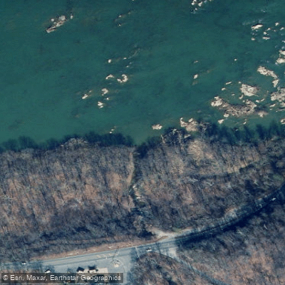
Piney Run originates in the northwestern corner of Loudoun County, Virginia, flowing northward through a predominantly rural watershed before emptying into the Potomac River approximately two miles downstream from Harpers Ferry. The stream drains roughly 15.2 square miles, with its headwaters beginning near Neersville and its confluence with the Potomac occurring near the rocky northern tip of Short Hill Mountain at a location historically known as Payne's Falls. The creek's most distinctive feature is a dramatic 20-foot waterfall at its mouth, the only such waterfall in Loudoun County, where the stream cascades over a rocky ledge before joining the Potomac. This area has historically served as a natural fish trap site, used first by Native Americans and later by colonial settlers like the Everhart brothers in the early 1800s. The northern tip of Short Hill, known as Devil's Elbow, creates a scenic gorge where the stream cuts through steep terrain, dropping approximately 150 feet over its final two miles.
Paddling opportunities on Piney Run itself are extremely limited due to its small size and seasonal flow variations. The stream is best characterized as a first and second-order waterway with insufficient volume for most paddling activities, particularly during late summer and fall when flows diminish significantly. However, the watershed's connection to the Potomac River provides access to larger paddling opportunities in the region.
The Piney Run watershed supports a mix of agricultural and forested land, with approximately 71% forest cover and 27% pasture. Wildlife includes white-tailed deer (estimated at 1,650), raccoons, muskrats, and beavers. The stream provides habitat for various fish species, though water quality has been impacted by agricultural runoff and livestock access.
Historical significance centers on the mill operations that once utilized the creek's waterpower. Peacher's Mill, constructed in 1825 at the mouth of Falls Branch (a tributary), was a substantial 2½-story stone structure with a unique millrace drawing water directly from the Potomac River. The area also features remnants of 19th-century infrastructure including a limekiln, road traces, and quarry sites along the former River Road that connected Harpers Ferry to Lovettsville.
Access to the lower reaches near the Potomac confluence is challenging, with limited public access points. The Blue Ridge Center for Environmental Stewardship property provides some watershed access for educational purposes. Water quality concerns related to fecal bacteria contamination have led to recreational use advisories, and the stream is classified as impaired under state standards. The watershed experiences minimal development pressure due to low imperviousness (0.08%), helping maintain its rural character.
Curated routes
Hand-picked by the PaddleWays team, with put-ins, take-outs, paddle times and the hazards along the way.
RouteClass II
Hazards
No paddler has reported a hazard here yet, so these are the dams, falls and big rapids on our map. Hazards change with flows and storms, so check them before you launch.
Rapid · Class V
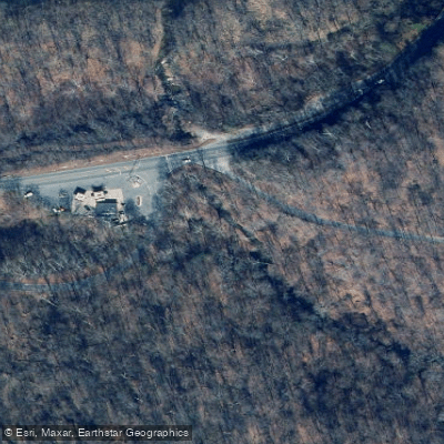
Piney Creek Falls, AKA: Crazy Creek Falls, Class 5+. This is a scenic falls accessed from Potoma wayside.
From the community
Nobody has shared a trip on Piney Run yet. Paddle it, then tell the next paddler how it went.
See exactly where the public can get on and off the river. Launch points and boat ramps are paired with PaddleWays' public land data so you know where you can legally land.
Public shoreline
18%of the river's shoreline is public
Most of the riverbank is private. Launch, land and camp only at public access points.
Flows, weather and a route-by-route verdict, so you know which stretch of the Piney Run is worth paddling today.
Live flows, marked hazards and fresh trip reports from paddlers who were just on the water, all in one place.





Every user gets free access to launch points, boat ramps, and public property parcels.

Loading popular cities...
PaddleWays gives you everything you need to plan smarter, paddle better, and own every trip from first launch to takeout.