Pocomoke Sound
- Saltwater
- Sound
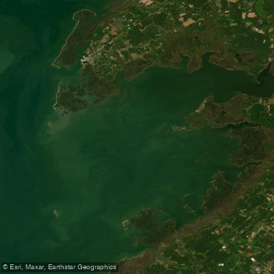
Pocomoke Sound
- Saltwater
- Sound
- Sq. miles
- 86
- Boat Ramps
- 1
- Access Points
- 0
- Campsites
- 1
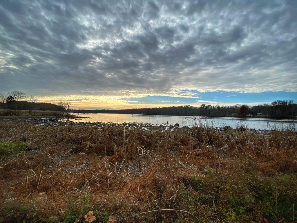
Pocomoke Sound is a wide estuary where the Pocomoke River meets the Chesapeake Bay, bounded by the Maryland shore near Crisfield and the Virginia salt marshes near Saxis. This saltwater sound is the gateway to the Pocomoke River, which is noted for being exceptionally deep and narrow for its length. The sound itself offers excellent paddling along its north shore, which features numerous creeks and inlets. A key launch for accessing the sound is at the Cavalry Road bridge across Jenkins Creek, south of Crisfield. From there, paddlers reach the sound by heading south on a canal past Crisfield on the Little Annemessex River, then proceeding either west and south around Cedar Island into Tangier Sound or taking a shortcut through Broad Creek Cut-through and Ape Hole Creek; the latter route is preferred in strong northerly winds. Other launch points providing access to the sound and its adjacent waterways include Shelltown Landing and Pitts Landing, both located near the river's mouth. Pitts Landing offers access to the scenic and twisting Pitts Creek, which is largely free of boat traffic. For multi-day trips, paddlers can camp at Janes Island State Park in Maryland, which has a water trail with primitive campsites, or at the Tall Pines Harbor campground near Saxis in Virginia, which has amenities like showers and requires advance reservations. The sound is exposed to wind and weather typical of the Chesapeake Bay, and paddlers must plan routes considering wind direction, particularly using protected cuts when northerlies are strong. The surrounding landscape transitions from estuarine salt marshes to the unique bald cypress swamps of the Pocomoke River watershed, characterized by dark, tannin-stained water. The area is largely undeveloped, supporting a wide biodiversity, and is part of a region with significant ecological importance to the Chesapeake Bay.
Water access, boat ramps & amenities
Learn how to get on Pocomoke Sound. Uncover great paddling access points, boat ramps, and all the facilities you need for an unforgettable day on the water. Some locations shown may border or include private property. Always check property boundaries and applicable regulations before visiting. PaddleWays's Public & Private Land layer can help you plan your access with confidence.
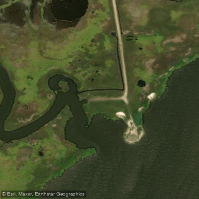
Paddle smarter with real-time insights
Whether you're en route and conditions shift or you're looking for the best spot based on current flows, we enable you to make informed decisions on the fly.








Find Places to Paddle

Over 400,000 Places to Paddle
Every user gets free access to launch points, boat ramps, and public property parcels.


Tides, wind & water conditions (10 day forecast)
On open water, wind and tide matter as much as the weather. See the best times to paddle Pocomoke Sound and check the marine forecast before you launch.
Loading tide predictions…
Paddling near Pocomoke Sound

Potomac River
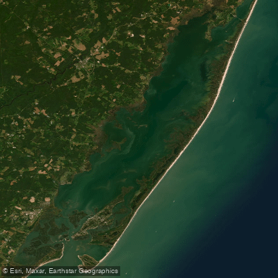
Chincoteague Bay
Manokin River
Pocomoke River
Chincoteague Inlet
Transquaking River
Wicomico River
Nanticoke River
Explore Virginia waters
Top paddling waters
Popular Cities
Loading popular cities...
Explore near Pocomoke Sound
Access points
Nearby waters
More in Virginia

Smarter Paddling Starts in the App.
Paddleways gives you everything you need to plan smarter, paddle better, and own every trip from first launch to takeout.