Poquoson River
- Saltwater
- Tidal river
Poquoson River
- Saltwater
- Tidal river
- Sq. miles
- 3.4
- Boat Ramps
- 1
- Access Points
- 0
- Campsites
- 0
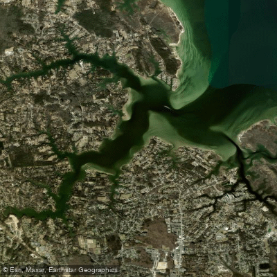
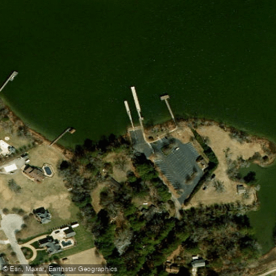
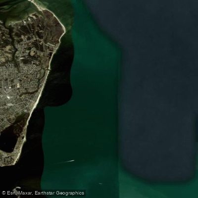
The Poquoson River is a narrow, winding tidal river on Virginia's Middle Peninsula that flows into the Chesapeake Bay. It is characterized by extensive marshes, numerous small creeks, and inlets, offering a protected flatwater environment ideal for kayaking, canoeing, and stand-up paddleboarding, especially for beginners. The river's shoreline features tall reeds, water grass, and residential backyards. A primary public access point is the Rodgers A. Smith public boat launch at the end of Tidemill Road in York County, which has a concrete boat ramp and ample parking. Within the city of Poquoson, key launches include the single-lane concrete ramp at the end of Rens Road, which provides access to the marshes of Plum Tree Island Wildlife Refuge, and the shallow gravel ramps at the end of Hunts Neck Road and Cedar Road. Messick Point Landing on nearby Back River offers another major access point with two paved ramps, restrooms, and picnic areas, though it is more exposed to southwest winds. The river is part of an 87-mile interconnected blueway with the Back River, allowing for extended exploration.
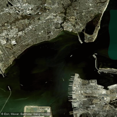
Paddlers must account for significant tidal currents, as the river is entirely tidal. Planning trips to paddle with the tide is recommended for easier travel. The area is also subject to wind, with fetch across open sections of the river and especially near the Chesapeake Bay entrance. Powerboat traffic can be heavy on weekends, particularly around the main launches and channels. The river opens into the Chesapeake Bay, where conditions can become rough with wind against tide, and a surf zone may be present at the river mouth. Notable wildlife includes ospreys, with several large nests reported, as well as bald eagles, herons, and deer. Vistas include views of Factory Point, the NASA/Langley Research Center, and Langley Air Force Base. The surrounding Plum Tree Island National Wildlife Refuge and Cow Island offer destinations for longer trips exploring intricate creeks and flats.
Water access, boat ramps & amenities
Learn how to get on Poquoson River. Uncover great paddling access points, boat ramps, and all the facilities you need for an unforgettable day on the water. Some locations shown may border or include private property. Always check property boundaries and applicable regulations before visiting. PaddleWays's Public & Private Land layer can help you plan your access with confidence.
Paddle smarter with real-time insights
Whether you're en route and conditions shift or you're looking for the best spot based on current flows, we enable you to make informed decisions on the fly.








Find Places to Paddle

Over 400,000 Places to Paddle
Every user gets free access to launch points, boat ramps, and public property parcels.


Tides, wind & water conditions (10 day forecast)
On open water, wind and tide matter as much as the weather. See the best times to paddle Poquoson River and check the marine forecast before you launch.
Loading tide predictions…
Paddling near Poquoson River


Explore Virginia waters
Top paddling waters
Popular Cities
Loading popular cities...
Explore near Poquoson River

Smarter Paddling Starts in the App.
Paddleways gives you everything you need to plan smarter, paddle better, and own every trip from first launch to takeout.