Toms Cove
- Saltwater
- Cove
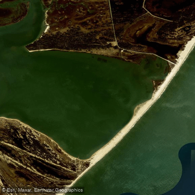
Toms Cove
- Saltwater
- Cove
- Sq. miles
- 2.4
- Boat Ramps
- 0
- Access Points
- 0
- Campsites
- 0
Toms Cove is a coastal saltwater feature on the Virginia side of Assateague Island, forming a semi-protected, shallow cove along the Atlantic Ocean. It is situated within the Chincoteague National Wildlife Refuge and Assateague Island National Seashore. The primary public access point for paddlers is near the Toms Cove Visitor Center, with a launch site in the bayside parking lot #2 at the beach. Boats must be carried a few hundred feet along a path from the parking area to the water's edge, which is a sandy beach. Ample parking is available, but an entry fee to the Refuge is required for access. Launching and landing of kayaks, canoes, and paddleboards is permitted on the shores of Toms Cove and on designated, non-lifeguarded sections of the ocean beach. However, portions of the shoreline are closed to boat landings between March 15 and September 1 for bird nesting. Paddling is not permitted in refuge impoundments or borrow ditches. The cove offers calm, protected waters with minimal wave action, making it suitable for beginners. The area is affected by tides, and paddlers should be aware of tidal changes as water levels can vary significantly; extensive mudflats may be exposed at low tide. The shallow water near the launch is known for sightings of Cow Nose Rays. Wildlife viewing is a key feature, with abundant shorebirds and the possibility of seeing the famous Assateague ponies along the shoreline. Paddlers must watch carefully for swimmers in both the cove and the ocean. The National Park Service conducts guided 90-minute kayak tours of the cove for a fee, with equipment provided. Private rentals are available in the town of Chincoteague. The overall experience is characterized by easy, scenic paddling along a natural coastline with views of Assateague Island and the Atlantic Ocean.
Water access, boat ramps & amenities
Learn how to get on Toms Cove. Uncover great paddling access points, boat ramps, and all the facilities you need for an unforgettable day on the water. Some locations shown may border or include private property. Always check property boundaries and applicable regulations before visiting. PaddleWays's Public & Private Land layer can help you plan your access with confidence.
Paddle smarter with real-time insights
Whether you're en route and conditions shift or you're looking for the best spot based on current flows, we enable you to make informed decisions on the fly.








Find Places to Paddle

Over 400,000 Places to Paddle
Every user gets free access to launch points, boat ramps, and public property parcels.


Tides, wind & water conditions (10 day forecast)
On open water, wind and tide matter as much as the weather. See the best times to paddle Toms Cove and check the marine forecast before you launch.
Loading tide predictions…
Paddling near Toms Cove

Potomac River
Chincoteague Bay
Manokin River
Pocomoke River
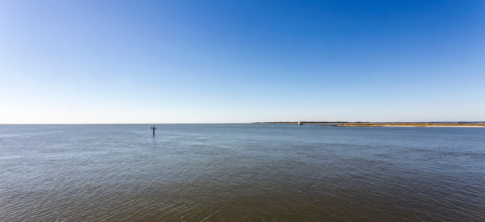
Chincoteague Inlet
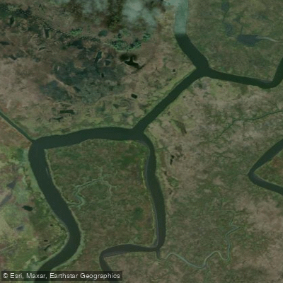
Transquaking River
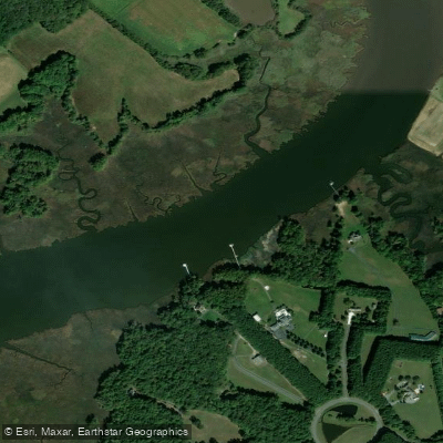
Wicomico River
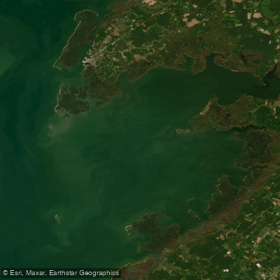
Pocomoke Sound
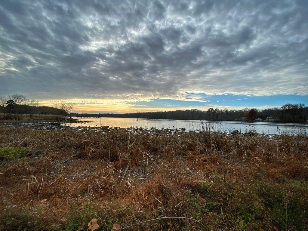
Nanticoke River
Explore Virginia waters
Top paddling waters
Popular Cities
Loading popular cities...
Explore near Toms Cove

Smarter Paddling Starts in the App.
Paddleways gives you everything you need to plan smarter, paddle better, and own every trip from first launch to takeout.