Curated by PaddleWays
RouteClass II–III
- Distance
- 5.7 mi
- Paddle time
- ~1.5 hrs
- Put-in → take-out
- Sam Anderson Road → Amnicon Falls
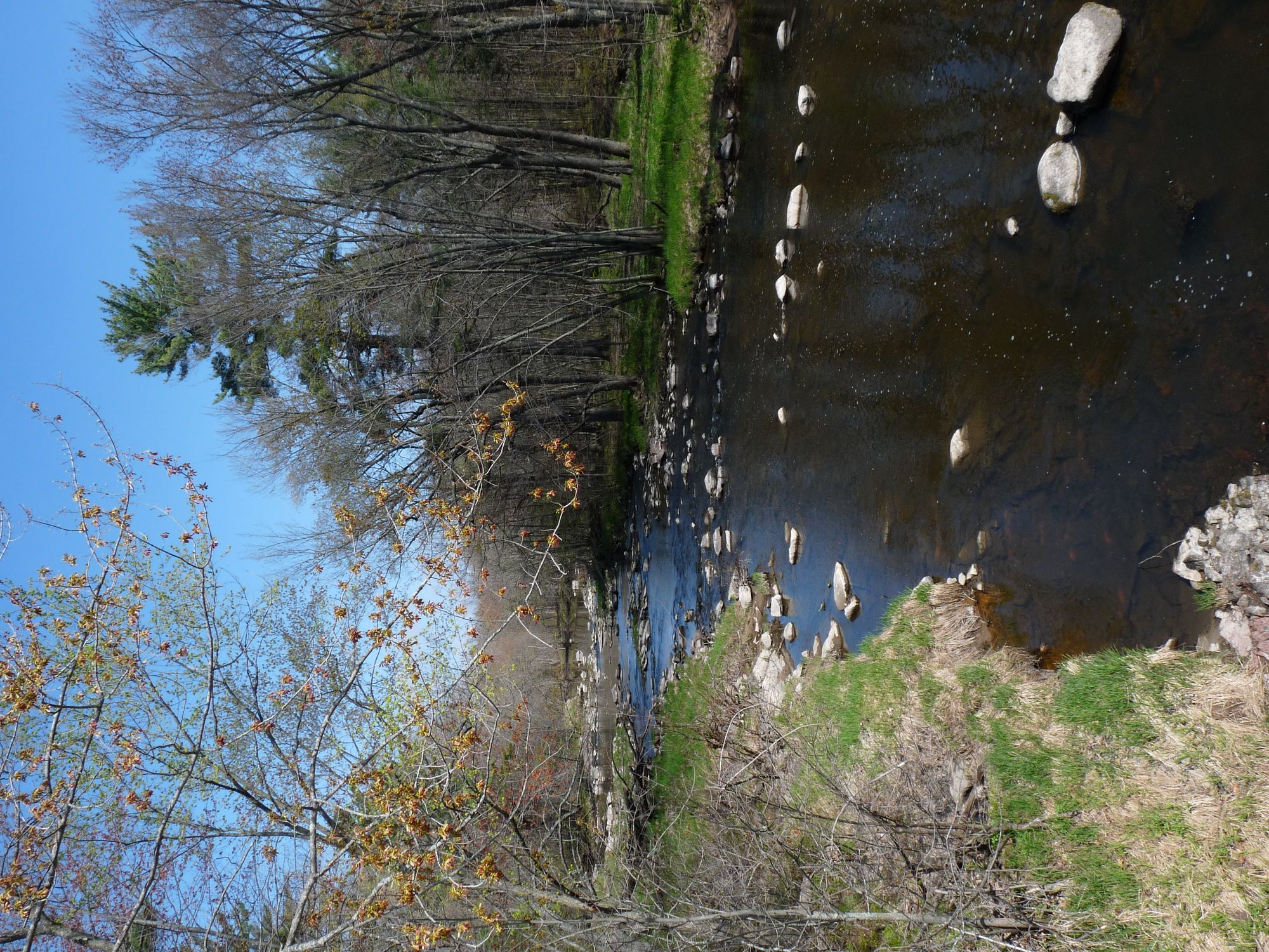
Waterfalls and rapids around the falls
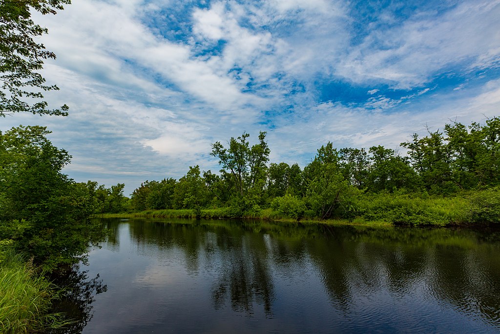
The Amnicon River is a dynamic waterway in northwestern Wisconsin, originating in the forested highlands of Douglas County and flowing northward for approximately 40 miles before emptying into Lake Superior. This river system drains a watershed of roughly 200 square miles, characterized by mixed hardwood forests and glacial till soils.
Paddlers are drawn to the Amnicon for its exciting whitewater sections and scenic beauty. The most popular run stretches 5.7 miles from Anderson Hill Road to County U, featuring a challenging mix of Class II to IV+ rapids. This section demands solid whitewater skills and the ability to read complex water features. Downstream, the river mellows as it approaches Lake Superior, offering more relaxed paddling opportunities.
The Amnicon's flow is highly seasonal, with optimal paddling conditions typically occurring during spring snowmelt (April to early May) and after significant rainfall events. Late summer often sees lower water levels, potentially exposing rocks and creating technical maneuvering challenges.
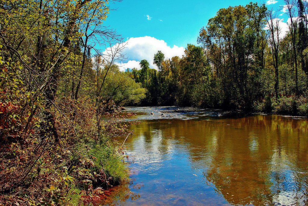
The river corridor supports a diverse ecosystem. Paddlers may spot white-tailed deer, river otters, and bald eagles. The shoreline is adorned with white pine, hemlock, and northern hardwoods, creating a vibrant display of colors in autumn.
A crown jewel of the Amnicon is Amnicon Falls State Park, where the river tumbles over a series of picturesque waterfalls. A covered foot bridge in the park offers excellent viewing opportunities, while a 2-mile trail system allows visitors to explore the river's edge.
Primary access points include Anderson Hill Road and County U in Douglas County, with the nearby town of South Range serving as a convenient base for paddlers. The city of Superior, about 15 miles north, offers additional amenities.
Historically, the Amnicon played a role in the region's logging industry, with its waters used to transport timber in the late 19th century. Today, it serves as an important recreational resource and a reminder of Wisconsin's natural heritage.
Safety is paramount on the Amnicon. Paddlers should wear appropriate safety gear, including helmets and life jackets, and possess the skills to self-rescue in swift water. Scouting unfamiliar rapids is strongly advised, particularly in the more challenging upper sections.
While primarily known for day trips, adventurous paddlers can string together multi-day experiences by combining the Amnicon with nearby rivers like the Brule or Black, creating a comprehensive tour of northwestern Wisconsin's whitewater gems.
Curated routes
Hand-picked by the PaddleWays team, with put-ins, take-outs, paddle times and the hazards along the way.
RouteClass II–III
Hazards
No paddler has reported a hazard here yet, so these are the dams, falls and big rapids on our map. Hazards change with flows and storms, so check them before you launch.
From the community
Nobody has shared a trip on Amnicon River yet. Paddle it, then tell the next paddler how it went.
See exactly where the public can get on and off the river. Launch points and boat ramps are paired with PaddleWays' public land data so you know where you can legally land.
Public shoreline
30%of the river's shoreline is public
Most of the riverbank is private. Launch, land and camp only at public access points.
Flows, weather and a route-by-route verdict, so you know which stretch of the Amnicon River is worth paddling today.
No forecast data available.
Live flows, marked hazards and fresh trip reports from paddlers who were just on the water, all in one place.





Every user gets free access to launch points, boat ramps, and public property parcels.
Loading popular cities...
PaddleWays gives you everything you need to plan smarter, paddle better, and own every trip from first launch to takeout.