Rock Creek
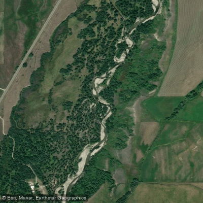
Rock Creek
- Boat Ramps
- 2
- Access Points
- 3
- Campsites
- 8
Rock Creek originates in the Beartooth Mountains of south-central Montana, carving through Carbon County before joining the Clarks Fork of the Yellowstone River. The creek flows generally northeast from high alpine headwaters near Lake Fork, passing through forested canyons before reaching the historic mining town of Red Lodge at approximately 5,500 feet elevation. This cold, clear mountain stream drains rugged terrain characterized by steep gradients, boulder gardens, and dense coniferous forest.
The primary paddling section runs from Lake Fork downstream to Red Lodge, offering approximately 10-15 miles of technical whitewater. At medium flows around 400-640 cubic feet per second, paddlers encounter sustained Class III-IV rapids with the notable S-curve Rapid serving as a significant feature requiring precise boat control. The creek's character changes with water levels—spring runoff from May through June can push flows well above 500 cfs, creating powerful hydraulics and wave trains, while late summer flows may drop below 150 cfs, exposing rocks and requiring more technical maneuvering.
Intermediate to advanced paddlers with solid Class III skills and experience reading technical rapids should consider Rock Creek appropriate for their abilities. The confined nature of the canyon, combined with cold water temperatures even in summer, demands reliable roll skills and swift-water rescue capabilities. Wood hazards present serious concerns; fallen trees can create river-wide strainers that appear suddenly after high water events or windstorms. Paddlers should scout unfamiliar sections and remain vigilant for new obstacles.
Access points include the put-in near Lake Fork and the take-out in Red Lodge, with limited intermediate access due to steep canyon walls and private property. Red Lodge, situated at the lower end of the run, provides services including lodging, dining, and outdoor equipment shops. The town serves as the primary staging area for paddling trips and offers USGS gauge information for flow assessment.
Rock Creek supports populations of cutthroat and rainbow trout, attracting anglers during summer months. Moose, black bears, and elk inhabit the surrounding forest, while osprey and bald eagles hunt along the creek corridor. The Beartooth Highway (US 212) provides scenic access to the upper watershed, though the paddling section itself remains relatively remote. The creek's proximity to Red Lodge, a former coal mining center established in the 1880s, connects paddlers to Montana's frontier history. Today, the town serves as a gateway to the Absaroka-Beartooth Wilderness, with Rock Creek offering a challenging whitewater experience in a spectacular mountain setting.
Water access, boat ramps & amenities
Learn how to get on Rock Creek. Uncover great paddling access points, boat ramps, and all the facilities you need for an unforgettable day on the water. Some locations shown may border or include private property. Always check property boundaries and applicable regulations before visiting. PaddleWays's Public & Private Land layer can help you plan your access with confidence.
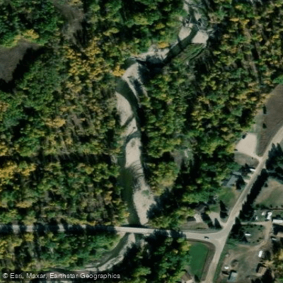
Paddle smarter with real-time insights
Whether you're en route and conditions shift or you're looking for the best spot based on current flows, we enable you to make informed decisions on the fly.








Find Places to Paddle

Over 400,000 Places to Paddle
Every user gets free access to launch points, boat ramps, and public property parcels.


Water and weather conditions (10 day forecast)
See the best times to paddle Rock Creek and check the forecast before you go.
Rock Creek near Red Lodge MT
Paddling near Rock Creek
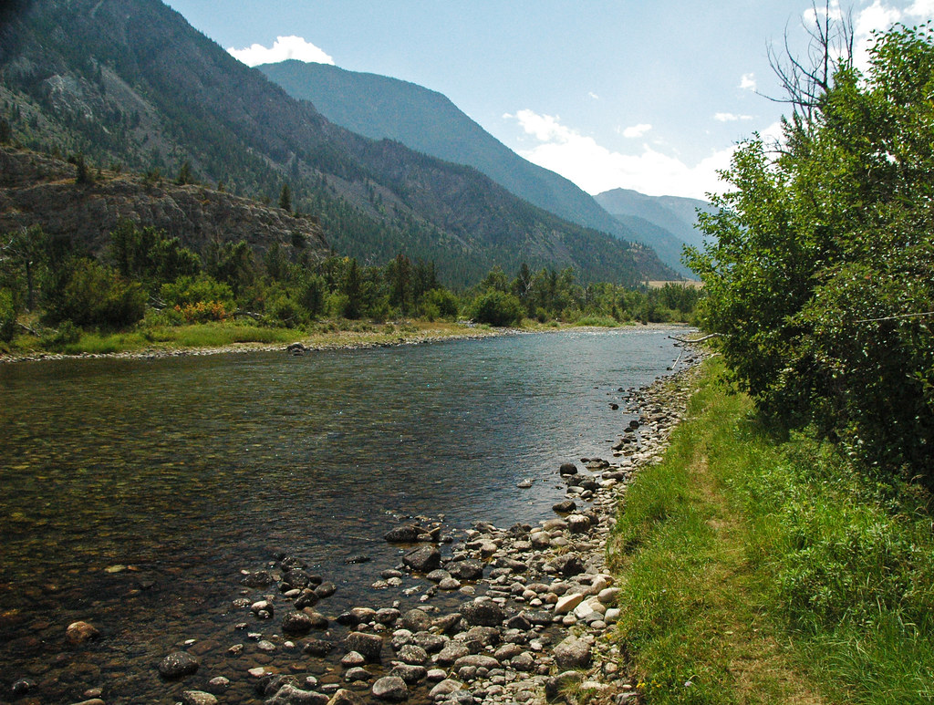
Stillwater River
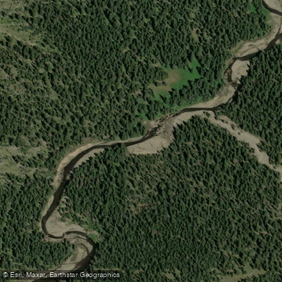
Soda Butte Creek
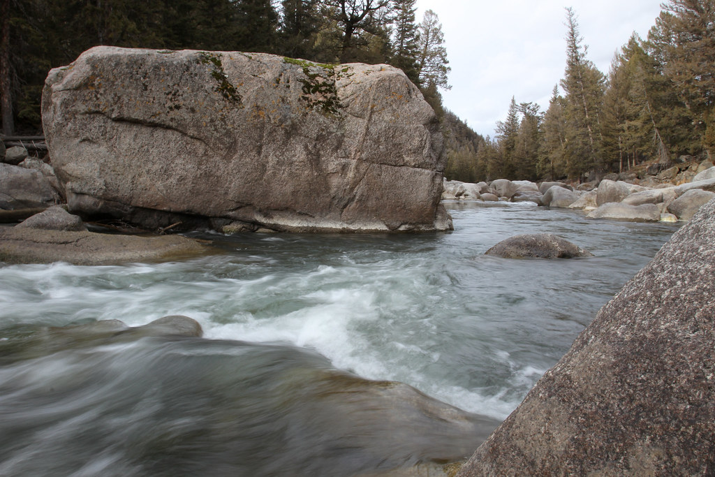
Lamar River
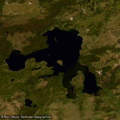
Yellowstone Lake

Boulder River
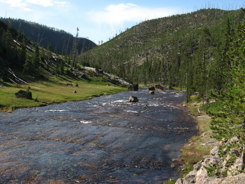
Gibbon River
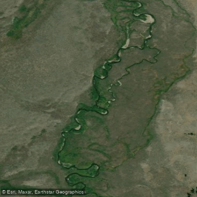
Gardner River
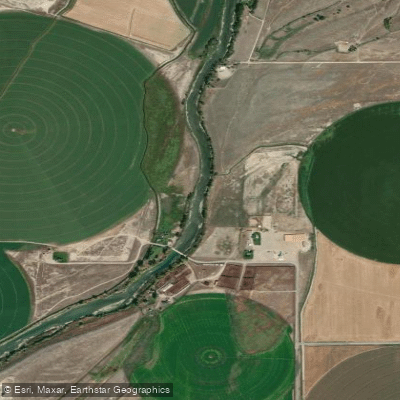
Clarks Fork Yellowstone River
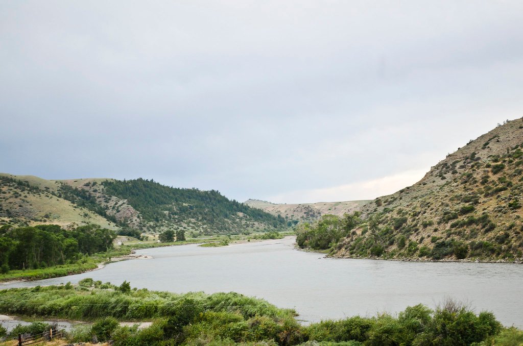
Yellowstone River
Explore Wyoming waters
Top paddling waters
Popular Cities
Loading popular cities...
Explore near Rock Creek
Access points
Nearby waters
More in Wyoming

Smarter Paddling Starts in the App.
Paddleways gives you everything you need to plan smarter, paddle better, and own every trip from first launch to takeout.