Curated by PaddleWays
RouteFlatwater
- Distance
- 6.7 mi
- Paddle time
- ~2 hrs
- Best for
- Kayak, canoe, tube
- Put-in → take-out
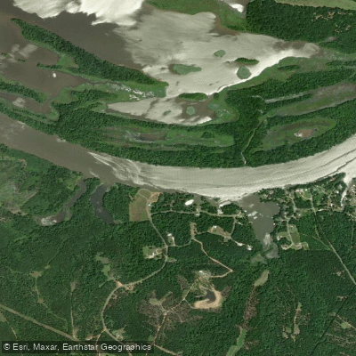
- Highway 31 Access → Fischer Landing Access
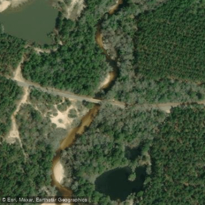
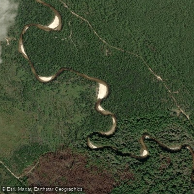
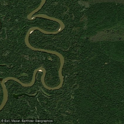
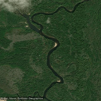
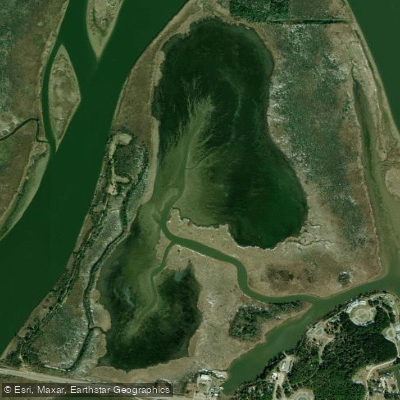
Big Escambia Creek originates near Frisco City in Monroe County, Alabama, and flows southward through southwest Conecuh County before entering Escambia County. The creek travels approximately 50 miles before reaching its confluence with the Conecuh River at Flomaton, Alabama, where the combined waters form the Escambia River that continues into Florida. This blackwater creek represents one of Alabama's premier wilderness paddling destinations, offering paddlers a journey through pristine forests and diverse ecosystems.
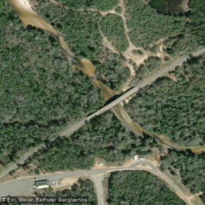
The creek provides multiple paddling sections ranging from challenging whitewater runs to gentle flatwater floats. The upper reaches feature Class II-III rapids with numerous snags and fallen trees requiring advanced maneuvering skills, particularly the demanding 11.78-mile section from Grisset Bridge to Slippery Turtle Landing. This challenging stretch flows through the 6,000-acre Magnolia Branch Wildlife Reserve, owned by the Poarch Band of Creek Indians, and features the notable Devil's Backbone - rocky ridges contrasting with the creek's typical clay bottom. Downstream sections become increasingly gentle, with the 13.3-mile flatwater run from Magnolia Branch to Flomaton offering a more relaxed paddling experience suitable for intermediate paddlers.
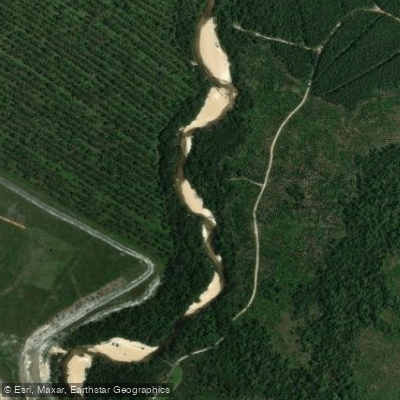
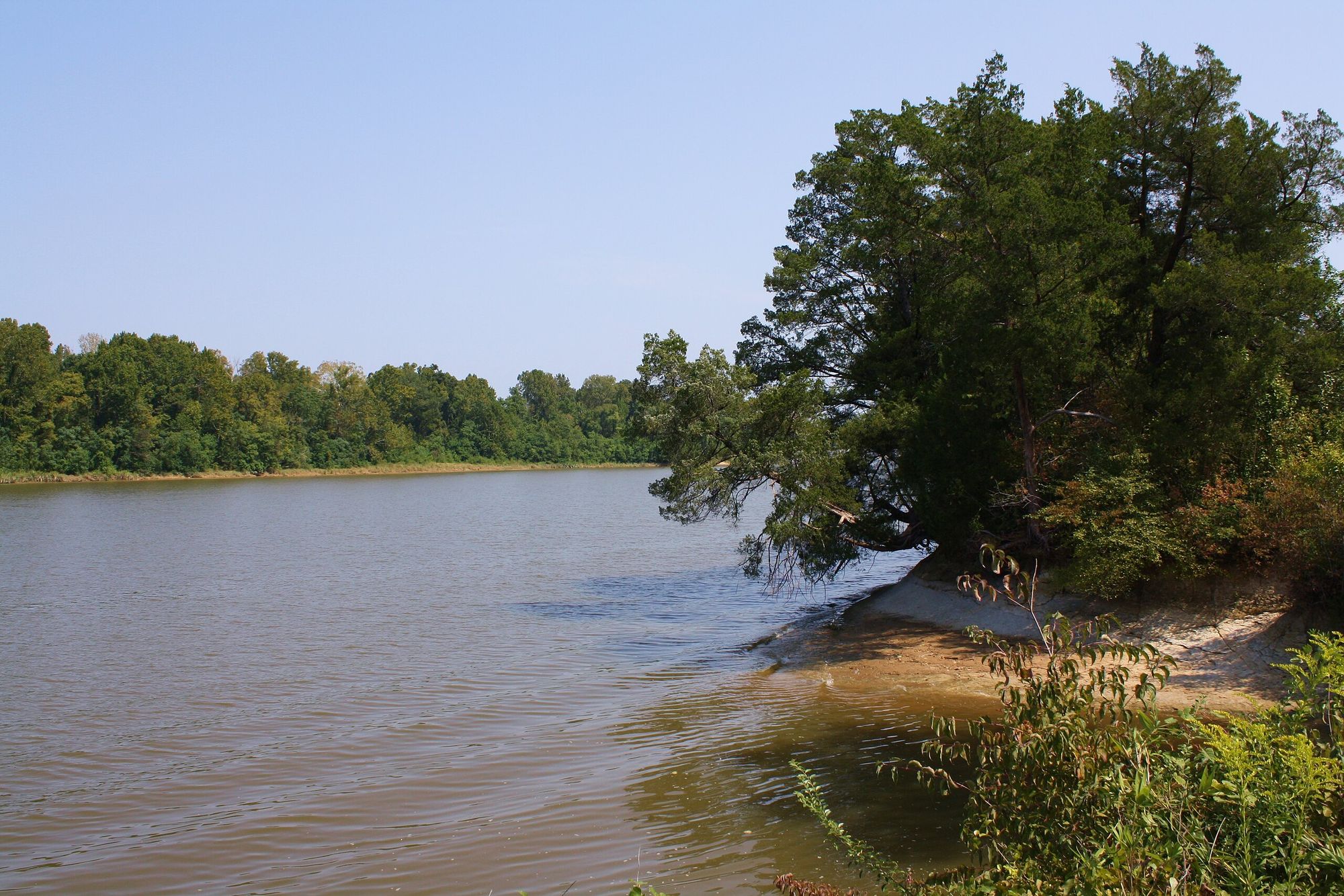
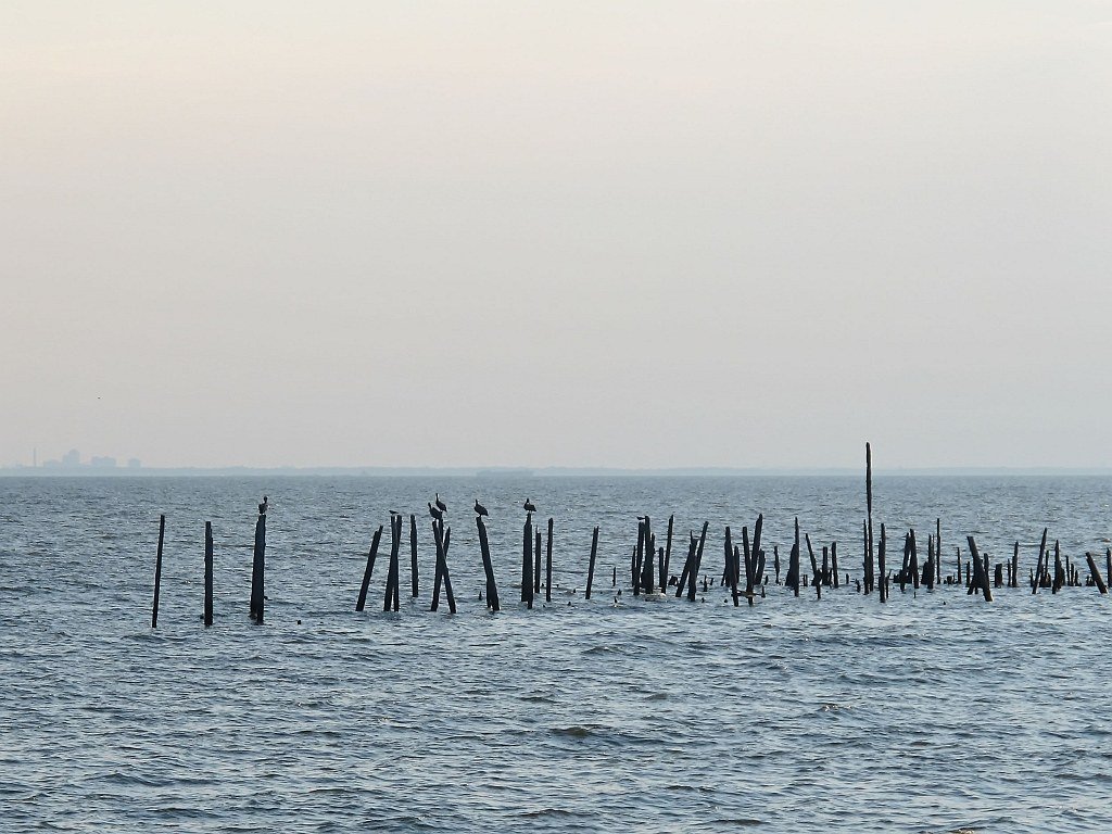
The creek's character transforms dramatically along its course. Beginning as a typical blackwater stream with occasional shoals, it gradually widens and slows as it approaches Flomaton, eventually taking on estuary-like characteristics. Water levels significantly affect the paddling experience - low water reveals beautiful rock formations and sandbars normally hidden beneath higher flows, while elevated levels can create hazardous conditions requiring trip cancellations.
Wildlife viewing opportunities abound throughout the system. Belted Kingfishers are commonly observed, along with Great Blue Herons, Great Egrets, and Green Herons. The creek flows through mixed forests of magnolias, longleaf pines, and wildflowers, creating a rich riparian ecosystem.
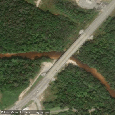
Key access points include Grisset Bridge, Sardine Bridge, Magnolia Branch Wildlife Reserve, and the Highway 31 Bridge at Flomaton. The Flomaton Landing provides excellent access for downstream exploration, with the creek continuing across the Florida border where additional take-out options extend paddling possibilities up to 17.7 miles into Florida.
Paddling seasons vary by section, with spring and fall generally providing optimal conditions. The upper sections require careful timing due to seasonal water level fluctuations and potential storm-related obstructions. The Magnolia Branch Wildlife Reserve offers commercial outfitting services, while the Flomaton area provides convenient access for self-guided trips. Multi-day expeditions are possible, combining the challenging upper sections with the gentler lower reaches for a comprehensive Big Escambia Creek experience.
Curated routes
Hand-picked by the PaddleWays team, with put-ins, take-outs, paddle times and the hazards along the way.
RouteFlatwater
RouteClass II–III
RouteFlatwater
Hazards
No hazards are marked on Big Escambia Creek yet. That is not the same as none being there: if you find one, report it for the next paddler.
From the community
Nobody has shared a trip on Big Escambia Creek yet. Paddle it, then tell the next paddler how it went.
See exactly where the public can get on and off the river. Launch points and boat ramps are paired with PaddleWays' public land data so you know where you can legally land.
Public shoreline
11%of the river's shoreline is public
Most of the riverbank is private. Launch, land and camp only at public access points.
Flows, weather and a route-by-route verdict, so you know which stretch of the Big Escambia Creek is worth paddling today.
All Flow Stations
Live flows, marked hazards and fresh trip reports from paddlers who were just on the water, all in one place.





Every user gets free access to launch points, boat ramps, and public property parcels.
Loading popular cities...
PaddleWays gives you everything you need to plan smarter, paddle better, and own every trip from first launch to takeout.