Delvan Bay
- Saltwater
- Bay
Delvan Bay
- Saltwater
- Bay
- Sq. miles
- 2.1
- Boat Ramps
- 1
- Access Points
- 0
- Campsites
- 1
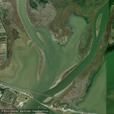
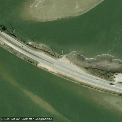
Delvan Bay is a brackish bay within the Mobile-Tensaw Delta in Alabama, USA. It is a coastal feature connected to the Spanish River, Mobile River, and Tensaw River system, and it empties into Mobile Bay. The bay is picturesque and is one of the deeper bays in the delta, making it a destination during periods of low water. Access for paddlers is primarily via the Battleship Causeway (U.S. Highway 90), which crosses the lower delta. There are free public boat ramps along the causeway, including a site known as the River Docs launch, which is a red clay launch point 1.5 miles east of the Exxon ramps on the north side of the causeway and just northwest of Ed’s Seafood Shed. Another common put-in is the Causeway Public Boat Ramps. The bay is part of a complex network of waterways suitable for extended paddling trips. A typical route could involve launching at the causeway, crossing the Tensaw River into Delvan Bay, proceeding into the Spanish River, and then into the Mobile River, creating a loop of approximately 22.5 miles taking about eight hours at a leisurely pace. Shorter trips of around 15 miles are also possible, incorporating Delvan Bay with Chocalata Bay, Conway Creek, and Little Bateau. The area is characterized by extensive floating grasses and shallow marshes, which can impede pedal-driven kayaks. Wildlife sightings include alligators, snakes, and dense populations of dragonflies. The surrounding delta is remote and swampy, with historical significance related to the Revolutionary War and the region's early colonial history. Waterfowl hunting is a common activity in the bay and surrounding marshes, and paddlers should be aware of other users during hunting seasons. One notable hazard is a persistent log jam in the nearby Pumphouse Canal, which can block passage. Tidal and current conditions in the area are generally reported as minimal for paddling trips.
Water access, boat ramps & amenities
Learn how to get on Delvan Bay. Uncover great paddling access points, boat ramps, and all the facilities you need for an unforgettable day on the water. Some locations shown may border or include private property. Always check property boundaries and applicable regulations before visiting. PaddleWays's Public & Private Land layer can help you plan your access with confidence.
Paddle smarter with real-time insights
Whether you're en route and conditions shift or you're looking for the best spot based on current flows, we enable you to make informed decisions on the fly.








Find Places to Paddle

Over 400,000 Places to Paddle
Every user gets free access to launch points, boat ramps, and public property parcels.


Tides, wind & water conditions (10 day forecast)
On open water, wind and tide matter as much as the weather. See the best times to paddle Delvan Bay and check the marine forecast before you launch.
Loading tide predictions…
Paddling near Delvan Bay

Pascagoula River
Tombigbee River
Mobile Bay
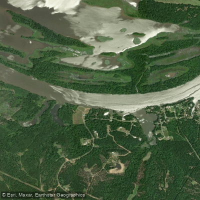
Alabama River
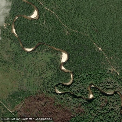
Perdido River
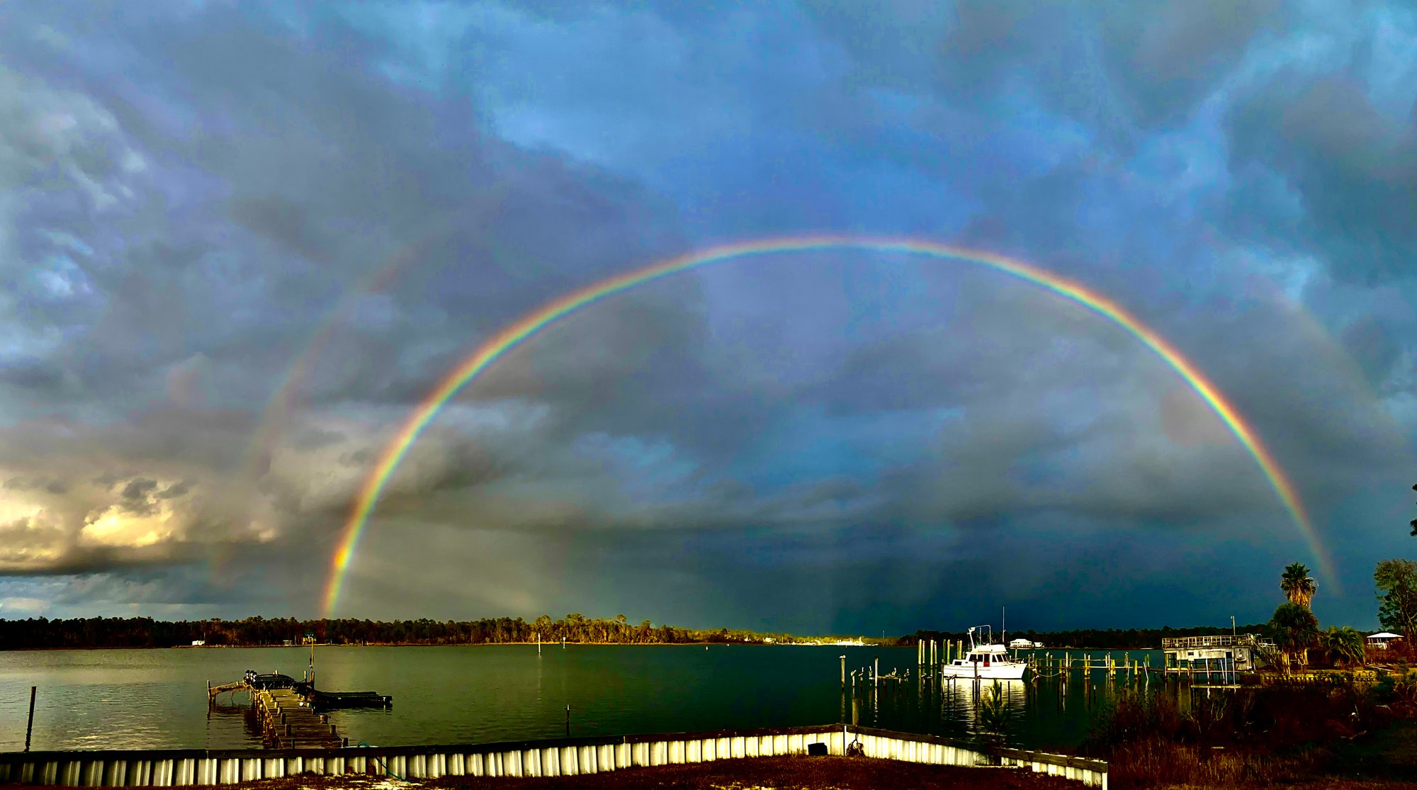
Bon Secour Bay
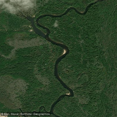
Escambia River
Justins Bay
Briar Lake
Explore Alabama waters
Top paddling waters
Popular Cities
Loading popular cities...
Explore near Delvan Bay
Access points
Nearby waters
More in Alabama

Smarter Paddling Starts in the App.
Paddleways gives you everything you need to plan smarter, paddle better, and own every trip from first launch to takeout.