Curated by PaddleWays
RouteFlatwater
- Distance
- 8.9 mi
- Paddle time
- ~3 hrs
- Put-in → take-out
- Manack Bridge → 59 launch takeout
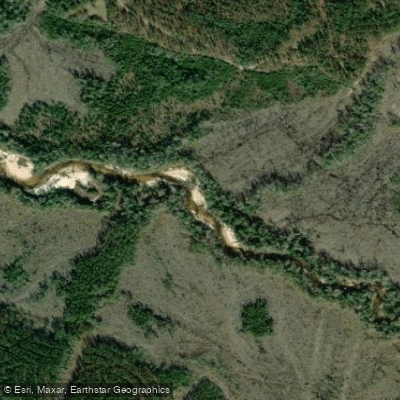
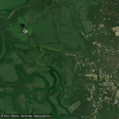
Little River in southwest Alabama flows through Baldwin, Clarke, Escambia, and Monroe counties, forming a distinct waterway system separate from the more famous Little River in northeast Alabama. This blackwater stream originates in the coastal plain region and meanders southward through pine flatwoods and bottomland hardwood forests before contributing to the Mobile-Tensaw Delta watershed system. The river's character reflects typical Gulf Coastal Plain hydrology, with dark tannin-stained waters flowing over sandy and occasionally rocky substrates. During periods of adequate rainfall, the river maintains navigable depths suitable for canoes and kayaks, though water levels can fluctuate significantly between wet and dry seasons.
The surrounding landscape features longleaf pine forests, magnolia groves, and cypress-tupelo swamps that create a corridor of biodiversity through the agricultural lands of the region. Paddling opportunities exist along various sections of Little River, with access points distributed across the four-county area. The river generally offers Class I conditions suitable for beginner to intermediate paddlers, with occasional shallow shoals and small drops that add interest without presenting serious technical challenges. Sandbars appear along the route, providing natural rest stops and potential primitive camping locations for multi-day expeditions. Water flow depends heavily on recent rainfall, with spring and early summer typically offering the most reliable conditions.
The river corridor supports populations of white-tailed deer, wild turkey, and various wading birds including herons and egrets. Anglers target largemouth bass, bream, and catfish throughout the system. The surrounding forests bloom with native wildflowers in spring, while fall brings migrating waterfowl to the region.
Access to Little River varies by county, with boat ramps and informal put-ins located near small communities throughout the watershed. Monroe County provides access points in the upper reaches, while downstream sections flow through Clarke and Escambia counties before the river's waters eventually reach Baldwin County's complex delta system. The river has served as a transportation corridor and resource for Native American populations, early European settlers, and subsequent generations of residents. Historical evidence suggests the waterway played roles in both subsistence activities and commercial timber operations during Alabama's development.
Paddlers should monitor water levels before trips, as low flows can require dragging boats over shallow sections, while high water may create swift currents and strainers from fallen trees. Alabama fishing licenses are required for anglers, and standard boating safety equipment including personal flotation devices is mandatory. The remote nature of some sections means self-sufficiency is essential, with limited services available along much of the river's length.
Curated routes
Hand-picked by the PaddleWays team, with put-ins, take-outs, paddle times and the hazards along the way.
RouteFlatwater
Hazards
No hazards are marked on Little River yet. That is not the same as none being there: if you find one, report it for the next paddler.
From the community
Real trips from PaddleWays paddlers: which route they ran, how the flows were, and what to watch for.
Loading trip reports
Paul K.
Mike M.
Kayak •
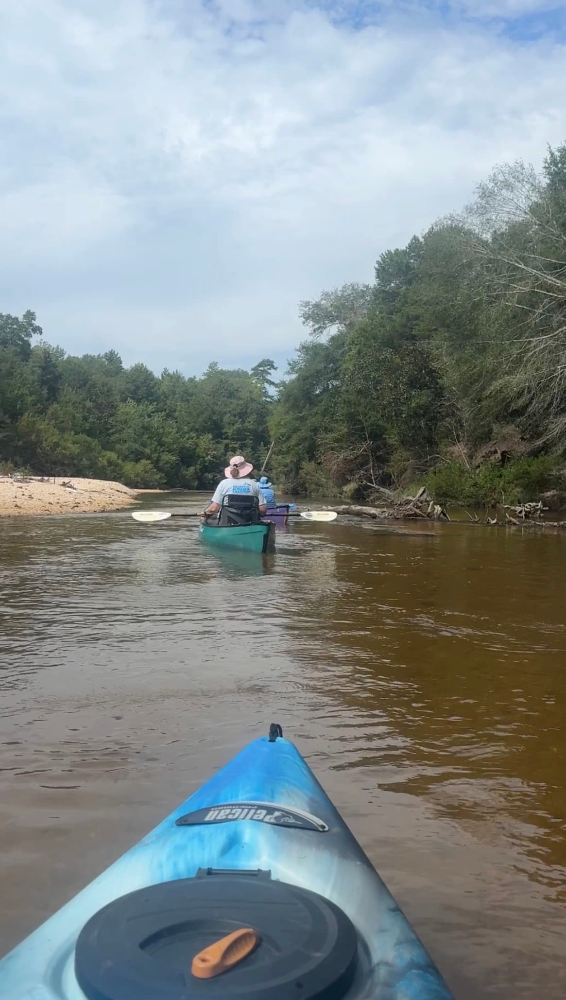
Manack Bridge to 59 launch takeout
Fun paddle 8.9 miles low water requires staying in a narrow channel.
See exactly where the public can get on and off the river. Launch points and boat ramps are paired with PaddleWays' public land data so you know where you can legally land.
Public shoreline
0%of the river's shoreline is public
Most of the riverbank is private. Launch, land and camp only at public access points.
Boat Ramp
Flows, weather and a route-by-route verdict, so you know which stretch of the Little River is worth paddling today.
No forecast data available.
Live flows, marked hazards and fresh trip reports from paddlers who were just on the water, all in one place.





Every user gets free access to launch points, boat ramps, and public property parcels.
Loading popular cities...
PaddleWays gives you everything you need to plan smarter, paddle better, and own every trip from first launch to takeout.





