Curated by PaddleWays
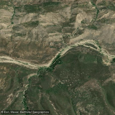
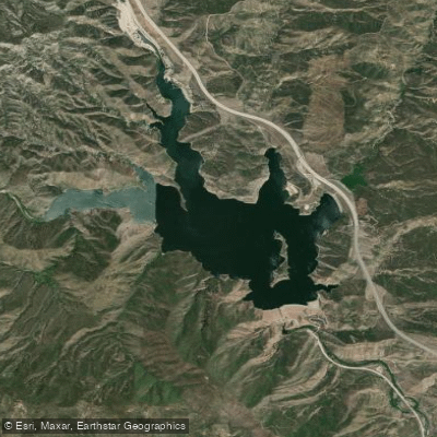
Lake Piru to Santa Clara River
on Piru Creek · 31 mi away
RouteClass II
- Distance
- 4.4 mi
- Paddle time
- ~1.5 hrs
- Best for
- Intermediate paddlers
- Put-in → take-out
- Lake Piru Access → Piru Train Bridge Access
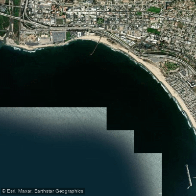
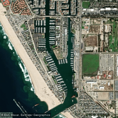
On the Ventura County coast, Port Hueneme sits at the heart of a paddling corridor anchored by Channel Islands Harbor in adjacent Oxnard, roughly 3 miles northwest — the closest flatwater launch hub for kayaking, canoeing, and SUP. Beyond the sheltered channels, the region reaches to world-class sea caves and kelp forests at Channel Islands National Park, plus inland reservoirs like Lake Casitas and Lake Piru.
Curated routes
Hand-picked by the PaddleWays team, with put-ins, take-outs and paddle times. Levels are read from live gauges.
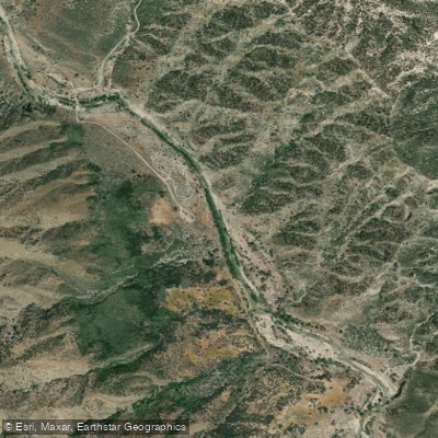
on Piru Creek · 31 mi away
RouteClass II
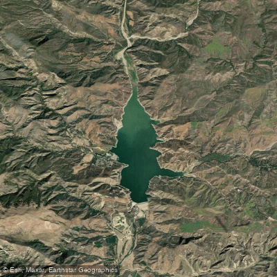
on Piru Creek · 38 mi away
RouteClass IV
on Piru Creek · 41 mi away
RouteClass IV–V
on Piru Creek · 41 mi away
RouteClass III–IV
Whether you're en route and conditions shift or you're looking for the best spot based on current flows, we enable you to make informed decisions on the fly.





PaddleWays gives you everything you need to plan smarter, paddle better, and own every trip from first launch to takeout.