Curated by PaddleWays
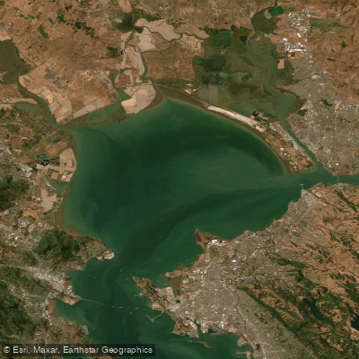
Carneros Section
on Napa River · 35 mi away
RouteFlatwater
- Distance
- 10.6 mi
- Paddle time
- ~3.5 hrs
- Best for
- Kayak, SUP
- Put-in → take-out
- Cuttings Wharf Boat Ramp → Vallejo Launch Boat Ramp
Set on the western shore of San Francisco Bay in San Mateo County, South San Francisco puts paddlers minutes from open bay water and the SF Bay Water Trail, a regional network of more than 100 non-motorized launch and landing sites. The surrounding Bay Area spans open bay, estuary sloughs, protected harbors, and inland freshwater lakes — with Lake Merced, Pillar Point Harbor, and the roughly 1,600 sq mile bay itself all within easy reach.
Curated routes
Hand-picked by the PaddleWays team, with put-ins, take-outs and paddle times. Levels are read from live gauges.
on Napa River · 35 mi away
RouteFlatwater
on Napa River · 41 mi away
RouteFlatwater
on Napa River · 44 mi away
RouteFlatwater
Whether you're en route and conditions shift or you're looking for the best spot based on current flows, we enable you to make informed decisions on the fly.





PaddleWays gives you everything you need to plan smarter, paddle better, and own every trip from first launch to takeout.