Curated by PaddleWays
RouteClass II
- Distance
- 2.6 mi
- Paddle time
- ~1 hr
- Best for
- Kayak, raft, tube
- Put-in → take-out
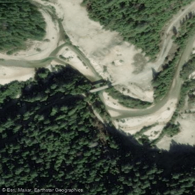
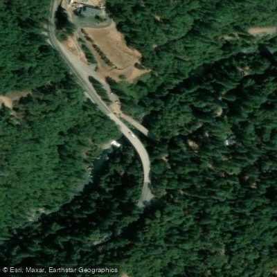
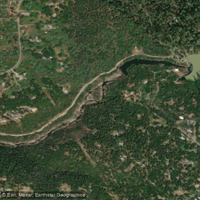
- Bear River Campground Access → Dog Bar Bridge Access
The Bear River originates in the high Sierra Nevada near Bear Valley in Placer County, flowing westward through a dramatic landscape of forested canyons and rolling foothills before joining the Feather River south of Yuba City. This tributary system descends approximately 5,000 feet over its roughly 75-mile course, passing through Nevada, Placer, Sutter, and Yuba counties. The river's character transforms significantly along its journey—from steep, technical whitewater in the upper reaches to gentler Class II flows in the middle sections, eventually becoming a slow-moving agricultural waterway in the Sacramento Valley.
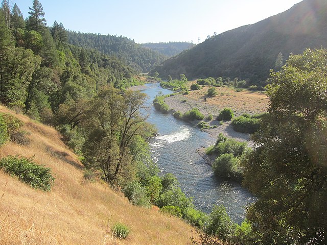
Paddling opportunities on the Bear River vary dramatically by section and season. The Highway 174 Bridge to Lake Combie stretch offers expert-level whitewater (Class IV-V) during spring runoff or fall releases, featuring technical rapids like "Trash Can" and "Spanky and the Gang" through a narrow, sieve-filled canyon. This 11-mile section demands advanced skills and intimate knowledge of lines, particularly at flows above 700 cfs. The Ben Taylor Road to Dog Bar Bridge segment provides more accessible Class II paddling, popular for kayaking instruction, tubing, and family floats during summer months when flows are moderate (typically 200-600 cfs). This stretch passes through Bear River Campground near Colfax, offering convenient access and amenities.
Optimal paddling seasons depend on section and objective. Upper whitewater runs peak during March through May snowmelt or during controlled fall releases from upstream reservoirs. The middle river sections remain navigable through summer, with flows regulated by Nevada Irrigation District facilities including Rollins Lake, Lake Combie, and Camp Far West Reservoir. Winter and early spring bring unpredictable high flows that can render technical sections dangerous.
The river corridor supports diverse Sierra Nevada foothill ecology. Ponderosa pines and Douglas firs dominate higher elevations, transitioning to blue oaks, valley oaks, and gray pines in lower reaches. Riparian zones feature willows, alders, California buckeye, and dense manzanita thickets. Wildlife includes black-tailed deer, black bears, river otters, beavers, and various raptors. The Bear supports populations of rainbow and brown trout in upper sections, with bass and bluegill in reservoirs.
Access points include Highway 174 Bridge, Ben Taylor Road, Bear River Campground (off Milk Ranch Road), Dog Bar Bridge, and various reservoir boat ramps. Colfax serves as the primary gateway town, with Grass Valley and Nevada City nearby. The lower river near Camp Far West Reservoir lies closest to Lincoln and Wheatland.
The watershed bears significant Gold Rush history, with hydraulic mining operations leaving lasting impacts including elevated mercury levels in sediments and fish tissue. Numerous historic mining sites and the remnants of water conveyance systems dot the landscape. Mercury contamination requires catch-and-release fishing practices. The narrow, boulder-choked upper canyon presents serious entrapment hazards, with limited rescue access. Summer afternoon winds on reservoirs can create challenging conditions for paddlers.
Curated routes
Hand-picked by the PaddleWays team, with put-ins, take-outs, paddle times and the hazards along the way.
RouteClass II
RouteClass II
RouteClass IV
RouteClass IV–V
RouteClass II
Hazards
No paddler has reported a hazard here yet, so these are the dams, falls and big rapids on our map. Hazards change with flows and storms, so check them before you launch.
From the community
Nobody has shared a trip on Bear River yet. Paddle it, then tell the next paddler how it went.
See exactly where the public can get on and off the river. Launch points and boat ramps are paired with PaddleWays' public land data so you know where you can legally land.
Public shoreline
22%of the river's shoreline is public
Most of the riverbank is private. Launch, land and camp only at public access points.
Flows, weather and a route-by-route verdict, so you know which stretch of the Bear River is worth paddling today.
Live flows, marked hazards and fresh trip reports from paddlers who were just on the water, all in one place.





Every user gets free access to launch points, boat ramps, and public property parcels.
Loading popular cities...
PaddleWays gives you everything you need to plan smarter, paddle better, and own every trip from first launch to takeout.