Duxbury Reef
- Saltwater
- Bay
Duxbury Reef
- Saltwater
- Bay
- Sq. miles
- 1.5
- Boat Ramps
- 0
- Access Points
- 0
- Campsites
- 5
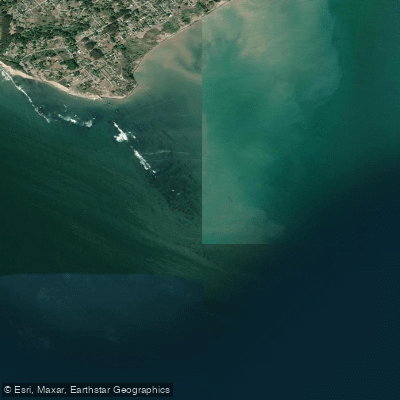
Duxbury Reef is a large, exposed shale reef located off the coast of Bolinas in Marin County, California, within Point Reyes National Seashore. It is the largest shale reef in California, extending over half a mile, or approximately 950 meters, from the main beach in a long, southeast-running rocky outcropping. This significant geographical feature is a State Marine Conservation Area, protecting a biodiverse rocky reef habitat. For paddlers, the reef presents a major navigational feature that requires careful planning and respect. The reef is largely visible only at low tide, which can tempt paddlers to cut corners, but its full extent often stretches much farther south than it initially appears, requiring a wide berth to avoid being pushed by wind and waves onto its barnacle- and kelp-covered rocks. Navigating around the reef involves a delicate dance of tacking out to avoid the rocks but not so far as to overshoot the turn into Bolinas, all while maneuvering through extensive kelp beds. The primary paddling access for this area is from Bolinas, which is a popular spot for kayak surfing, particularly for beginners and intermediates. The waves there work best with a south or westerly swell, as Duxbury Reef screens out steep northern swells. However, a significant hazard exists during ebb tides, when the Bolinas Lagoon can create a very strong current flowing out to sea. Furthermore, at low tide, waves can become dumpy and break in very shallow water over the reef, posing a risk of serious injury from impact. The water is cold year-round, requiring a wetsuit; typical water temperatures are in the mid-60s Fahrenheit (16-17°C). The area is subject to dangerous wave heights, often exceeding two meters, and short, choppy wave periods. Wind conditions can vary from being too light for certain activities to featuring significant gusts. Regulations prohibit the use of any vessel within a quarter mile of the shoreline from Sculpture Beach to Duxbury Reef, as per Point Reyes National Seashore rules. The reef and its surrounding waters are ecologically rich, supporting over 200 marine species, including harbor seals, seabirds, and dense kelp forests, offering a visually striking, though challenging, paddling environment.
Water access, boat ramps & amenities
Learn how to get on Duxbury Reef. Uncover great paddling access points, boat ramps, and all the facilities you need for an unforgettable day on the water. Some locations shown may border or include private property. Always check property boundaries and applicable regulations before visiting. PaddleWays's Public & Private Land layer can help you plan your access with confidence.
Paddle smarter with real-time insights
Whether you're en route and conditions shift or you're looking for the best spot based on current flows, we enable you to make informed decisions on the fly.








Find Places to Paddle

Over 400,000 Places to Paddle
Every user gets free access to launch points, boat ramps, and public property parcels.


Tides, wind & water conditions (10 day forecast)
On open water, wind and tide matter as much as the weather. See the best times to paddle Duxbury Reef and check the marine forecast before you launch.
Loading tide predictions…
Paddling near Duxbury Reef

San Joaquin River

Sacramento River

San Francisco Bay
Russian River
Lagunitas Creek

San Pablo Bay
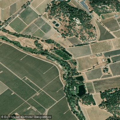
Napa River
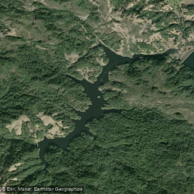
Alpine Lake

Richardson Bay
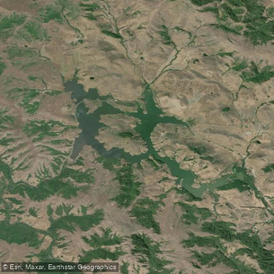
Nicasio Reservoir
Explore California waters
Top paddling waters
Popular Cities
Loading popular cities...
Explore near Duxbury Reef
Access points
Nearby waters
More in California

Smarter Paddling Starts in the App.
Paddleways gives you everything you need to plan smarter, paddle better, and own every trip from first launch to takeout.