Curated by PaddleWays
RouteClass IV
- Distance
- 8.1 mi
- Paddle time
- ~2 hrs
- Put-in → take-out
- Chili Bar Put-in → Henningsen Lotus Park Boat Ramp
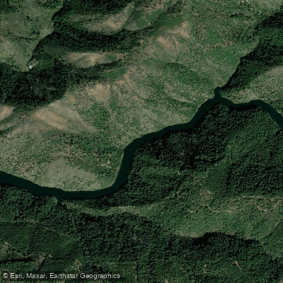
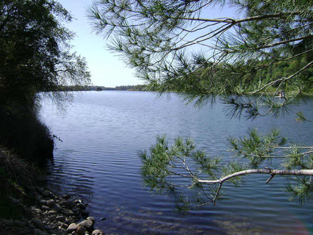
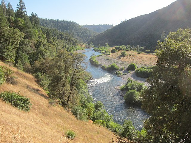
The South Fork American River is a popular whitewater destination located in the Sierra Nevada foothills of California. Originating near Echo Summit, it flows westward for approximately 87 miles before joining the North Fork to form the main stem American River. The river's watershed encompasses about 850 square miles, with major tributaries including Silver Fork, Rock Creek, and Weber Creek. The South Fork offers a variety of paddling opportunities across its length, with the most popular sections being the 21-mile stretch from Chili Bar to Folsom Lake. This run is typically divided into two main sections: the upper Chili Bar Run (10 miles) and the lower Gorge Run (11 miles). The river features primarily Class III rapids, making it suitable for both beginner and intermediate paddlers. Notable rapids include Meatgrinder, Troublemaker, and Satan's Cesspool.
The paddling season generally runs from April through October, with reliable flows due to upstream dam releases. Spring snowmelt can create higher water levels, while summer offers more consistent conditions. The river corridor supports a diverse ecosystem, including oak woodlands, riparian forests, and various wildlife such as river otters, bald eagles, and rainbow trout.
Key landmarks along the South Fork include Marshall Gold Discovery State Historic Park, where gold was first discovered in 1848, sparking the California Gold Rush. The historic town of Coloma, located at the midpoint of the popular rafting run, serves as a hub for river recreation and gold rush history.
Primary access points include Chili Bar (near Placerville), Coloma, and Salmon Falls Bridge. These are well-connected to nearby towns and cities like Auburn, Placerville, and Sacramento, making the South Fork easily accessible for day trips.
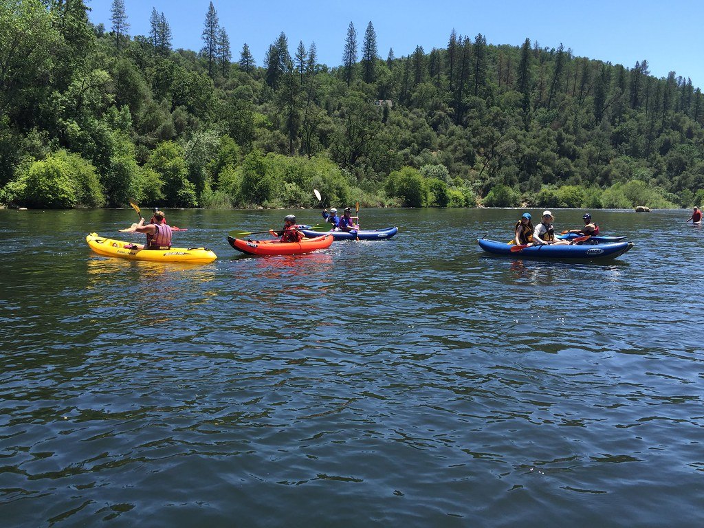
Safety considerations include wearing appropriate personal flotation devices, being aware of water levels, and respecting private property along the riverbanks. Commercial outfitters offer guided trips ranging from family-friendly floats to more adventurous full-day excursions. Multi-day trips are possible by camping at riverside locations like Camp Lotus or utilizing local campgrounds.
The South Fork American River's combination of exciting whitewater, beautiful scenery, rich history, and proximity to urban areas makes it one of the most popular rafting and kayaking destinations in California, attracting thousands of paddlers each year.
Curated routes
Hand-picked by the PaddleWays team, with put-ins, take-outs, paddle times and the hazards along the way.
RouteClass IV
Hazards
No paddler has reported a hazard here yet, so these are the dams, falls and big rapids on our map. Hazards change with flows and storms, so check them before you launch.
From the community
Nobody has shared a trip on South Fork American River yet. Paddle it, then tell the next paddler how it went.
See exactly where the public can get on and off the river. Launch points and boat ramps are paired with PaddleWays' public land data so you know where you can legally land.
Public shoreline
74%of the river's shoreline is public
Flows, weather and a route-by-route verdict, so you know which stretch of the South Fork American River is worth paddling today.
All Flow Stations
Live flows, marked hazards and fresh trip reports from paddlers who were just on the water, all in one place.





Every user gets free access to launch points, boat ramps, and public property parcels.
What you need to float or boat South Fork American River, and when to apply.
Chili Bar Dam to Folsom Lake
Registration · Private trips · Required year-round
Every non-commercial boater from Chili Bar Dam to Folsom Lake needs a free county registration tag from a put-in.
Checked Nov 4, 2026 with El Dorado County
Loading popular cities...
PaddleWays gives you everything you need to plan smarter, paddle better, and own every trip from first launch to takeout.