Mississippi Sound
- Saltwater
- Sound
Mississippi Sound
- Saltwater
- Sound
- Sq. miles
- 839
- Boat Ramps
- 11
- Access Points
- 0
- Campsites
- 8
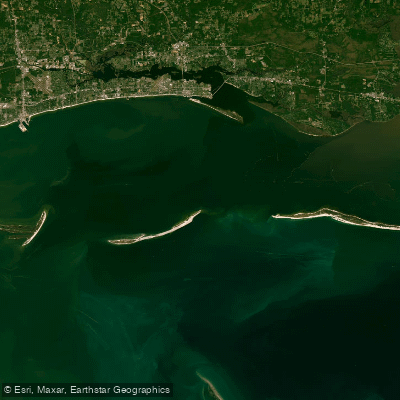
The Mississippi Sound is a sprawling coastal bay system along the Gulf Coast, protected from open ocean swells by barrier islands like Ship and Horn Island. This geography creates generally calm, sheltered conditions ideal for beginner and intermediate paddlers, though the open southern side of islands like Deer Island can experience more wave action. The sound's tidal range is mild, typically 1.5 to 2 feet, which influences current speed primarily in channels and near passes. Wind is the primary variable, and strong onshore winds can quickly create choppy conditions and waves of 1 to 3 feet, even on otherwise calm days; summer thunderstorms can also rapidly change conditions. Paddlers should plan trips with tide tables and wind forecasts in mind.
Several public launch points provide access to the sound. In Biloxi, the Kuhn Street Pier and Biloxi Harbor offer boat ramps with parking, leading to protected, beginner-friendly waters. Another departure point is Fort Maurepas Park in Ocean Springs, featuring parking, restrooms, and a beach carry-down. Bay St. Louis also has a boat launch with amenities like parking and restrooms. These launches facilitate trips to notable features like Deer Island, which lies a short paddle from Biloxi Beach. Circumnavigating Deer Island is a long trip, with the more exposed southern shore offering a taste of open-water paddling and potential rolling waves, while the northern side is more protected. The eastern tip of the island features dynamic water where Biloxi Bay meets the sound, and a trench there can be navigable at high tide. The southeast end of the island is muddy and under restoration, with gnats and an impassable rock wall at the extreme tip, making landing difficult there.
The prime paddling season runs from March through November, with summer water temperatures reaching around 80 degrees by July. The water is typically murky due to freshwater influence, with a bottom of mud and sand, including shallow flats. Wildlife includes various birds, and paddlers may see dolphin sightings on crossings to outer barrier islands like Ship Island, which is accessible via ferry from Gulfport and offers beaches and historic Fort Massachusetts. The overall experience blends easily accessible, calm-water paddling near shore with the potential for more adventurous open-water crossings to barrier islands, all set under expansive coastal skies.
Water access, boat ramps & amenities
Learn how to get on Mississippi Sound. Uncover great paddling access points, boat ramps, and all the facilities you need for an unforgettable day on the water. Some locations shown may border or include private property. Always check property boundaries and applicable regulations before visiting. PaddleWays's Public & Private Land layer can help you plan your access with confidence.
Paddle smarter with real-time insights
Whether you're en route and conditions shift or you're looking for the best spot based on current flows, we enable you to make informed decisions on the fly.








Find Places to Paddle

Over 400,000 Places to Paddle
Every user gets free access to launch points, boat ramps, and public property parcels.


Tides, wind & water conditions (10 day forecast)
On open water, wind and tide matter as much as the weather. See the best times to paddle Mississippi Sound and check the marine forecast before you launch.
Loading tide predictions…
Paddling near Mississippi Sound

Pascagoula River

Pearl River

Biloxi River
Tchoutacabouffa River
Biloxi Bay
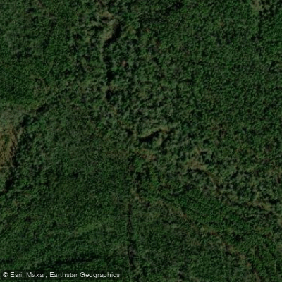
Tuxachanie Creek
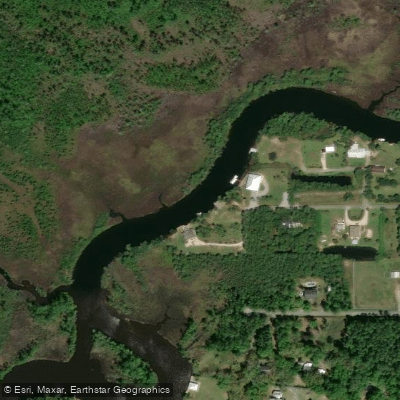
Old Fort Bayou
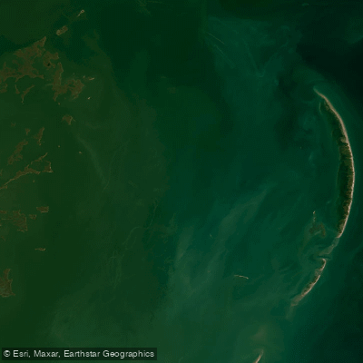
Chandeleur Sound
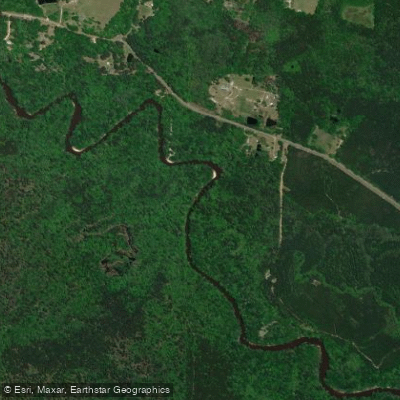
Black Creek
Explore Mississippi waters
Top paddling waters
Popular Cities
Loading popular cities...
Explore near Mississippi Sound
Access points
- Washington St Boat Ramp
- Long Beach Small Craft Harbor Boat Ramp
- Pass Christian Small Craft Harbor #1 Boat Ramp
- Beau Rivage Marina Boat Ramp
- Old Spanish Fort Boat Ramp
- Bayou Cassotte Boat Ramp
- Broadwater Marina Boat Ramp
- Pascagoula River Park Launch Boat Ramp
- Singing River Yacht Club Boat Ramp
- Tucie Boat Ramp
- Cedar Point Boat Ramp
- Mallini Bayou Bridge
- All 97 spots
Nearby waters
More in Mississippi

Smarter Paddling Starts in the App.
Paddleways gives you everything you need to plan smarter, paddle better, and own every trip from first launch to takeout.