Curated by PaddleWays
RouteClass I–II
- Distance
- 2 mi
- Paddle time
- ~0.5 hrs
- Best for
- Beginners, intermediate paddlers
- Put-in → take-out
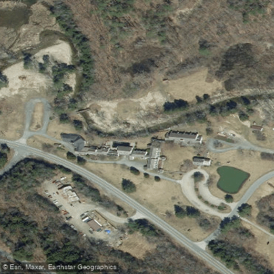
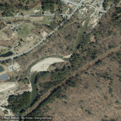
- Perkinsville Route 131 Access → Route 106 Access
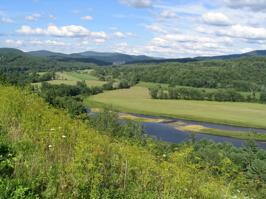
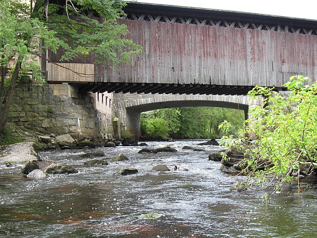
The Black River originates in the Green Mountains at Black Pond in Plymouth, Vermont, flowing approximately 41 miles southeastward through Windsor County before joining the Connecticut River at Hoyt's Landing near Springfield. The river descends through a varied landscape, passing through several natural and man-made lakes including Amherst Lake, Echo Lake, Lake Rescue, and Lake Pauline before reaching the town of Ludlow, home to Okemo Mountain Resort. One of the river's most dramatic features is Cavendish Gorge, where the water tumbles through a narrow, rocky passage before flowing beneath the historic Downers Covered Bridge. Below this point, the North Branch joins the main stem at Weathersfield, where the North Springfield Dam—constructed by the Army Corps of Engineers between 1957 and 1960—provides flood control for downstream communities.
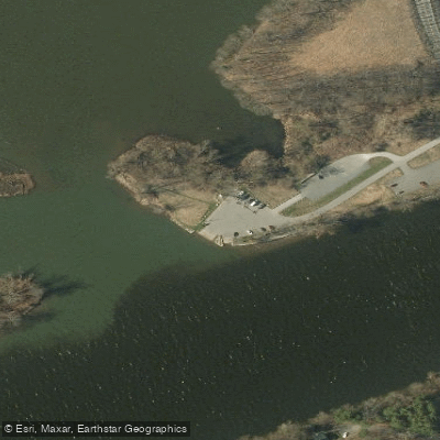
**Paddling Opportunities** The Black River offers multiple paddling sections suitable for different skill levels. The Trophy Trout Section between Howard Hill Road bridge and Downers covered bridge provides approximately four miles of flatwater paddling through designated trout habitat. Downstream, the North Springfield section delivers Class III whitewater when gauge readings reach 9 feet at moderate water levels, offering technical challenges for experienced paddlers. The stretch from North Springfield Lake to Springfield transitions from reservoir paddling to river conditions, while the final segment from Springfield to the Connecticut River confluence at Hoyt's Landing provides accessible flatwater suitable for beginners. Access points include Welcome Park in Springfield and the USACE Recreation Area at North Springfield Lake.
**Seasonal Considerations** Spring runoff typically provides the highest water levels, with April and May offering prime conditions for whitewater sections. The river experienced significant flooding in August 2011, when flows at North Springfield reached 4,340 cubic feet per second. Summer and fall generally present lower, clearer water ideal for the flatwater sections and trout fishing.
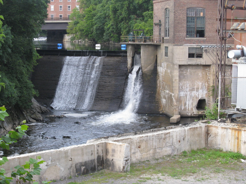
**Historical Significance** Since Springfield's mid-18th century settlement, the Black River has powered numerous industrial mills, particularly near Comtu Falls (officially named Black River Falls) in downtown Springfield. Small hydroelectric dams remain as reminders of this industrial heritage. The devastating flood of November 1927, caused by a late-season tropical storm, destroyed homes and businesses throughout the watershed, leading eventually to the construction of the North Springfield Dam for flood protection. The river's watershed encompasses approximately 202 square miles almost entirely within Windsor County, bounded by the Ottauquechee River to the north and Williams River to the south.
Curated routes
Hand-picked by the PaddleWays team, with put-ins, take-outs, paddle times and the hazards along the way.
RouteClass I–II
RouteClass II
Hazards
No paddler has reported a hazard here yet, so these are the dams, falls and big rapids on our map. Hazards change with flows and storms, so check them before you launch.
From the community
Nobody has shared a trip on Black River yet. Paddle it, then tell the next paddler how it went.
See exactly where the public can get on and off the river. Launch points and boat ramps are paired with PaddleWays' public land data so you know where you can legally land.
Public shoreline
5%of the river's shoreline is public
Most of the riverbank is private. Launch, land and camp only at public access points.
Flows, weather and a route-by-route verdict, so you know which stretch of the Black River is worth paddling today.
Live flows, marked hazards and fresh trip reports from paddlers who were just on the water, all in one place.





Every user gets free access to launch points, boat ramps, and public property parcels.


Loading popular cities...
PaddleWays gives you everything you need to plan smarter, paddle better, and own every trip from first launch to takeout.