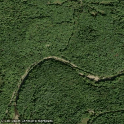
Curated by PaddleWays
RouteClass III–IV
- Distance
- 0.7 mi
- Paddle time
- ~0.5 hrs
- Best for
- Intermediate paddlers, experienced paddlers
- Put-in → take-out
- Vilas Pool Access → Millot Green Access
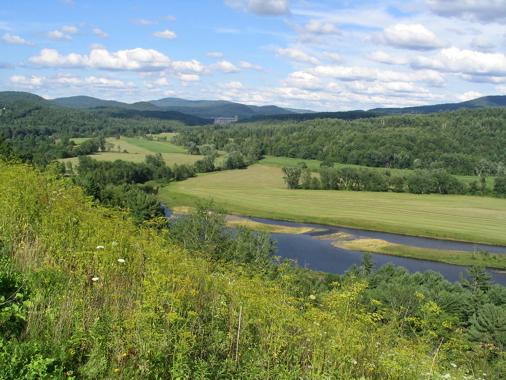
Cold River originates at Crescent Lake in the towns of Unity and Acworth, flowing southward through Sullivan and Cheshire Counties before joining the Connecticut River in Walpole after a 22-mile journey. The river descends 975 feet from its headwaters at 1,211 feet elevation to its confluence at 236 feet, creating a dynamic waterway characterized by varied terrain and gradient changes.
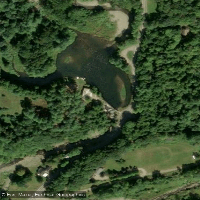
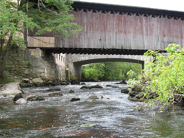
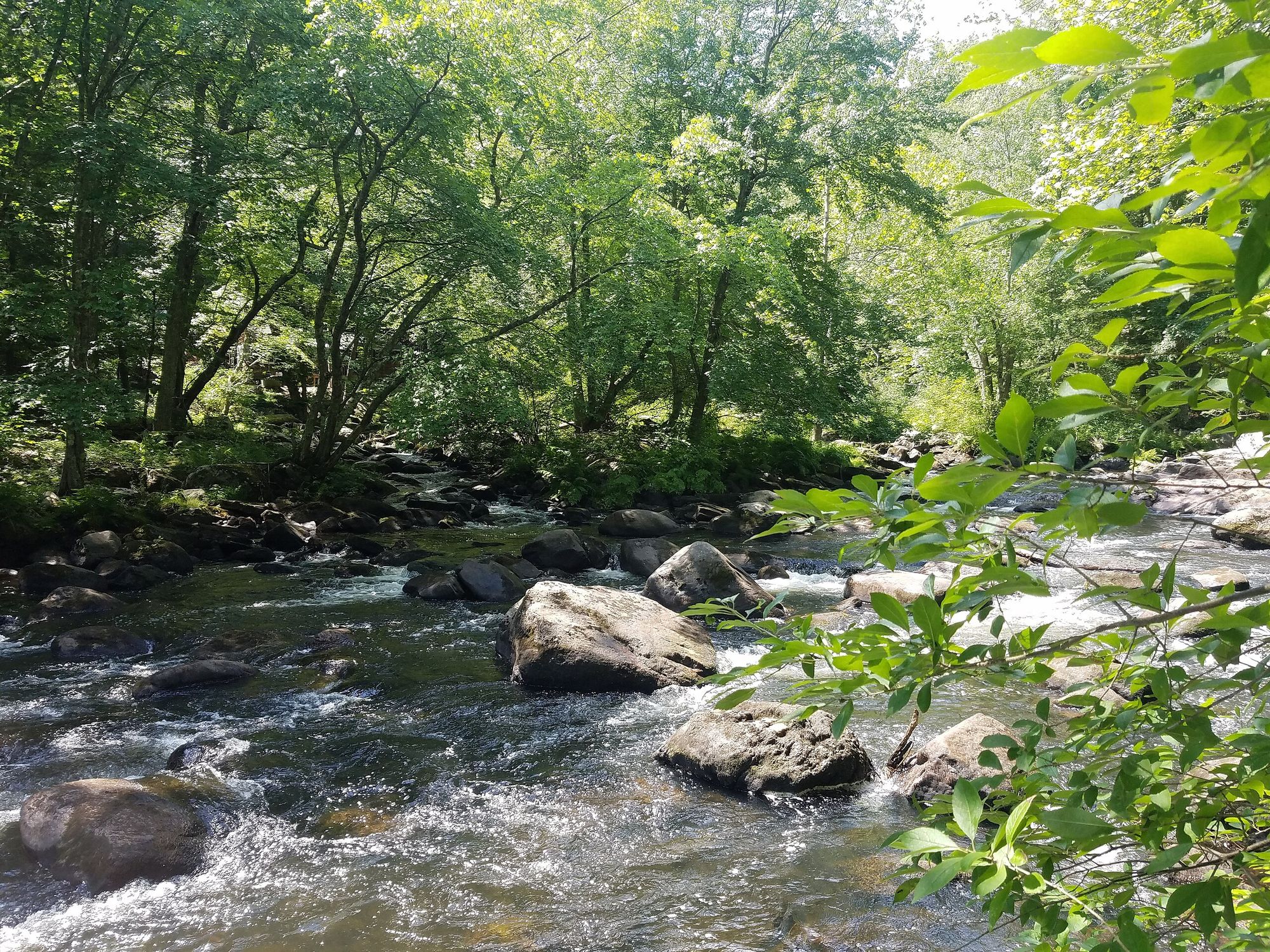
The river's character transforms dramatically along its course. From Crescent Lake, it flows through Keyes Hollow's wetland complex in Acworth and Lempster before entering a narrow valley near South Acworth, where it plunges 60 feet in 0.2 miles over two significant waterfalls, including the formation known as Deep Hole. The river passes beneath the historic McDermott Covered Bridge in Langdon before entering Vilas Pool, a recreational impoundment in Alstead. Downstream, the river navigates spectacular Drewsville Gorge at the Langdon/Walpole boundary—a narrow rock passage featuring a staircase of small waterfalls—before meandering through agricultural bottomlands to the Connecticut River.
Paddling opportunities exist primarily during high water conditions, with the section from Warren Brook junction in Alstead to the Connecticut River offering canoeing and kayaking when flows permit. The river's steep gradient and variable character demand intermediate to advanced skills, with the gorge sections presenting Class III-IV whitewater challenges during appropriate flows. The Vilas Pool section provides more accessible paddling with swimming facilities and boat rentals. Spring runoff and periods following significant rainfall provide optimal paddling conditions, though the October 2005 flood dramatically reshaped portions of the river channel, requiring paddlers to scout unfamiliar sections carefully. Summer flows typically diminish, limiting navigability except in deeper pools.
The watershed supports diverse wildlife including bald eagles, loons, herons, moose, deer, bear, and Atlantic salmon as part of restoration efforts. The river corridor provides critical spawning and rearing habitat for trout and salmon, with both wild brook trout populations and stocked species present.
Historical significance runs deep, with numerous 18th and 19th-century mill sites dotting the river's length—evidence of past textile, lumber, and paper industries. The McDermott Covered Bridge (1869) and Prentiss Covered Bridge provide historic landmarks, while Cockhat Hill near Alstead preserves a buried rock gorge with giant potholes from the river's former channel.
Access points include Vilas Pool recreation area in Alstead, various road crossings along Route 12A, and the confluence area in Walpole. The nearest significant towns are Keene (approximately 15 miles from mid-river sections) and Bellows Falls, Vermont, across the Connecticut River from the mouth.
Paddlers should exercise caution regarding the river's flashy nature during storms, steep gradients in gorge sections, and remnant flood damage. The river falls under New Hampshire's Rivers Management and Protection Program, designated as a "Rural River" from Crescent Lake to lower Langdon and "Community River" through Walpole, providing regulatory protections while maintaining public access.
Curated routes
Hand-picked by the PaddleWays team, with put-ins, take-outs, paddle times and the hazards along the way.
RouteClass III–IV
RouteClass II
RouteClass II
Hazards
No paddler has reported a hazard here yet, so these are the dams, falls and big rapids on our map. Hazards change with flows and storms, so check them before you launch.
From the community
Nobody has shared a trip on Cold River yet. Paddle it, then tell the next paddler how it went.
See exactly where the public can get on and off the river. Launch points and boat ramps are paired with PaddleWays' public land data so you know where you can legally land.
Public shoreline
1%of the river's shoreline is public
Most of the riverbank is private. Launch, land and camp only at public access points.
Flows, weather and a route-by-route verdict, so you know which stretch of the Cold River is worth paddling today.
Live flows, marked hazards and fresh trip reports from paddlers who were just on the water, all in one place.





Every user gets free access to launch points, boat ramps, and public property parcels.


Loading popular cities...
PaddleWays gives you everything you need to plan smarter, paddle better, and own every trip from first launch to takeout.