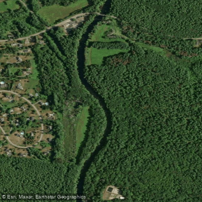
Curated by PaddleWays
RouteFlatwater
- Distance
- 1.6 mi
- Paddle time
- ~0.5 hrs
- Best for
- Beginners
- Put-in → take-out
- Mine Falls Park Access → Main Street Access
The Nashua River, flowing through north-central Massachusetts and southern New Hampshire, offers paddlers a diverse range of experiences from serene flatwater to exciting rapids. This 56-mile waterway begins at the Wachusett Reservoir in Clinton, MA and winds its way northward, eventually joining the Merrimack River in Nashua, NH.
Paddlers can enjoy a variety of sections suited to different skill levels. The upper reaches near Lancaster and Groton provide peaceful flatwater paddling ideal for beginners and families. As the river progresses northward, it offers more challenging sections, including Class II-III rapids near Hollis, NH, appealing to more experienced kayakers and canoeists.
One of the most popular stretches is the Mine Falls Park section in Nashua, NH. This urban paddling experience allows boaters to explore the city's industrial heritage, passing historic mill buildings while enjoying surprisingly tranquil waters. The 2.75-mile one-way trip from the Technology Way boat ramp to downtown Nashua is perfect for an afternoon outing.
For those seeking a longer adventure, the river offers several options for day-long or multi-day trips. The section from Lancaster to Groton provides a scenic 8-10 mile journey through the Massachusetts countryside. More ambitious paddlers can tackle the full 20-mile stretch from Nashua to Lowell, experiencing the river's transition from New Hampshire into Massachusetts.
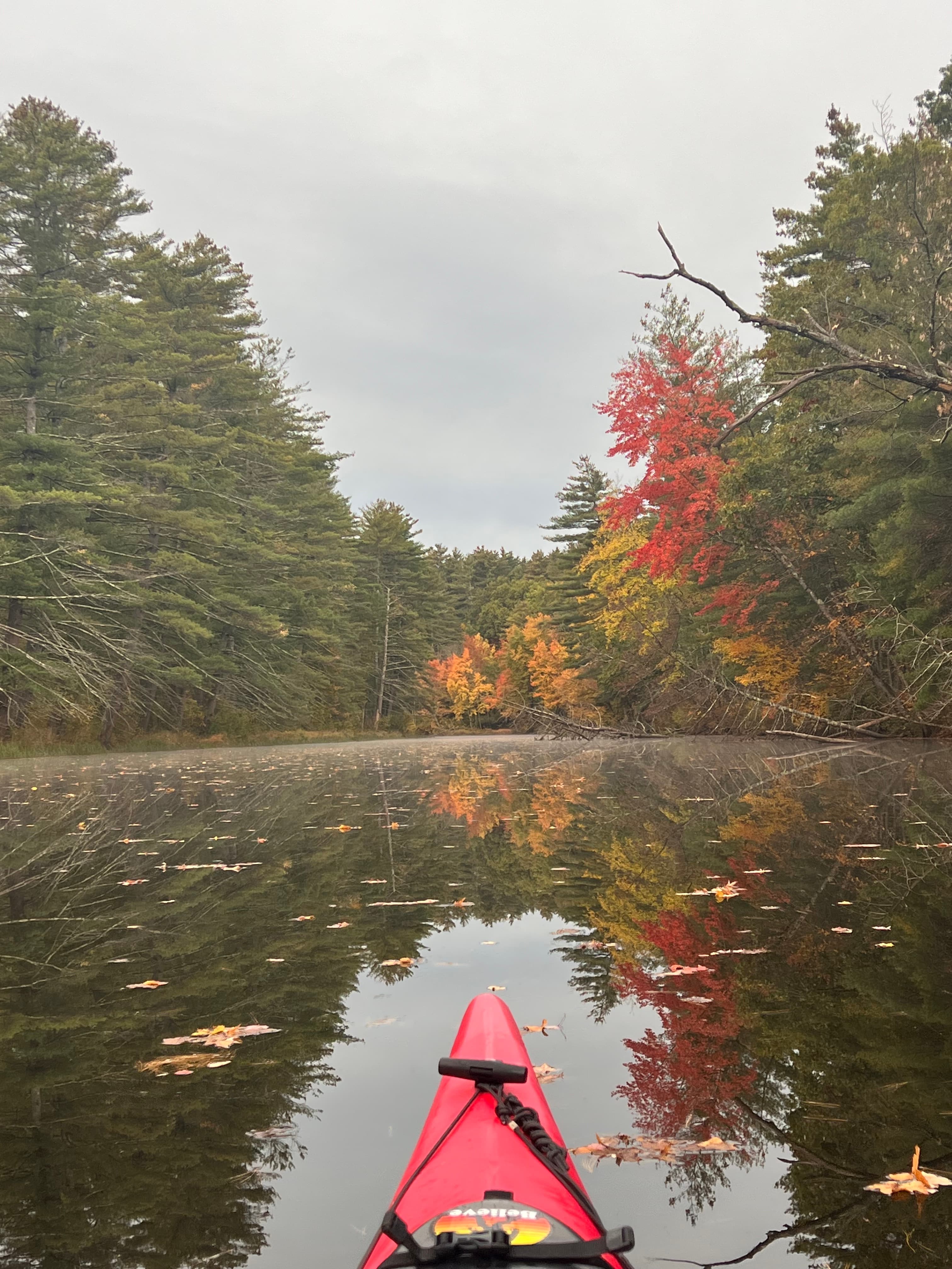
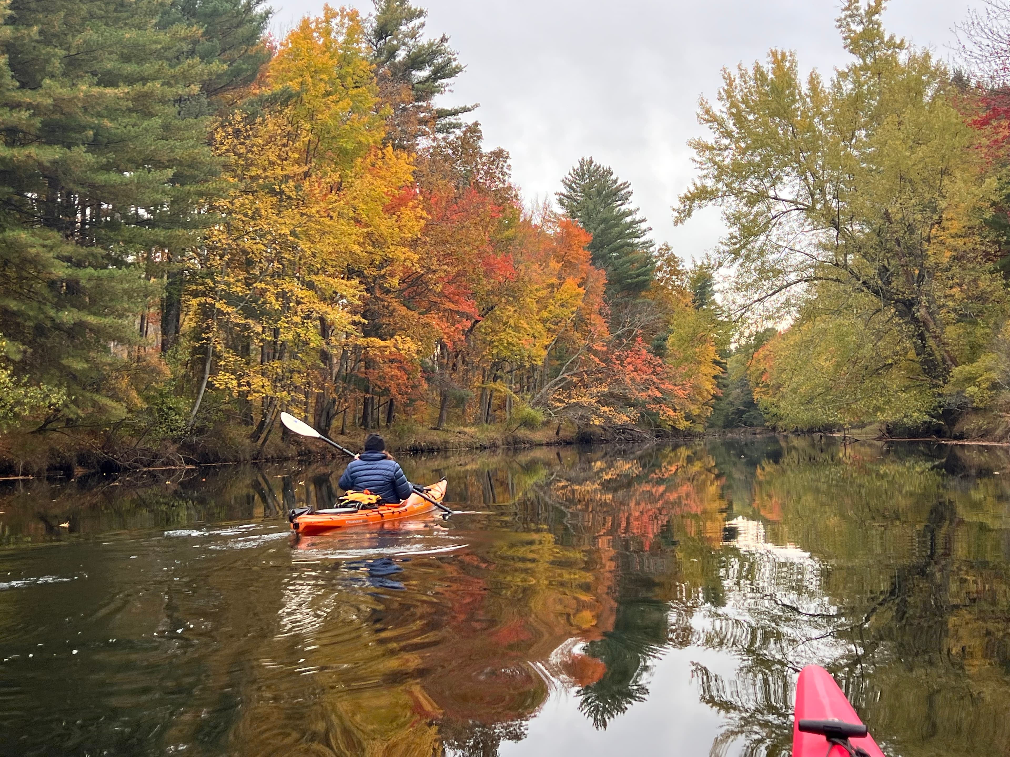
The Nashua River is generally best paddled from late spring through early fall when water levels are optimal. However, some sections like the Oxbow National Wildlife Refuge can be particularly beautiful in autumn, offering spectacular foliage views.
Wildlife enthusiasts will appreciate opportunities to spot various bird species, turtles, and even the occasional beaver or muskrat along the shoreline.
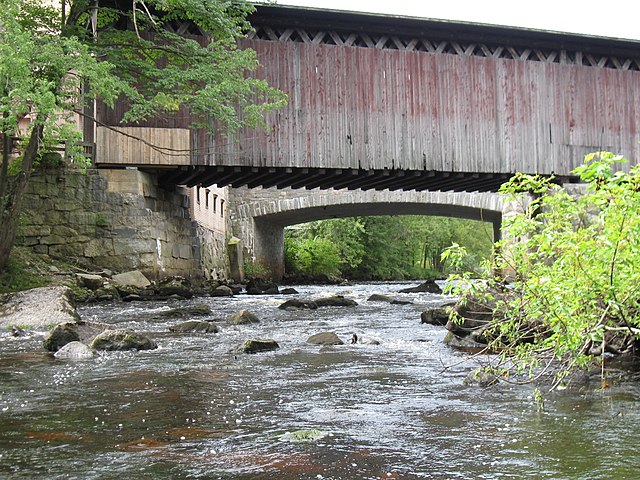
Several notable landmarks punctuate the river's course. The Pepperell Covered Bridge, a picturesque structure rebuilt to honor its historic predecessor, is a favorite photo spot. The confluence of the Nashua and Nissitissit Rivers near Pepperell offers a unique mixing of waters and is rich in Native American history.
Access to the river is plentiful, with numerous put-in and take-out points in towns like Groton, Pepperell, and Nashua. Many of these access points offer amenities such as parking and boat ramps, making logistics easier for paddlers.
The Nashua River holds significant historical and cultural importance. Once heavily polluted by industrial waste, it has undergone a remarkable transformation thanks to conservation efforts led by local advocates like Marion Stoddart. Today, the river stands as a testament to environmental restoration and community action.
Safety considerations include being aware of dam locations, particularly in more developed areas, and checking water levels before paddling. Some sections, like the rapids below the Pepperell Dam, require more skill and should only be attempted by experienced paddlers.
Whether you're looking for a quick afternoon paddle or a multi-day adventure, the Nashua River offers a rich tapestry of experiences. From its peaceful upper reaches to its more challenging lower sections, this river provides a perfect blend of natural beauty and historical significance, making it a true gem for paddlers in New England.
Curated routes
Hand-picked by the PaddleWays team, with put-ins, take-outs, paddle times and the hazards along the way.
RouteFlatwater
RouteFlatwater
RouteClass II–III
RouteFlatwater
RouteFlatwater
RouteClass I–II
Hazards
No paddler has reported a hazard here yet, so these are the dams, falls and big rapids on our map. Hazards change with flows and storms, so check them before you launch.
From the community
Real trips from PaddleWays paddlers: which route they ran, how the flows were, and what to watch for.
Loading trip reports
Chuck L.
Kayak •
9 cfs at Clinton
Chuck L.
4 cfs at Clinton
Chuck L.
18 cfs at Clinton
Nashua River 9/6/2026
Chuck L.
Kayak •
3 cfs at Clinton
Devens launch
Matt R. •
Don’t go on this river! Several downed trees, trash, and other debris blocking flow.
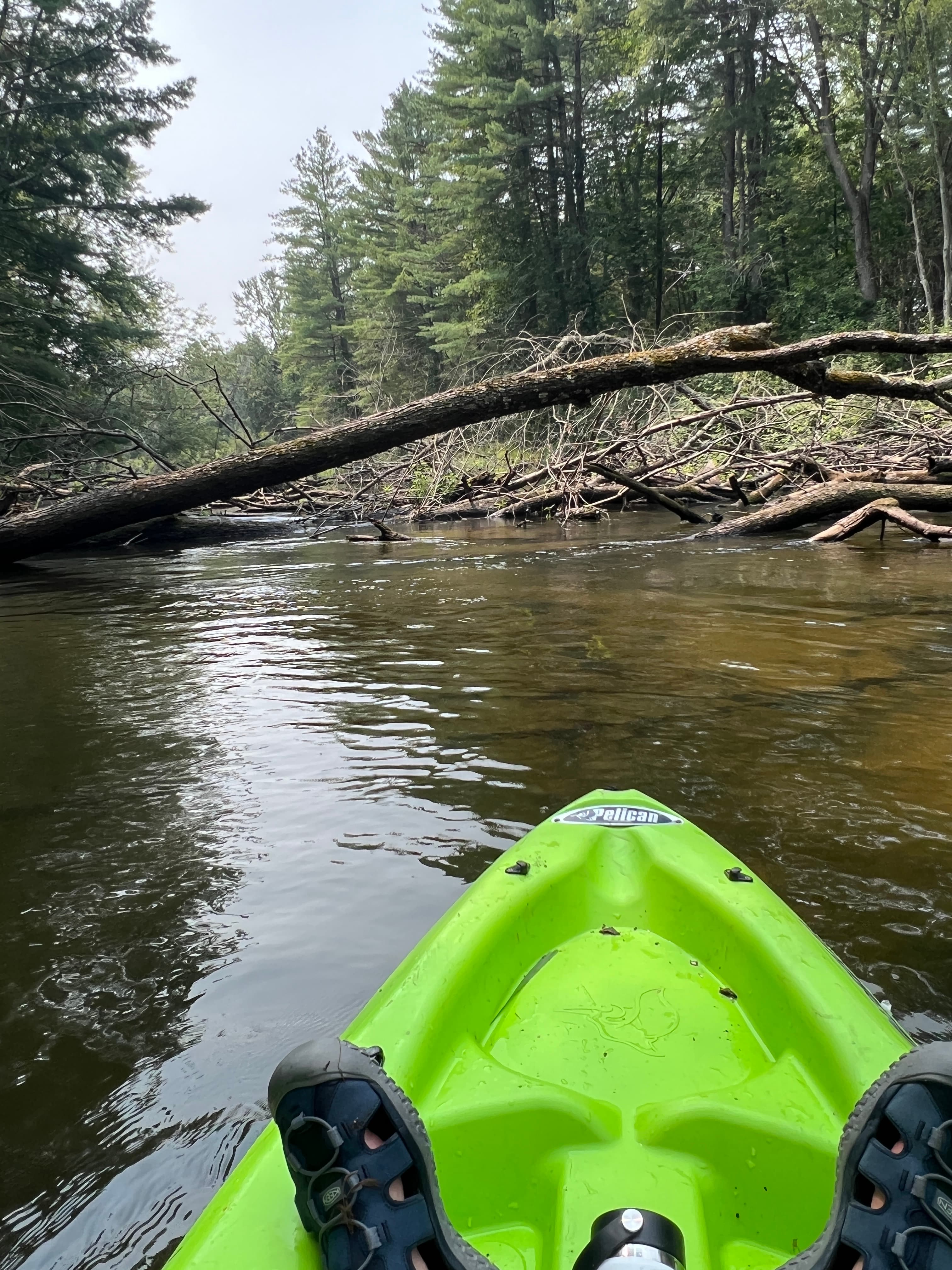
See exactly where the public can get on and off the river. Launch points and boat ramps are paired with PaddleWays' public land data so you know where you can legally land.
Public shoreline
24%of the river's shoreline is public
Most of the riverbank is private. Launch, land and camp only at public access points.
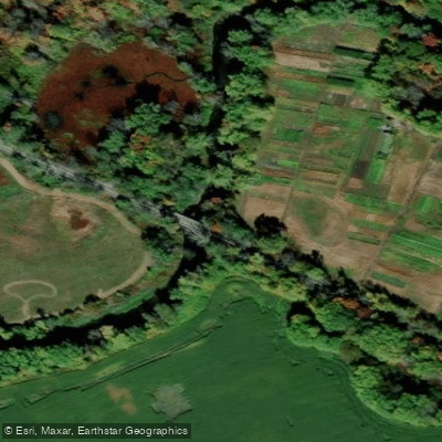
Boat Ramp
Boat Ramp
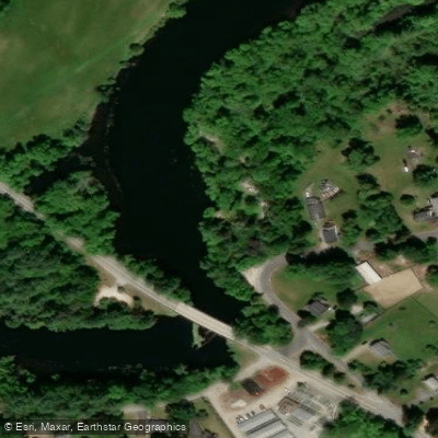
Boat Ramp
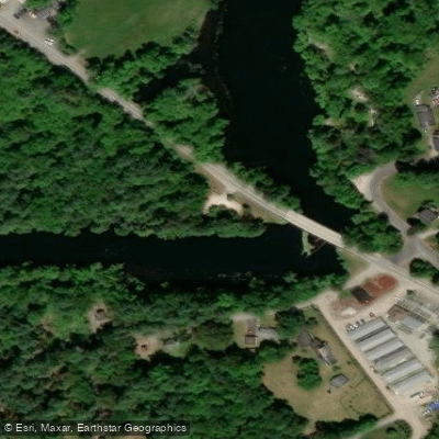
Boat Ramp
Showing 4 of 9 boat ramps.
Flows, weather and a route-by-route verdict, so you know which stretch of the Nashua River is worth paddling today.
All Flow Stations
Live flows, marked hazards and fresh trip reports from paddlers who were just on the water, all in one place.





Every user gets free access to launch points, boat ramps, and public property parcels.

Loading popular cities...
PaddleWays gives you everything you need to plan smarter, paddle better, and own every trip from first launch to takeout.





