Curated by PaddleWays
RouteClass III–V
- Distance
- 3 mi
- Paddle time
- ~1 hr
- Best for
- Kayak
- Put-in → take-out
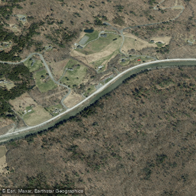
- Rabeck Mountain Road Access → Mission Farm Road Access
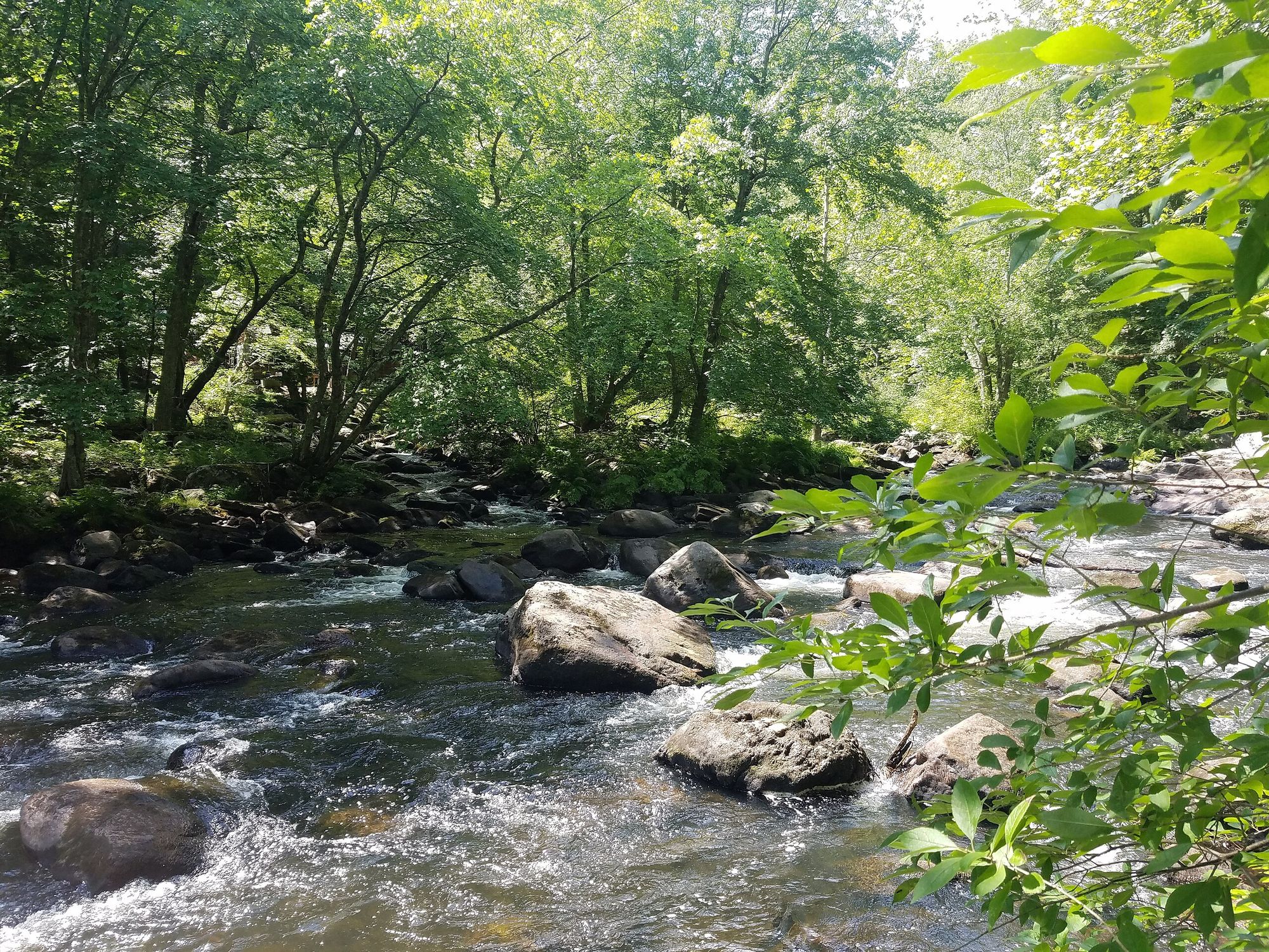
Class III+(V) rapids, potentially dangerous
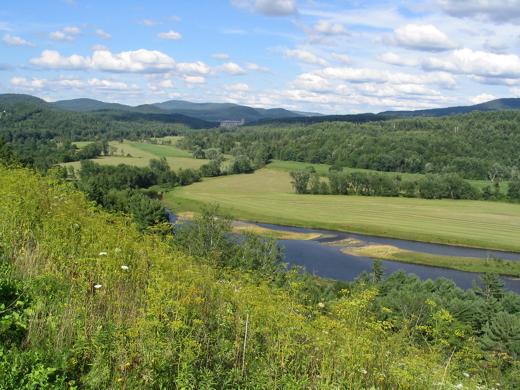
The Ottauquechee River is a 41-mile long waterway in central Vermont, originating in the Green Mountains near Killington and flowing eastward to join the Connecticut River in Hartland. This scenic river carves through picturesque Vermont landscapes, including the famous Quechee Gorge, Vermont's deepest gorge at 165 feet.
Paddling opportunities on the Ottauquechee range from calm flatwater sections to challenging whitewater, accommodating a variety of skill levels. The upper reaches near Killington offer thrilling Class III-IV rapids known as Killington's Little Amazon, suitable only for experienced whitewater kayakers. Downstream, the river mellows into Class I-II waters between Bridgewater and Woodstock, providing enjoyable trips for intermediate paddlers. The lower section from the North Hartland Dam to Quechee Gorge offers a unique flatwater paddling experience. This 8-mile round trip allows paddlers to approach the gorge from below, offering spectacular views of the towering rock walls and Route 4 bridge.
Spring snowmelt typically provides the best whitewater conditions, while summer and fall offer pleasant conditions for flatwater paddling. However, low water levels can be an issue in late summer.
The river corridor supports diverse wildlife, including bald eagles, great blue herons, beavers, and various fish species. Paddlers often encounter extensive wetlands and forested banks teeming with wildlife.
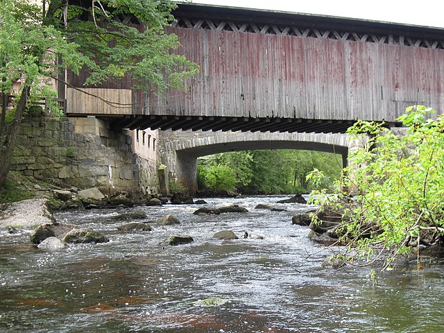
Key landmarks include the Quechee Gorge, the North Hartland Dam, and several historic covered bridges. The river passes through charming Vermont towns like Woodstock, offering opportunities to explore local culture and history.
Popular access points include put-ins near Killington for whitewater, Bridgewater for intermediate paddling, and North Hartland Beach for flatwater trips to Quechee Gorge.
Safety considerations include proper scouting of rapids, especially in the Killington section, and awareness of potential strainers and low-head dams. The quartzite rocks near Quechee Gorge can be extremely slippery, requiring caution and appropriate footwear.
For those seeking a multi-day adventure, it's possible to plan trips combining different sections of the river, with camping options available at designated sites along the way. The Ottauquechee River offers a quintessential Vermont paddling experience, combining natural beauty, varied paddling conditions, and rich cultural history in the heart of the Green Mountain State.
Curated routes
Hand-picked by the PaddleWays team, with put-ins, take-outs, paddle times and the hazards along the way.
RouteClass III–V
RouteClass I–II
RouteClass I–II
Hazards
No paddler has reported a hazard here yet, so these are the dams, falls and big rapids on our map. Hazards change with flows and storms, so check them before you launch.
From the community
Nobody has shared a trip on Ottauquechee River yet. Paddle it, then tell the next paddler how it went.
See exactly where the public can get on and off the river. Launch points and boat ramps are paired with PaddleWays' public land data so you know where you can legally land.
Public shoreline
15%of the river's shoreline is public
Most of the riverbank is private. Launch, land and camp only at public access points.
Flows, weather and a route-by-route verdict, so you know which stretch of the Ottauquechee River is worth paddling today.
All Flow Stations
Live flows, marked hazards and fresh trip reports from paddlers who were just on the water, all in one place.





Every user gets free access to launch points, boat ramps, and public property parcels.


Loading popular cities...
PaddleWays gives you everything you need to plan smarter, paddle better, and own every trip from first launch to takeout.