Richmond City Canal
- Saltwater
- Sea area
Richmond City Canal
- Saltwater
- Sea area
- Sq. miles
- 0
- Boat Ramps
- 0
- Access Points
- 0
- Campsites
- 0
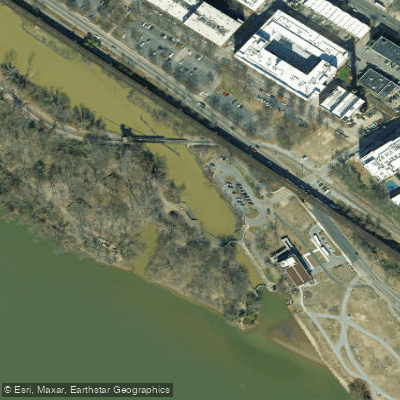
The Richmond City Canal is a short, historic canal in Richmond, Virginia that connects to the James River at Great Shiplock Park. This urban waterway is characterized by its industrial past and present-day integration with city parks and trails. The primary and most notable access point for paddlers is at Great Shiplock Park, which serves as the northern trailhead for the Virginia Capital Trail and features a free public parking lot. From this park, paddlers can launch into the canal or directly into the adjacent James River. The canal is crossed by several bridges, including a metal footbridge providing access to the natural paths on Chapel Island. As a tidal feature connected to the James River, the canal is subject to the river's tidal influence, meaning water levels and current direction will change throughout the day. Paddlers must plan their trips around the tide, especially when entering or exiting the James River, where stronger currents and potential boat traffic are present. The canal itself is narrow and runs through the Shockoe Bottom area, passing under elevated rail trestles that are still active, as evidenced by train traffic. The surrounding area is a mix of historic infrastructure, modern city towers, and green spaces, offering an urban paddling experience with views of converted industrial buildings and city life. The water body is part of the larger James River and Kanawha Canal system and holds historical significance for Richmond's early industry and transportation. General Virginia fishing regulations apply year-round in these state waters. The experience is best suited for paddlers comfortable navigating in an urban, tidal environment with active railroad and potential road bridge crossings.
Water access, boat ramps & amenities
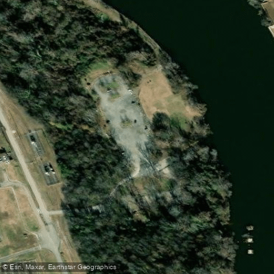
Learn how to get on Richmond City Canal. Uncover great paddling access points, boat ramps, and all the facilities you need for an unforgettable day on the water. Some locations shown may border or include private property. Always check property boundaries and applicable regulations before visiting. PaddleWays's Public & Private Land layer can help you plan your access with confidence.
Paddle smarter with real-time insights
Whether you're en route and conditions shift or you're looking for the best spot based on current flows, we enable you to make informed decisions on the fly.








Find Places to Paddle

Over 400,000 Places to Paddle
Every user gets free access to launch points, boat ramps, and public property parcels.


Tides, wind & water conditions (10 day forecast)
On open water, wind and tide matter as much as the weather. See the best times to paddle Richmond City Canal and check the marine forecast before you launch.
Loading tide predictions…
Paddling near Richmond City Canal

James River
Lake Anna
Appomattox River
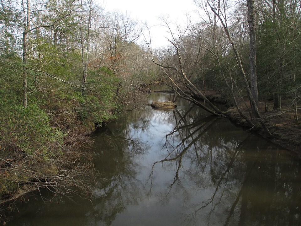
Mattaponi River
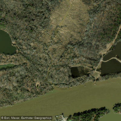
Cornelius Creek

Rappahannock River
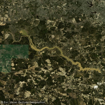
Lake Chesdin
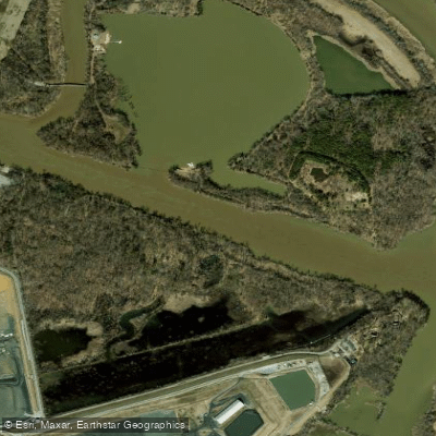
Dutch Gap Cutoff
Chickahominy River
Explore Virginia waters
Top paddling waters
Popular Cities
Loading popular cities...
Explore near Richmond City Canal

Smarter Paddling Starts in the App.
Paddleways gives you everything you need to plan smarter, paddle better, and own every trip from first launch to takeout.