Dutch Gap Cutoff
- Saltwater
- Sea area
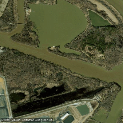
Dutch Gap Cutoff
- Saltwater
- Sea area
- Sq. miles
- 0.1
- Boat Ramps
- 1
- Access Points
- 0
- Campsites
- 1
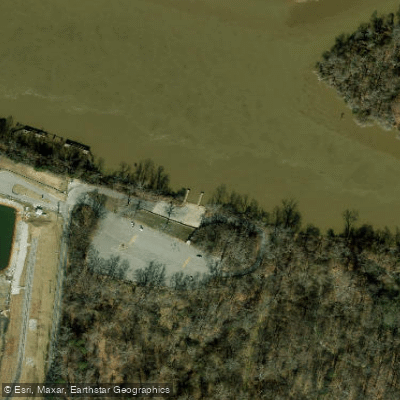
Dutch Gap Cutoff is a coastal waterway forming part of the Aiken Swamp-Dutch Gap Cutoff system in Virginia. It is a tidal, saltwater feature directly connected to the James River. The primary access point for paddlers is the Dutch Gap Boat Launch, which provides parking and a dock. This launch serves as a practical put-in for exploring the interconnected channels and marshes. The paddling experience here is characterized by braided channels winding through swamp and marshland, offering a sheltered environment compared to the open river. The area has historical significance, referenced on early maps and in records related to Captain John Smith's explorations.
As a tidal cutoff, paddling conditions are governed by the tides of the James River. Paddlers must plan their trips around the tidal cycle, aiming to paddle against the incoming tide at the start of a journey to have an easier return with the outgoing tide, or vice-versa. The specific timing requires consulting local tide charts for the James River near Dutch Gap. The connection to the James River also means paddlers may encounter motorized boat traffic, particularly near the confluence, and should exercise caution when crossing or navigating near the main channel. The marsh channels provide some protection from wind and wave fetch. The water is brackish to salt, influenced by the tidal flow from the Chesapeake Bay system. Wildlife typical of Virginian tidal marshes can be observed. Facilities at the launch are basic, consisting of the ramp, dock, and parking area.
Water access, boat ramps & amenities
Learn how to get on Dutch Gap Cutoff. Uncover great paddling access points, boat ramps, and all the facilities you need for an unforgettable day on the water. Some locations shown may border or include private property. Always check property boundaries and applicable regulations before visiting. PaddleWays's Public & Private Land layer can help you plan your access with confidence.
Paddle smarter with real-time insights
Whether you're en route and conditions shift or you're looking for the best spot based on current flows, we enable you to make informed decisions on the fly.








Find Places to Paddle

Over 400,000 Places to Paddle
Every user gets free access to launch points, boat ramps, and public property parcels.


Tides, wind & water conditions (10 day forecast)
On open water, wind and tide matter as much as the weather. See the best times to paddle Dutch Gap Cutoff and check the marine forecast before you launch.
Loading tide predictions…
Paddling near Dutch Gap Cutoff

James River
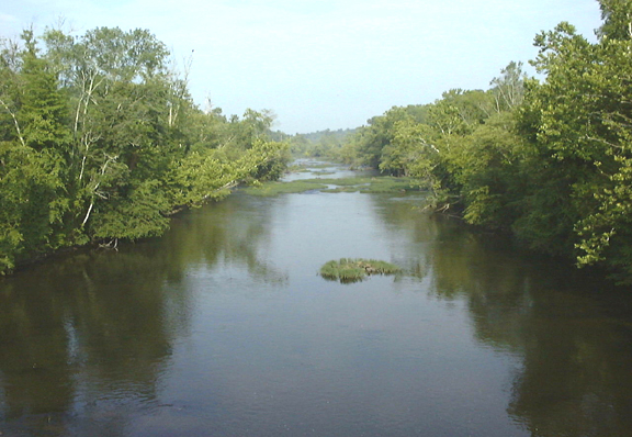
Appomattox River
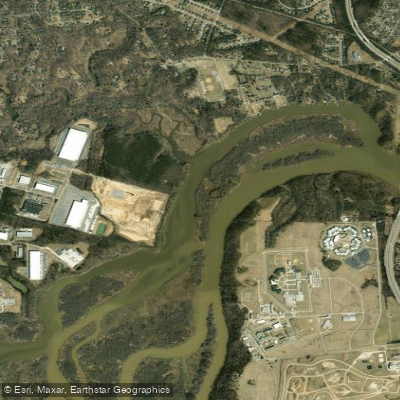
Port Walthall Channel
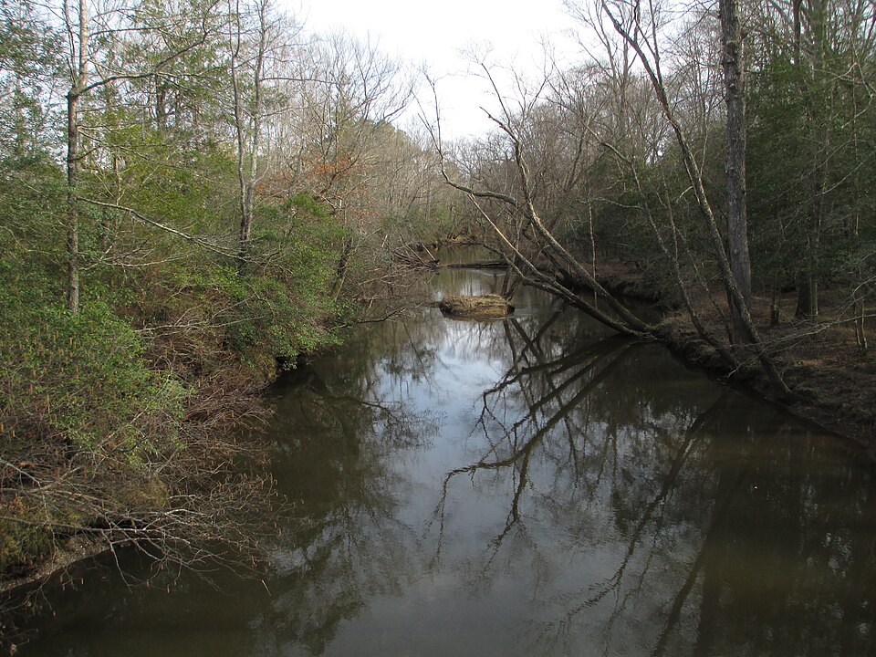
Mattaponi River
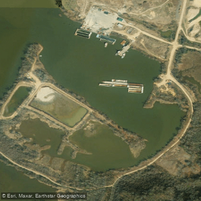
Shirley Hole

Rappahannock River
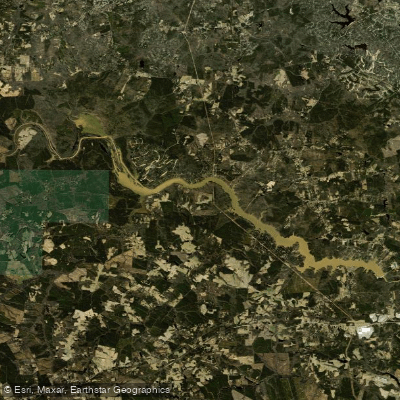
Lake Chesdin
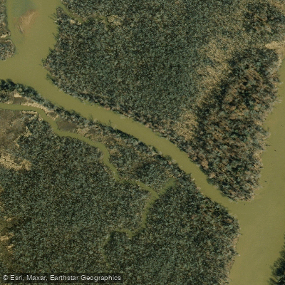
Pye Alley
Nottoway River
Explore Virginia waters
Top paddling waters
Popular Cities
Loading popular cities...
Explore near Dutch Gap Cutoff

Smarter Paddling Starts in the App.
Paddleways gives you everything you need to plan smarter, paddle better, and own every trip from first launch to takeout.