Lake Monticello
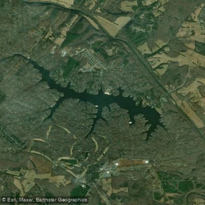
Lake Monticello
- Boat Ramps
- 0
- Access Points
- 0
- Campsites
- 0
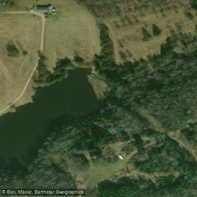
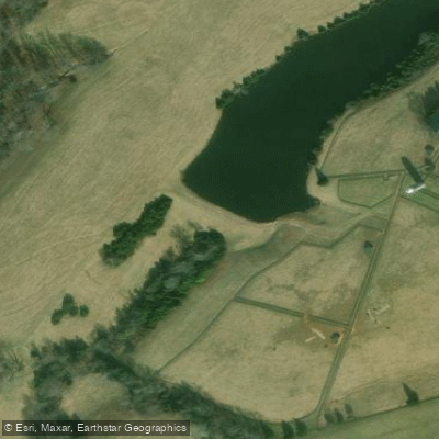
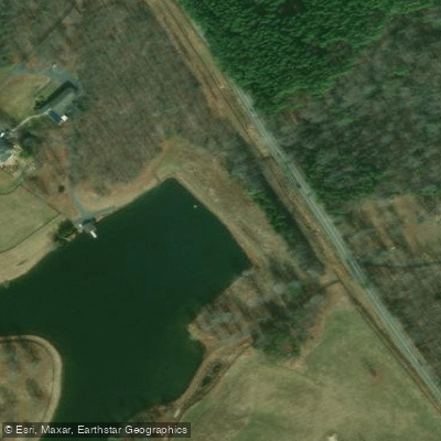
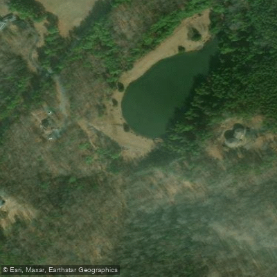
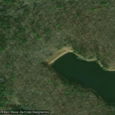
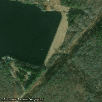
Lake Monticello is a private, gated community lake in Fluvanna County, Virginia that requires advance permission for access. The lake offers several boat launches, including a well-developed facility at the "99 Boat Ramp" on the upper end featuring two ramps, picnic areas, and ample parking.
The lake has exceptionally clear water but experiences fluctuating water levels due to its role as a pumped storage facility for the adjacent power station. Water levels can vary by up to 5 feet, requiring paddlers to watch for submerged hazards like stumps and rocks, particularly during low water periods.
DNR maintains a natural buffer zone around much of the lake and restricts the number of docks, preserving a relatively undeveloped shoreline. The lake prohibits water skiing and jet skis, making it particularly suitable for paddling. The upper reaches feature tree-lined coves and scenic shoreline, while the main body of water can become choppy from wind and fishing boat traffic.
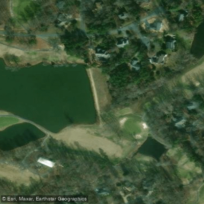
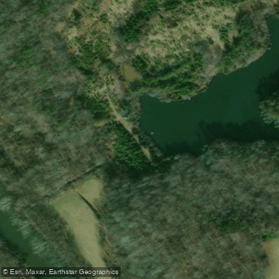
Notable features include several islands with beaches, numerous quiet coves for exploration, and abundant wildlife including kingfishers, herons, osprey, and bald eagles. The lake's eastern shore transitions to farmland, offering varied scenery. A smaller recreation lake connects to the main body via a causeway.
Facilities for paddlers include: - Multiple boat launches - Picnic areas - Parking at launch sites - Primitive camping areas at some access points
The lake's character changes from protected coves in the upper reaches to more open water near the power plant. Paddlers should be prepared for potentially choppy conditions when crossing open sections, particularly when fishing boats are active.
Note: As this is a private lake, visitors must arrange access through the Lake Monticello Owners' Association before planning any paddling activities.
Water access, boat ramps & amenities
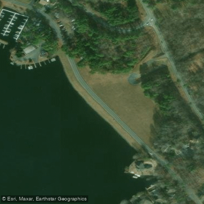
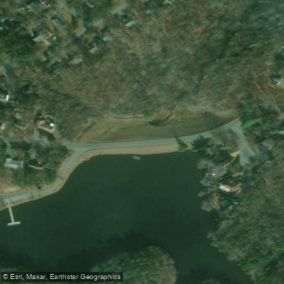
Learn how to get on Lake Monticello. Uncover great paddling access points, boat ramps, and all the facilities you need for an unforgettable day on the water. Some locations shown may border or include private property. Always check property boundaries and applicable regulations before visiting. PaddleWays's Public & Private Land layer can help you plan your access with confidence.
Paddle smarter with real-time insights
Whether you're en route and conditions shift or you're looking for the best spot based on current flows, we enable you to make informed decisions on the fly.








Find Places to Paddle

Over 400,000 Places to Paddle
Every user gets free access to launch points, boat ramps, and public property parcels.


Water and weather conditions (10 day forecast)
See the best times to paddle Lake Monticello and check the forecast before you go.
No forecast data available.
Paddling near Lake Monticello

James River
Lake Anna
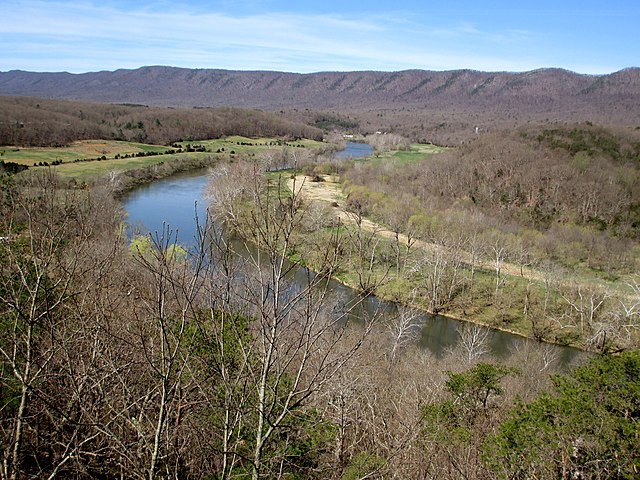
South Fork Shenandoah River

Rappahannock River
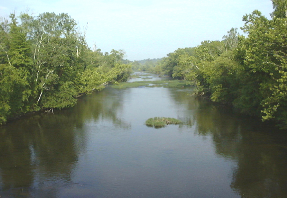
Appomattox River
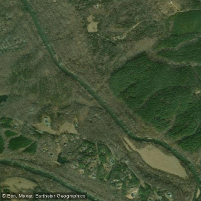
Rivanna River
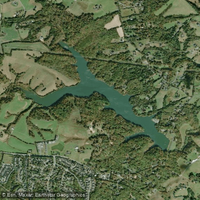
Beaver Creek Reservoir
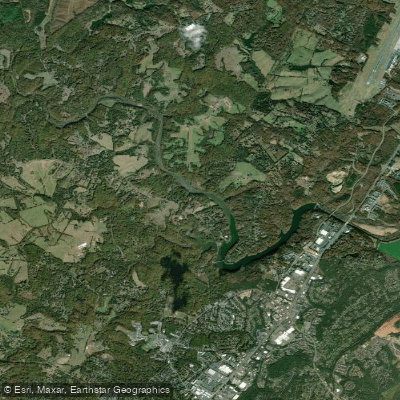
South Fork Rivanna River Reservoir
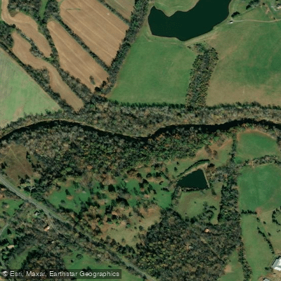
Rapidan River
Explore Virginia waters
Top paddling waters
Popular Cities
Loading popular cities...
Explore near Lake Monticello

Smarter Paddling Starts in the App.
Paddleways gives you everything you need to plan smarter, paddle better, and own every trip from first launch to takeout.