Pocomoke River
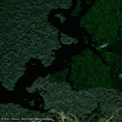
Pocomoke River
- Boat Ramps
- 7
- Access Points
- 8
- Campsites
- 4
The Pocomoke River, a scenic waterway winding through Maryland's Eastern Shore, offers paddlers a unique and diverse experience. Stretching approximately 73 miles from its headwaters to the Chesapeake Bay, this blackwater river is known for its dark, tea-colored waters and lush surrounding forests.
The river's most popular paddling sections are concentrated in the upper and middle reaches, particularly between Snow Hill and Pocomoke City. The stretch from Porter's Crossing to Snow Hill is a prime 4-5 mile route, featuring a gradually widening river flanked by pristine woodlands. This section, along with others nearby, is well-maintained by local outfitters, making it ideal for paddlers of all skill levels.
The Pocomoke is primarily a flatwater river, with some tidal influence in its lower sections. This makes it suitable for beginners and families, while still offering enough variety to keep experienced paddlers engaged. The river's gentle current and numerous access points allow for easy day trips or more extended multi-day adventures.
Spring and fall are the best seasons for paddling the Pocomoke, offering comfortable temperatures and stunning foliage. Summer can be enjoyable as well, with the dense tree canopy providing ample shade along many sections. Winter paddling is possible but requires more preparation due to colder temperatures.
One of the Pocomoke's most distinctive features is its cypress swamps, which represent the northernmost natural stands of bald cypress trees on the Atlantic coast. These ancient trees, with their knobby "knees" protruding from the water, create a mystical, primeval atmosphere.
Wildlife is abundant, with paddlers likely to encounter various bird species, turtles, and occasionally river otters or beavers. Notable paddling routes include the Corkers Creek Loop in Pocomoke River State Park, a scenic 3.3-mile journey through a blackwater ecosystem. The Nassawango Creek, a tributary of the Pocomoke, offers another popular paddling destination, with its hardwood forests coming right to the water's edge.
Key access points and nearby towns include Snow Hill, home to the Pocomoke River Canoe Company, which offers rentals and shuttle services. Pocomoke City and the Pocomoke River State Park (with its Shad Landing and Milburn Landing areas) also provide excellent launch sites and facilities for paddlers.
The river holds significant historical and cultural importance, having been a vital transportation route for indigenous peoples and early European settlers. Today, it continues to play a crucial role in the region's ecology and economy, supporting diverse wildlife and attracting nature enthusiasts from across the Mid-Atlantic.
Safety considerations include being aware of tidal influences in the lower sections, watching for submerged logs or branches, and respecting private property along the shoreline. As always, wearing a personal flotation device is essential.
For those seeking a multi-day adventure, a popular option is to paddle from Snow Hill to Pocomoke City, camping at designated sites along the way. This trip typically takes 2-3 days and allows paddlers to fully immerse themselves in the river's changing landscapes and ecosystems.
The Pocomoke River offers a paddling experience that combines natural beauty, rich history, and accessible adventure, making it a true gem of Maryland's Eastern Shore.
Water access, boat ramps & amenities
Learn how to get on Pocomoke River. Uncover great paddling access points, boat ramps, and all the facilities you need for an unforgettable day on the water. Some locations shown may border or include private property. Always check property boundaries and applicable regulations before visiting. PaddleWays's Public & Private Land layer can help you plan your access with confidence.
Paddle smarter with real-time insights
Whether you're en route and conditions shift or you're looking for the best spot based on current flows, we enable you to make informed decisions on the fly.








Find Places to Paddle

Over 400,000 Places to Paddle
Every user gets free access to launch points, boat ramps, and public property parcels.


Water and weather conditions (10 day forecast)
See the best times to paddle Pocomoke River and check the forecast before you go.
POCOMOKE RIVER NEAR WILLARDS, MD
Paddling near Pocomoke River

Delaware River
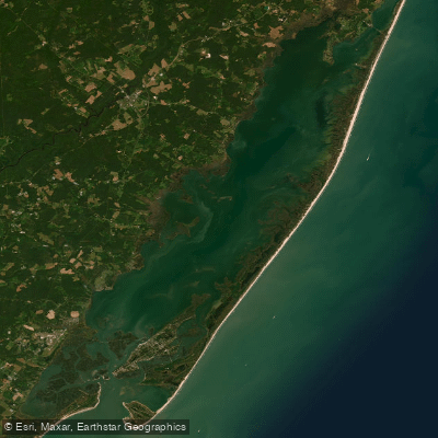
Chincoteague Bay
Manokin River
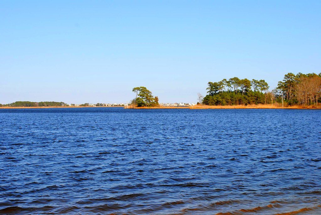
Assawoman Bay
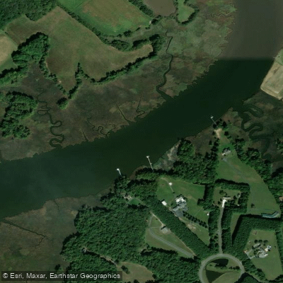
Wicomico River
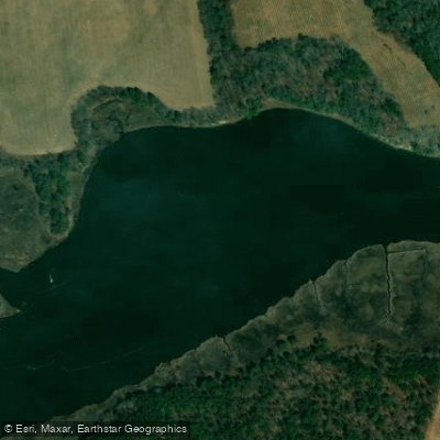
Indian River
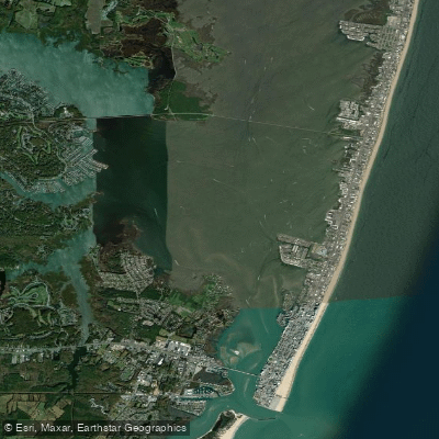
Isle of Wight Bay
Nanticoke River
Explore Virginia waters
Top paddling waters
Popular Cities
Loading popular cities...
Explore near Pocomoke River
Access points
- Taylors Island Boat Ramp
- Bryantown Landing Boat Ramp
- Ingleside Recreation Area Boat Ramp
- Pocomoke State Forest Mattaponi Creek Boat Ramp
- Spriggs Farm Park Boat Ramp
- Point Lookout State Park Swimming Beach Boat Ramp
- Newtowne Neck State Park Boat Ramp
- Porters Crossing Road Bridge Access
- Pocomoke River Bridge
- Pocomoke River Bridge
- Pocomoke River Bridge
- Pocomoke River Bridge
- All 75 spots
Nearby waters
More in Virginia

Smarter Paddling Starts in the App.
Paddleways gives you everything you need to plan smarter, paddle better, and own every trip from first launch to takeout.