Curated by PaddleWays
RouteFlatwater
- Distance
- 2.7 mi
- Paddle time
- ~1 hr
- Put-in & take-out
- Jamestown Road Boat Ramp
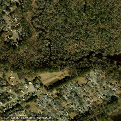
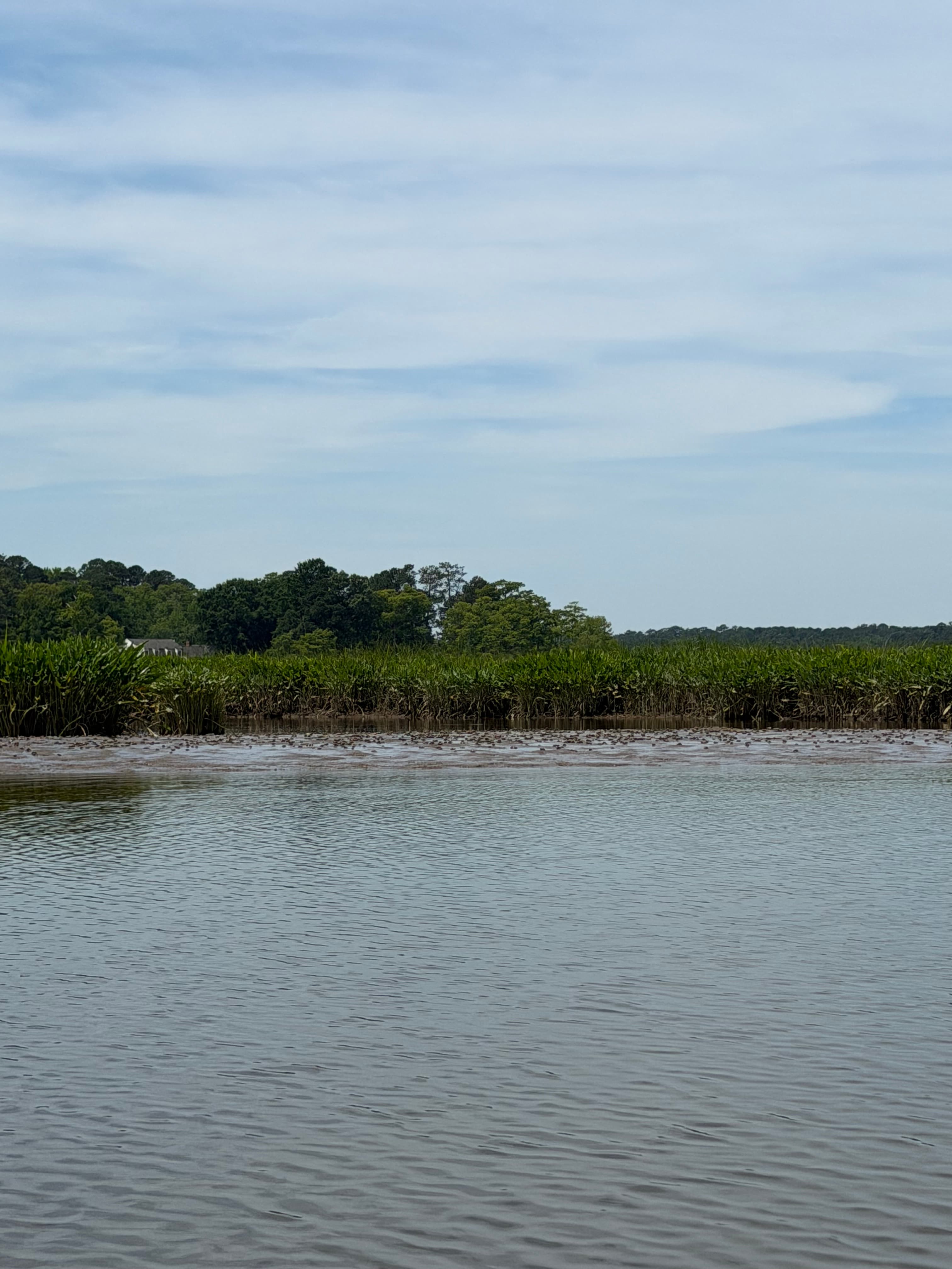
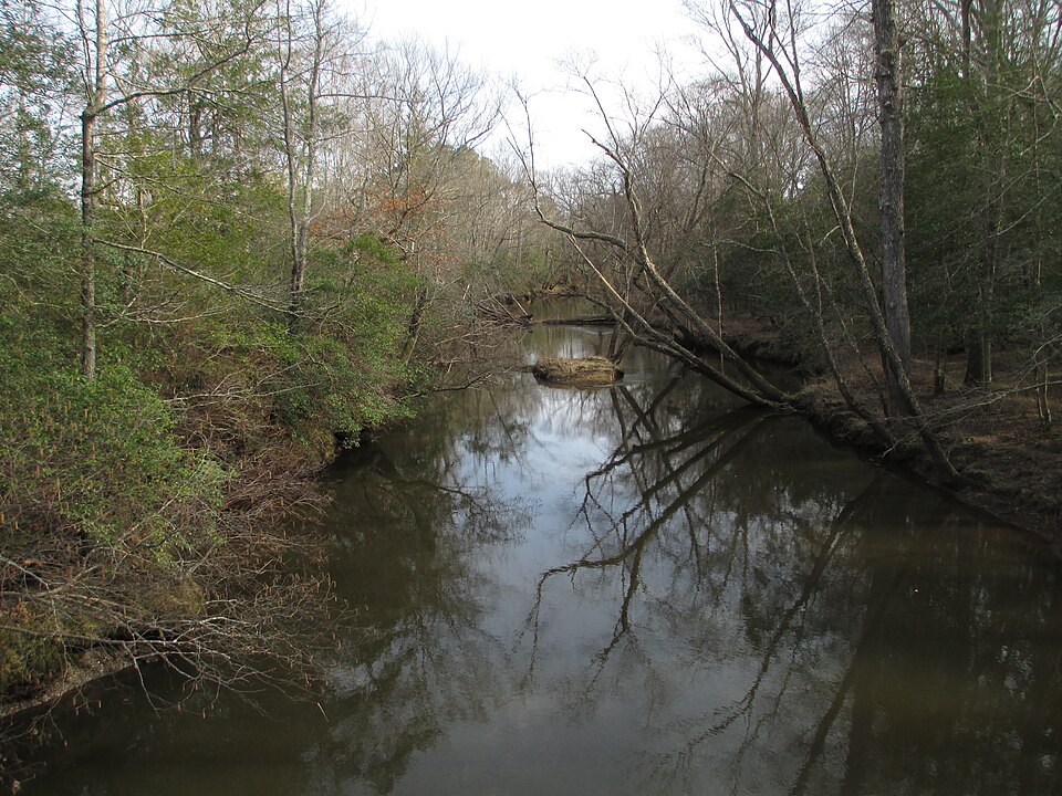
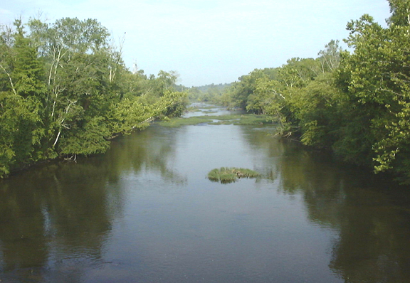
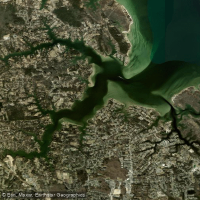
Powhatan Creek flows for 23 miles through the Virginia Peninsula before joining the James River at historic Jamestown Island, positioned between the York and James Rivers in one of the most environmentally and historically significant corridors in the state. The creek is tidal for approximately 4 miles upstream from its confluence with the James, averaging 6 feet deep at high tide, creating excellent conditions for flatwater paddling throughout this lower section.
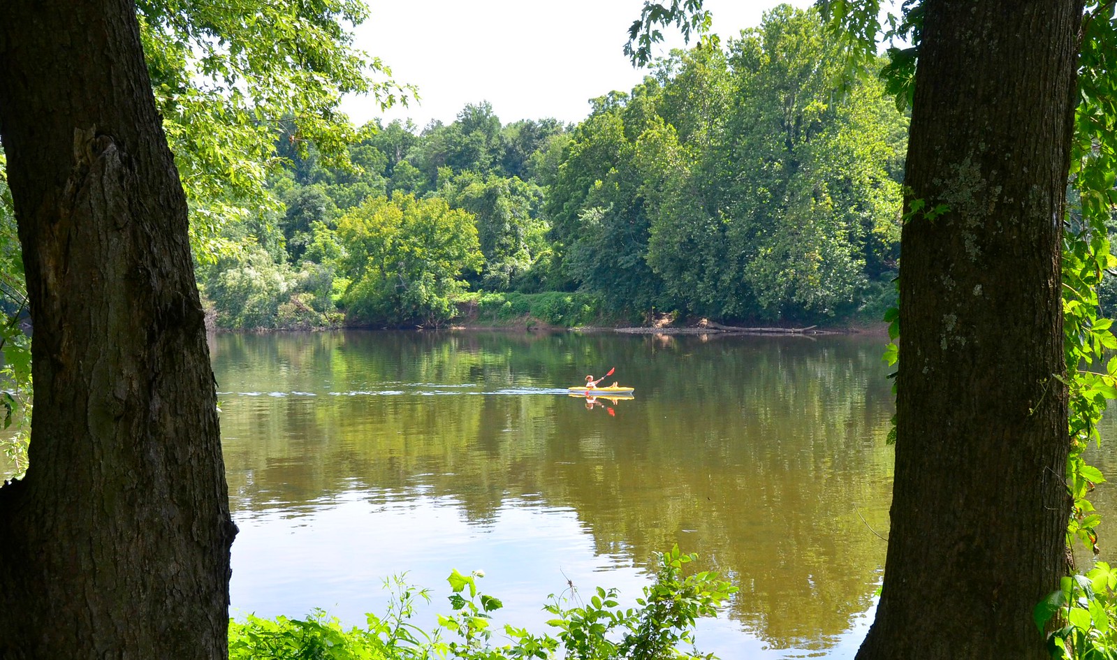
The creek serves as a gateway to the 3,000-mile Captain John Smith Chesapeake National Historical Trail and holds distinction as the most biodiverse creek on the Virginia Peninsula according to the Natural Resources Inventory. Paddlers encounter tidal marshes, cypress swamps in the upper reaches, and serpentine channels with small coves ideal for exploration. The waterway supports bald eagles, great blue herons, river otters, beavers, and numerous bird species including the Northern Cardinal. Vegetation includes bald cypress trees with distinctive "knees" rising above the water, trumpet vines, and wax myrtle along the banks.
Primary access points include Powhatan Creek Park near the Route 31 bridge, featuring a non-motorized boat launch with gravel parking for 20 vehicles and five observation/fishing piers, and James City County Marina located behind Jamestown Island. Both facilities operate within James City County near Williamsburg. The marina offers year-round kayak, canoe, and paddleboard rentals along with fuel and boat slips for powered craft.
Paddling opportunities range from 3-mile flatwater trips between Powhatan Creek Park and James City County Marina to an ambitious 8-mile loop circumnavigating Jamestown Island using the James River and Back River. Upstream exploration from Powhatan Creek Park reveals increasingly wild swampy terrain toward Route 5. All sections remain suitable for beginners with basic paddling skills, though understanding tidal patterns proves essential for trip planning.
The Powhatan Confederacy of Indian tribes, including Chief Powhatan and his daughter Pocahontas, used this waterway for transportation and sustenance for centuries. In 1607, Captains Christopher Newport and John Smith explored these waters while establishing North America's first permanent English settlement at Jamestown. Colonial settlers continued relying on the creek for meeting basic human needs, creating a paddling experience steeped in four centuries of American history.
Fishing access remains available 24 hours daily at Powhatan Creek Park, and the creek connects directly to Jamestown Island's historic sites, Jamestown Settlement museum, and Colonial Parkway. The James River Association regularly conducts guided tours highlighting natural and cultural resources. As part of the Chesapeake Gateways Network, the creek offers paddlers a unique combination of pristine natural habitat and profound historical significance within easy reach of the Williamsburg area.
Curated routes
Hand-picked by the PaddleWays team, with put-ins, take-outs, paddle times and the hazards along the way.
RouteFlatwater
RouteFlatwater
Hazards
No hazards are marked on Powhatan Creek yet. That is not the same as none being there: if you find one, report it for the next paddler.
From the community
Real trips from PaddleWays paddlers: which route they ran, how the flows were, and what to watch for.
Loading trip reports
Erin M.
SUP •
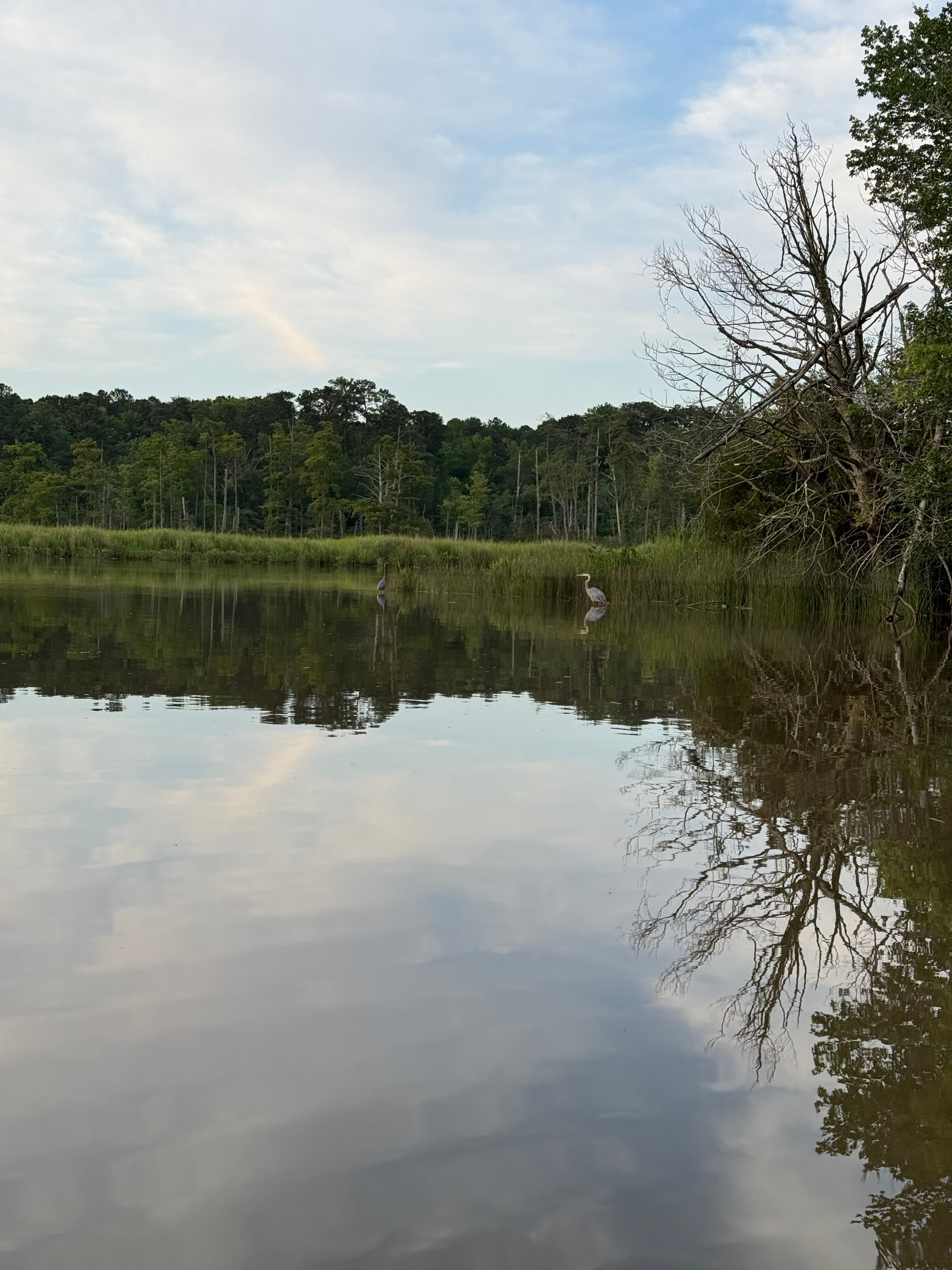
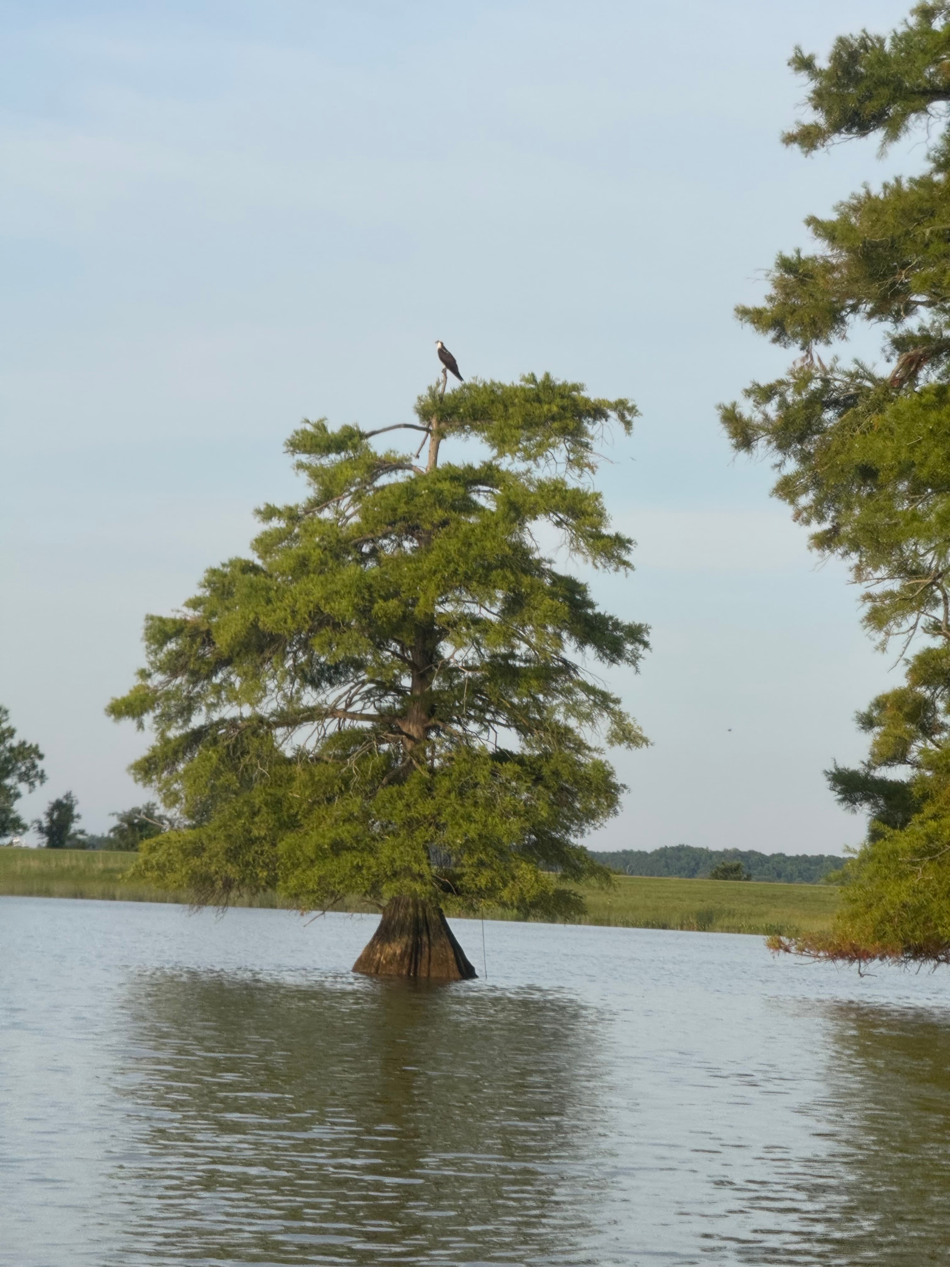
Took about 1.5 hours at a slow wandering pace with frequent stops for pictures. Lots of birds and fish!
Bobby L.
Nice fishing trip


Michael K.
Michael K.
James City Marina• 677 cfs
Powhatan creek park to Billsburg brewery
See exactly where the public can get on and off the river. Launch points and boat ramps are paired with PaddleWays' public land data so you know where you can legally land.
Public shoreline
1%of the river's shoreline is public
Most of the riverbank is private. Launch, land and camp only at public access points.
Flows, weather and a route-by-route verdict, so you know which stretch of the Powhatan Creek is worth paddling today.
No forecast data available.
Live flows, marked hazards and fresh trip reports from paddlers who were just on the water, all in one place.





Every user gets free access to launch points, boat ramps, and public property parcels.
Loading popular cities...
PaddleWays gives you everything you need to plan smarter, paddle better, and own every trip from first launch to takeout.





