Curated by PaddleWays
RouteClass I–II
- Distance
- 12.2 mi
- Paddle time
- ~4 hrs
- Best for
- Kayak, raft
- Put-in → take-out
- Route 250 Access → Route 678 Access
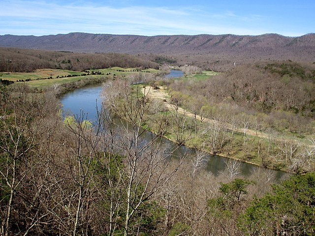
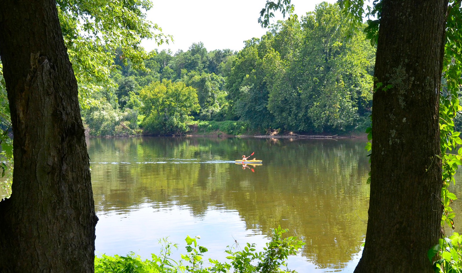
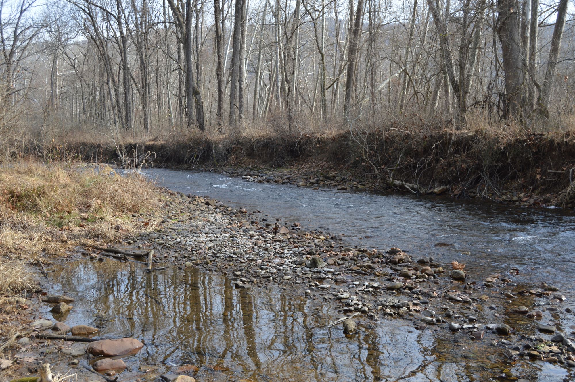
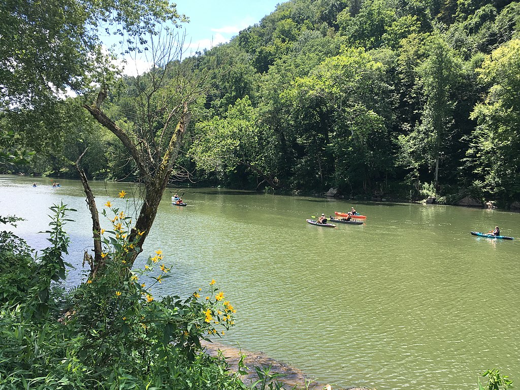
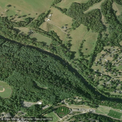
The Bullpasture River is a picturesque mountain stream located in west-central Virginia, flowing through Highland and Bath counties. Originating near the town of McDowell, the river runs southward for approximately 14 miles before joining the Cowpasture River. Together with the Cowpasture, it forms part of the upper James River watershed.
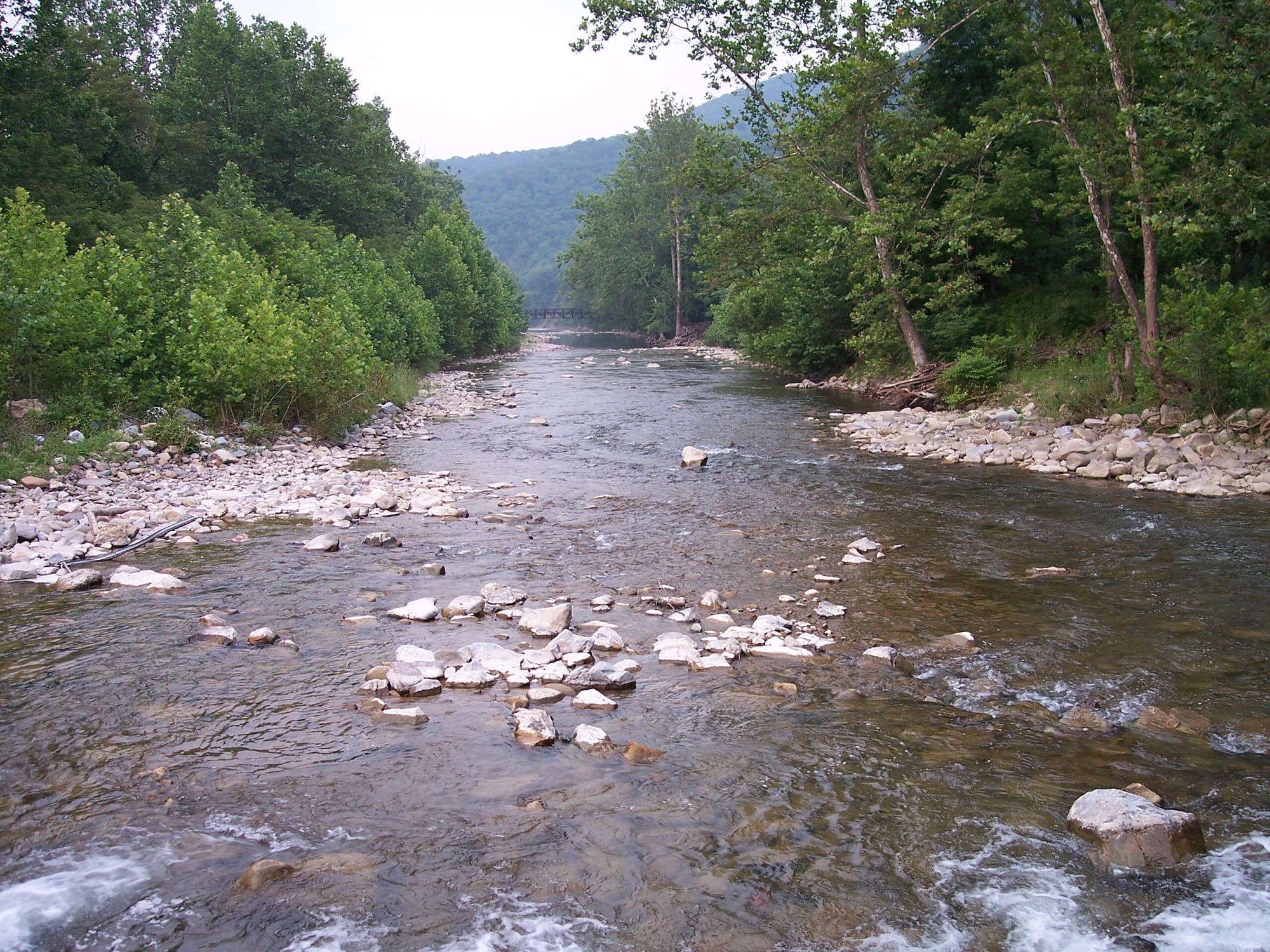
The Bullpasture offers two distinct paddling sections. The upper section, from Route 250 near McDowell to the public fishing access on Route 678, provides a more moderate whitewater experience suitable for intermediate paddlers. The lower 4-mile stretch through Bullpasture Gorge, from Route 678 to the confluence with the Cowpasture River, is the premier whitewater run. This section features continuous Class III+ rapids with technical boulder gardens and thrilling drops, making it a favorite among skilled kayakers and rafters.
Water levels are typically best for paddling in spring and after heavy rains. The river's flow can fluctuate rapidly, so checking current conditions is crucial. Late summer often sees lower water levels, which can make navigation challenging in some areas.
The river corridor supports a diverse ecosystem. The large boulder-strewn streambed provides habitat for both warmwater and coldwater fish species, including smallmouth bass and trout. The surrounding forest is home to various wildlife, including deer, turkey, and numerous bird species.
Key landmarks include the dramatic rock formations and cliff faces of Bullpasture Gorge, which offer stunning scenery for paddlers and hikers alike. The nearby town of Williamsville serves as a convenient base for river trips.
Access points are limited but well-defined. The main put-in for the gorge section is at the public fishing access on Route 678, while take-out is near the confluence with the Cowpasture River. Both McDowell and Williamsville provide nearby services for paddlers.
Historically, the Bullpasture River played a role in early settlement and industrial development of the region, with evidence of old mill sites along its banks. Today, it's primarily valued for its recreational opportunities and as an important water source for local communities.
Safety is paramount when paddling the Bullpasture, especially in the gorge section. The river's technical nature and potential for rapid water level changes demand respect and proper equipment. Paddlers should be prepared for self-rescue and have solid whitewater skills before attempting the more challenging sections.
While primarily known for day trips, adventurous paddlers can combine a run on the Bullpasture with additional paddling on the Cowpasture or James rivers for a multi-day expedition through some of Virginia's most scenic mountain terrain.
Curated routes
Hand-picked by the PaddleWays team, with put-ins, take-outs, paddle times and the hazards along the way.
RouteClass I–II
Hazards
No hazards are marked on Bullpasture River yet. That is not the same as none being there: if you find one, report it for the next paddler.
From the community
Nobody has shared a trip on Bullpasture River yet. Paddle it, then tell the next paddler how it went.
See exactly where the public can get on and off the river. Launch points and boat ramps are paired with PaddleWays' public land data so you know where you can legally land.
Public shoreline
13%of the river's shoreline is public
Most of the riverbank is private. Launch, land and camp only at public access points.
Flows, weather and a route-by-route verdict, so you know which stretch of the Bullpasture River is worth paddling today.
Live flows, marked hazards and fresh trip reports from paddlers who were just on the water, all in one place.





Every user gets free access to launch points, boat ramps, and public property parcels.
When using any type of watercraft to access a body of water, it is important to follow all federal, state, and local rules and regulations. These rules and regulations include boat permitting and licensing, invasive species inspections and stamps, life jacket and PFD rules, motor size and horsepower restrictions, noise limitations, restrictions on personal watercraft, and many more. Visit the web link below for the most current rules and regulations for this body of water.
When using any type of watercraft to access a body of water, it is important to follow all federal, state, and local rules and regulations. These rules and regulations include boat permitting and licensing, invasive species inspections and stamps, life jacket and PFD rules, motor size and horsepower restrictions, noise limitations, restrictions on personal watercraft, and many more. Visit the web link below for the most current rules and regulations for this body of water.
Loading popular cities...
PaddleWays gives you everything you need to plan smarter, paddle better, and own every trip from first launch to takeout.