Curated by PaddleWays
RouteClass I–II
- Distance
- 4.5 mi
- Paddle time
- ~1.5 hrs
- Best for
- Beginners, families
- Put-in → take-out
- Maury River Road Access → Goshen Trail Access
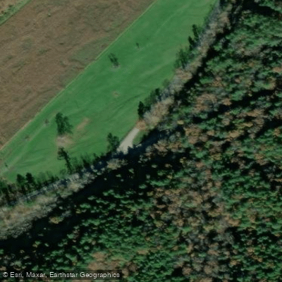
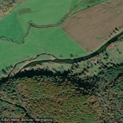
The Calfpasture River is a scenic waterway in western Virginia, originating on the slopes of Gordons Peak in Augusta County near Shenandoah Mountain in George Washington National Forest. It flows generally southeast through Augusta and Rockbridge Counties before joining with the Little Calfpasture River to form the Maury River near the town of Goshen. Major tributaries include Braley Branch, Hamilton Branch, and Mill Creek. The river offers a variety of paddling opportunities across its approximately 35-mile length, ranging from calm flatwater to challenging whitewater.
The upper section from Route 250 to Deerfield (Route 692) provides a 10.8-mile Class I-III run with an average gradient of 24 feet per mile. The middle sections offer easier Class I-II paddling, while the lower 4 miles to the Maury River confluence are mostly Class I-II. For expert paddlers, a short but intense 1.5-mile Class IV-V section runs from Game Road to the Maury River. Skill requirements vary by section, from beginner-friendly floats to advanced whitewater requiring solid technical skills and safety knowledge.
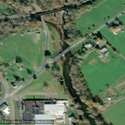
The river is typically best paddled in spring and early summer when water levels are highest, though some sections may be runnable year-round after rainfall. The Calfpasture flows through a mix of forests and pastoral landscapes typical of Virginia's Shenandoah Valley region. Wildlife sightings may include deer, turkey, and various bird species. Key landmarks include the small settlements of West Augusta and Little Baltimore, as well as several historic bridges and remnants of old mills.
Primary access points include put-ins at Route 250, Route 692 (Deerfield), Route 687, and Goshen, with take-outs available at various bridge crossings and the confluence with the Maury River. The nearby towns of Staunton, Lexington, and Buena Vista offer amenities for paddlers.
Historically, the river valley was an important transportation corridor for early settlers and played a role in the region's agricultural development. Today, it remains a valued recreational resource for locals and visitors alike.
Paddlers should be aware of potential hazards including strainers, fences, and fluctuating water levels. It's advisable to check current conditions and water levels before paddling, particularly for the more challenging sections. Multi-day trips are possible by combining the Calfpasture with the Maury River, offering extended paddling adventures through the heart of Virginia's scenic mountain country.
Curated routes
Hand-picked by the PaddleWays team, with put-ins, take-outs, paddle times and the hazards along the way.
RouteClass I–II
Hazards
No hazards are marked on Calfpasture River yet. That is not the same as none being there: if you find one, report it for the next paddler.
From the community
Nobody has shared a trip on Calfpasture River yet. Paddle it, then tell the next paddler how it went.
See exactly where the public can get on and off the river. Launch points and boat ramps are paired with PaddleWays' public land data so you know where you can legally land.
Public shoreline
18%of the river's shoreline is public
Most of the riverbank is private. Launch, land and camp only at public access points.
Flows, weather and a route-by-route verdict, so you know which stretch of the Calfpasture River is worth paddling today.
Live flows, marked hazards and fresh trip reports from paddlers who were just on the water, all in one place.





Every user gets free access to launch points, boat ramps, and public property parcels.
Loading popular cities...
PaddleWays gives you everything you need to plan smarter, paddle better, and own every trip from first launch to takeout.