Curated by PaddleWays
RouteClass I–III
- Distance
- 47 mi
- Paddle time
- Multi-day
- Best for
- Intermediate paddlers
- Put-in → take-out
- Shaw Fork Access → Walton Tract Boat Ramp
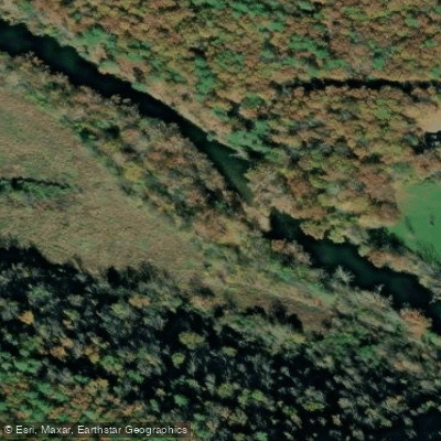
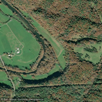
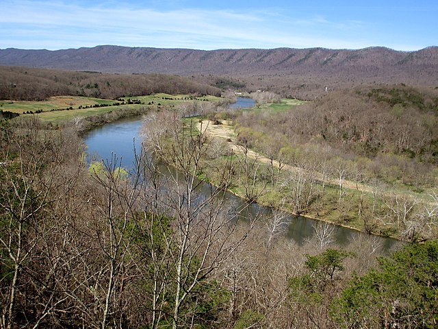
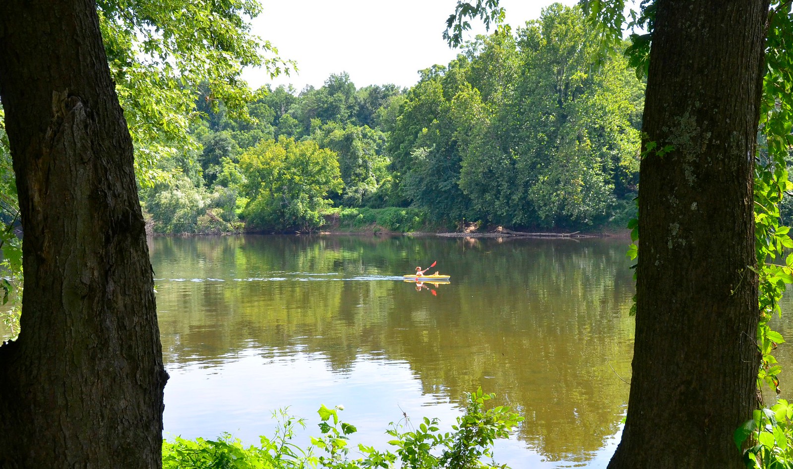
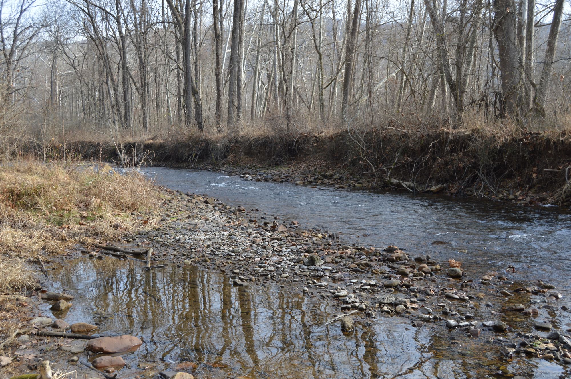
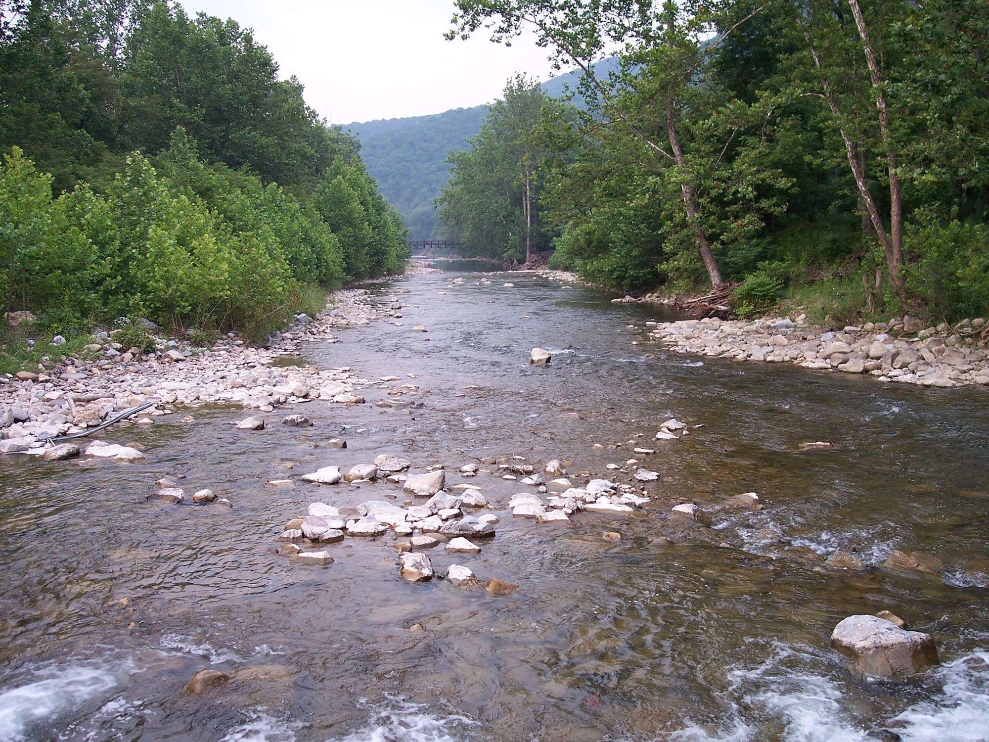
The Cowpasture River, a scenic waterway nestled in the heart of Virginia's Alleghany Highlands, offers paddlers a diverse range of experiences from tranquil floats to exhilarating whitewater runs. This picturesque river winds through the beautiful landscape of western Virginia, eventually joining the Jackson River to form the headwaters of the historic James River.
Paddling opportunities on the Cowpasture River cater to a wide range of skill levels. For beginners and those seeking a leisurely experience, the Walton Tract Float provides a serene 2-mile stretch perfect for observing wildlife and enjoying the surrounding fields and woodlands.
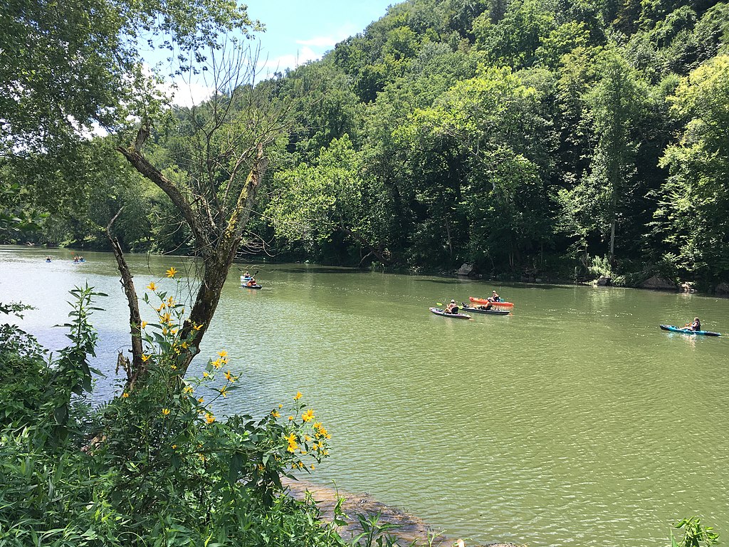
Intermediate paddlers will find the 13.5-mile Griffith to James River section an ideal blend of easy rapids and calm water, offering a pleasant day trip through Botetourt County.
For more experienced paddlers craving a challenge, the Bullpasture Gorge section delivers. This classic 3-4 mile run features continuous Class III+ rapids with some Class IV potential, depending on water levels. The gorge setting provides a stunning backdrop for this popular intermediate to advanced paddling destination.
The overall difficulty of the Cowpasture River ranges from flatwater to Class III+, with most sections falling in the Class I-III range. This variety makes the river suitable for paddlers of all skill levels, from families and beginners to seasoned whitewater enthusiasts.
While the Cowpasture can be paddled year-round, spring typically offers the most reliable water levels. Summer paddling is possible, but be prepared for lower water levels that may require more maneuvering around rocks and obstacles. Always check current river conditions before embarking on your trip.
The river's ecosystem supports a diverse array of flora and fauna. Paddlers may spot various fish species, including musky, smallmouth bass, and sunfish. The surrounding landscape, a mix of fields and woodlands, provides habitat for numerous bird species and other wildlife.
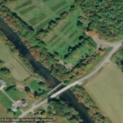
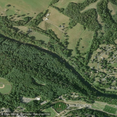
Notable landmarks along the Cowpasture include several swinging bridges, which add to the river's charm and historical character. The Walton Tract, a former dairy farm, now serves as a popular access point and offers excellent opportunities for fishing and hiking in addition to paddling.
Key access points include Griffith (Route 630 Ford), the Walton Tract, and various put-ins near Clifton Forge. The towns of Iron Gate and Clifton Forge serve as convenient bases for river trips, offering amenities and access to other nearby attractions.
Safety is paramount when paddling the Cowpasture River. Always wear a personal flotation device, be aware of changing water levels, and scout unfamiliar rapids before running them. Some sections may require portaging around hazards, especially during low water conditions.
For those seeking a multi-day adventure, combining the Cowpasture with the nearby Jackson River can create an extended trip, culminating in the formation of the James River. This allows paddlers to experience the full range of what this river system has to offer, from peaceful floats to more challenging whitewater sections.
The Cowpasture River, with its scenic beauty and varied paddling options, remains a cherished destination for outdoor enthusiasts. Whether you're casting a line for trout, navigating rapids, or simply floating along admiring the landscape, the Cowpasture offers a quintessential Virginia river experience.
Curated routes
Hand-picked by the PaddleWays team, with put-ins, take-outs, paddle times and the hazards along the way.
RouteClass I–III
Hazards
No hazards are marked on Cowpasture River yet. That is not the same as none being there: if you find one, report it for the next paddler.
From the community
Nobody has shared a trip on Cowpasture River yet. Paddle it, then tell the next paddler how it went.
See exactly where the public can get on and off the river. Launch points and boat ramps are paired with PaddleWays' public land data so you know where you can legally land.
Public shoreline
13%of the river's shoreline is public
Most of the riverbank is private. Launch, land and camp only at public access points.
Flows, weather and a route-by-route verdict, so you know which stretch of the Cowpasture River is worth paddling today.
Live flows, marked hazards and fresh trip reports from paddlers who were just on the water, all in one place.





Every user gets free access to launch points, boat ramps, and public property parcels.
Loading popular cities...
PaddleWays gives you everything you need to plan smarter, paddle better, and own every trip from first launch to takeout.