Shirley Hole
- Saltwater
- Sea area
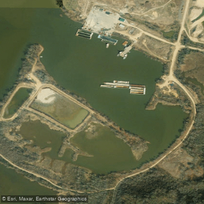
Shirley Hole
- Saltwater
- Sea area
- Sq. miles
- 0.1
- Boat Ramps
- 0
- Access Points
- 0
- Campsites
- 0
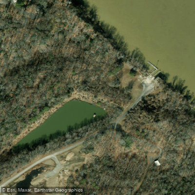
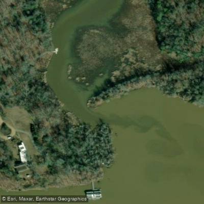
Shirley Hole is a tidal water body located at the foot of the historic Shirley Plantation in Virginia. This places it on the tidal James River, a major tributary of the Chesapeake Bay. As a coastal feature, paddling here is entirely governed by tidal forces. The area experiences significant tidal ranges common to the lower James River, meaning paddlers must carefully plan trips around the tide stage. Paddling against a strong tidal current, especially when combined with wind, can be strenuous and potentially hazardous. The primary access point is directly adjacent to Shirley Plantation. The water body's location on a wide section of the James River means it is exposed to wind and fetch from multiple directions, which can quickly build chop. This is a working river with commercial barge traffic and recreational boat traffic; paddlers must maintain situational awareness, particularly when crossing or navigating near the main channel. The aesthetic is one of historical significance blending with a broad, tidal river landscape. Wildlife typical of the Chesapeake Bay estuary, such as osprey, eagles, and various waterfowl, can be observed. Water temperatures follow seasonal patterns for the region, with summer averages in the 70s to 80s Fahrenheit and winter averages dropping into the 30s and 40s. There are no indicated restrictions specific to paddling, but standard safety regulations for the navigable waters of Virginia apply.
Water access, boat ramps & amenities
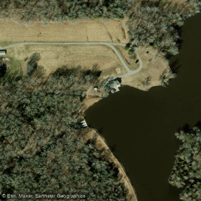
Learn how to get on Shirley Hole. Uncover great paddling access points, boat ramps, and all the facilities you need for an unforgettable day on the water. Some locations shown may border or include private property. Always check property boundaries and applicable regulations before visiting. PaddleWays's Public & Private Land layer can help you plan your access with confidence.
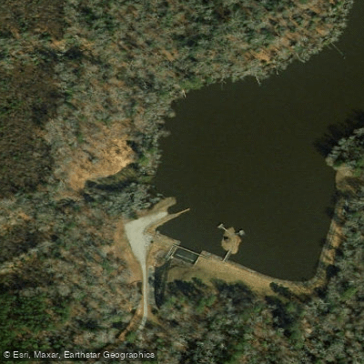
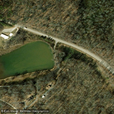
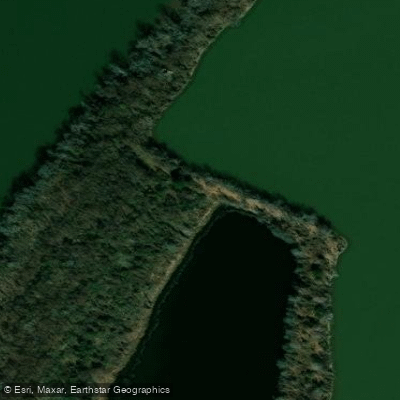
Paddle smarter with real-time insights
Whether you're en route and conditions shift or you're looking for the best spot based on current flows, we enable you to make informed decisions on the fly.








Find Places to Paddle

Over 400,000 Places to Paddle
Every user gets free access to launch points, boat ramps, and public property parcels.


Tides, wind & water conditions (10 day forecast)
On open water, wind and tide matter as much as the weather. See the best times to paddle Shirley Hole and check the marine forecast before you launch.
Loading tide predictions…
Paddling near Shirley Hole

James River
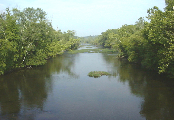
Appomattox River
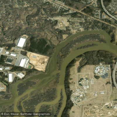
Port Walthall Channel
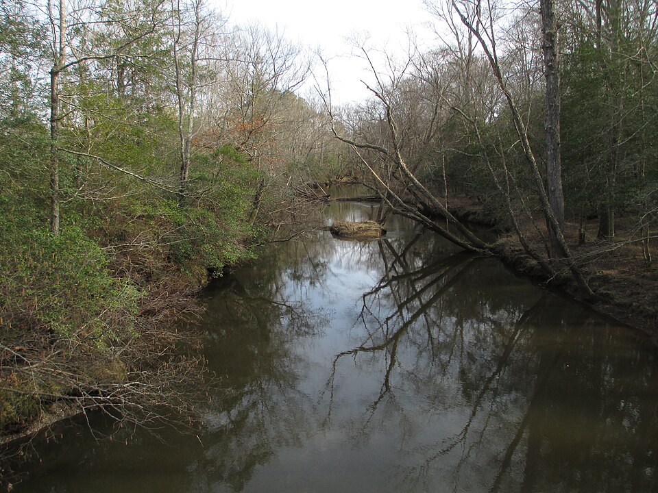
Mattaponi River

Rappahannock River
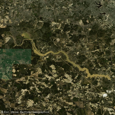
Lake Chesdin
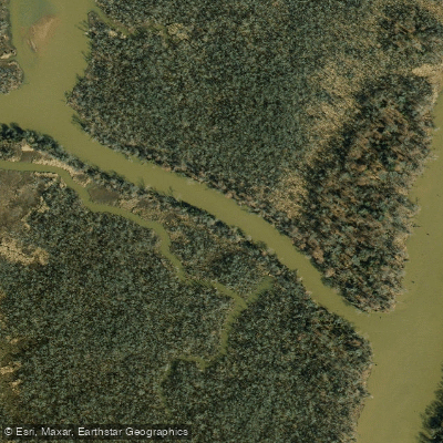
Pye Alley
Nottoway River
Explore Virginia waters
Top paddling waters
Popular Cities
Loading popular cities...
Explore near Shirley Hole

Smarter Paddling Starts in the App.
Paddleways gives you everything you need to plan smarter, paddle better, and own every trip from first launch to takeout.