Skidmore Fork Lake
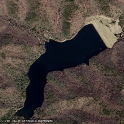
Skidmore Fork Lake
- Boat Ramps
- 0
- Access Points
- 0
- Campsites
- 1
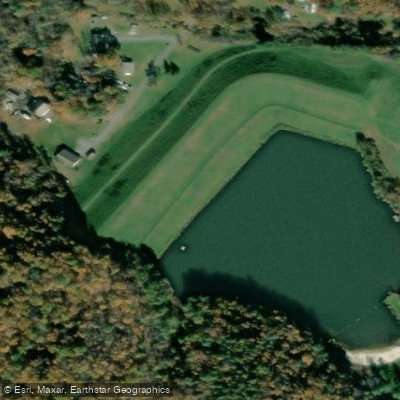
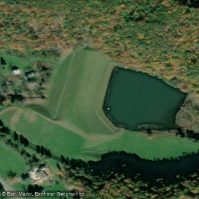
Skidmore Reservoir (also known as Switzer Reservoir) is a 118-acre municipal water supply reservoir located in the George Washington and Jefferson National Forests in Rockingham County, Virginia.
The lake sits at an elevation of 2,362 feet and serves as a water source for the City of Harrisonburg. Access is limited to Forest Development Road (FDR) 227 off Route 33 west of Harrisonburg, near the West Virginia state line.
The lake features a primitive boat launch and parking area, with paddle access confirmed by the Virginia Department of Wildlife Resources. Bank access is available along the west side and upper end of the lake via forest roads.
The reservoir contains deep, clear, cold water surrounded by forested mountains that appear to drop directly into the lake.
The scenic setting includes cypress-studded shorelines and offers opportunities to observe great blue herons, green herons, and occasionally bald eagles or ospreys.
The heavily wooded neighboring hillsides host pileated woodpeckers, American goldfinches, ruffed grouse, and wild turkeys. Swimming and gas motorboating are prohibited since this serves as a municipal water supply.
Only electric motors are permitted, making it well-suited for paddle craft. The lake supports excellent trout fishing, particularly brook trout, along with largemouth bass, crappie, bluegill, and channel catfish.
No developed facilities exist at the reservoir - no restrooms, picnic tables, grills, or food concessions. Primitive camping is available in designated areas further down Skidmore Fork Road past the second river crossing.
Visitors should secure food properly as black bears are known to frequent campsites in this area. The access road (Skidmore Fork Road/Switzer Lake Road) may be impassable during winter months, requiring caution for trip planning.
The remote location and restrictions on motorized boats create a quiet paddling environment focused on the natural mountain lake setting.
Water access, boat ramps & amenities
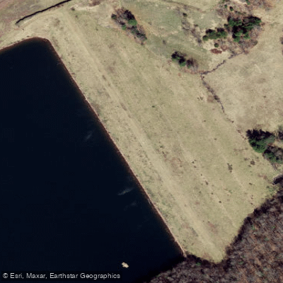
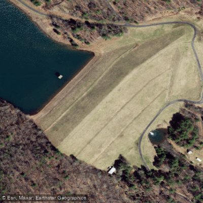
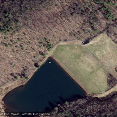
Learn how to get on Skidmore Fork Lake. Uncover great paddling access points, boat ramps, and all the facilities you need for an unforgettable day on the water. Some locations shown may border or include private property. Always check property boundaries and applicable regulations before visiting. PaddleWays's Public & Private Land layer can help you plan your access with confidence.
Paddle smarter with real-time insights
Whether you're en route and conditions shift or you're looking for the best spot based on current flows, we enable you to make informed decisions on the fly.








Find Places to Paddle

Over 400,000 Places to Paddle
Every user gets free access to launch points, boat ramps, and public property parcels.


Water and weather conditions (10 day forecast)
See the best times to paddle Skidmore Fork Lake and check the forecast before you go.
No forecast data available.
Paddling near Skidmore Fork Lake
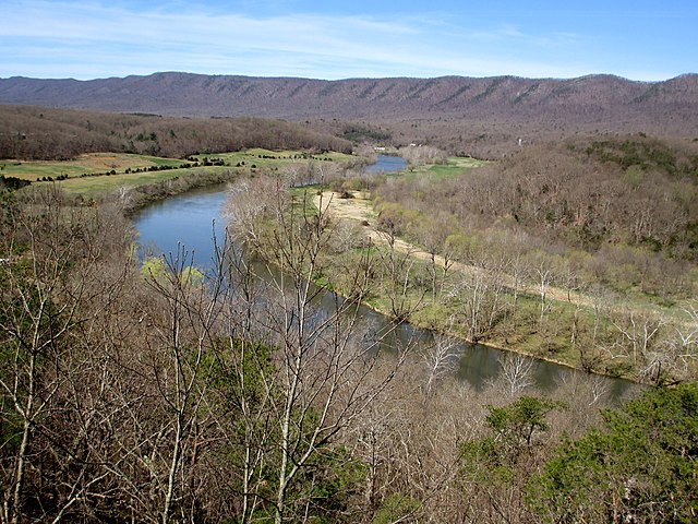
South Fork Shenandoah River
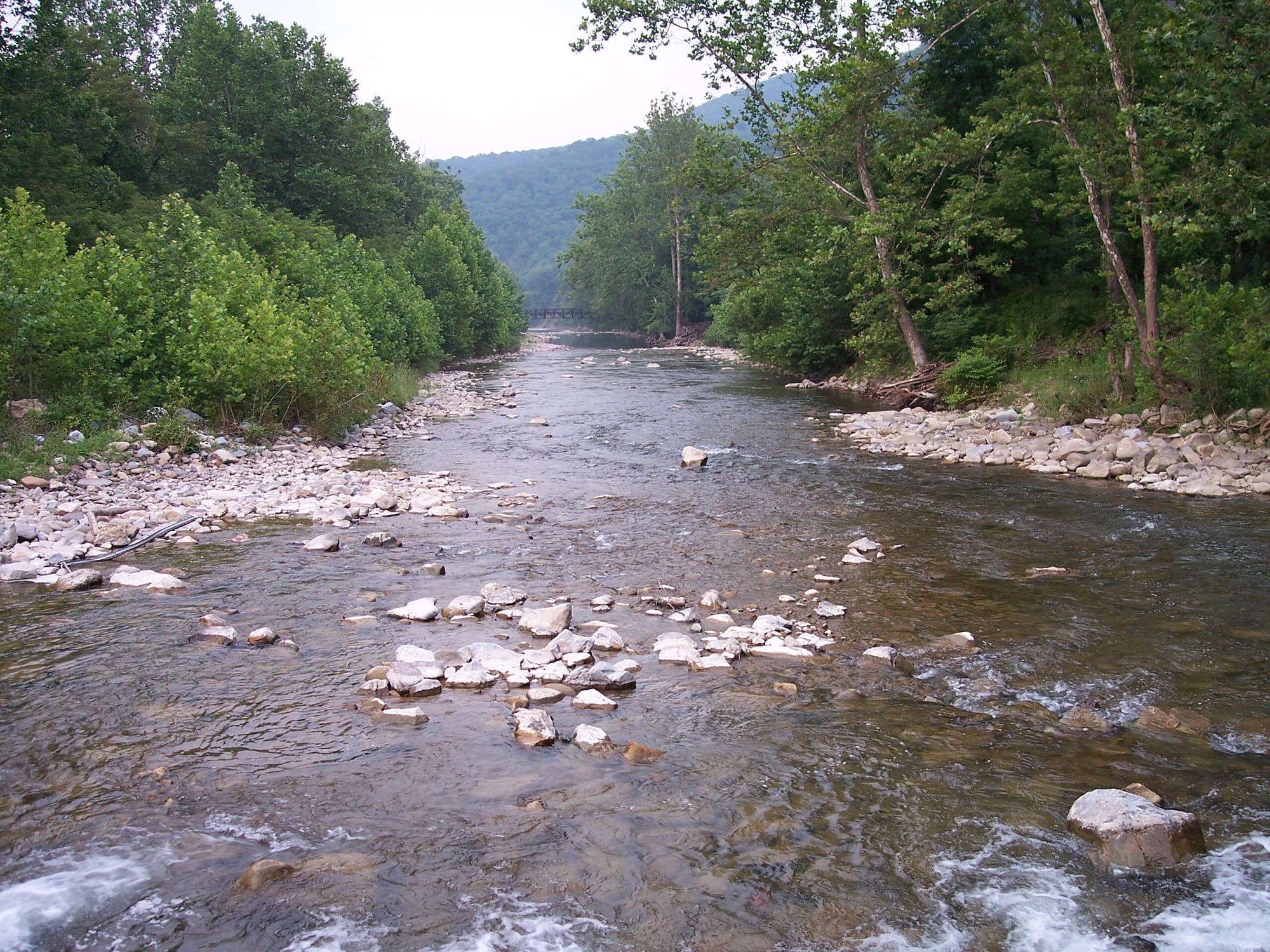
North Fork South Branch Potomac River

James River
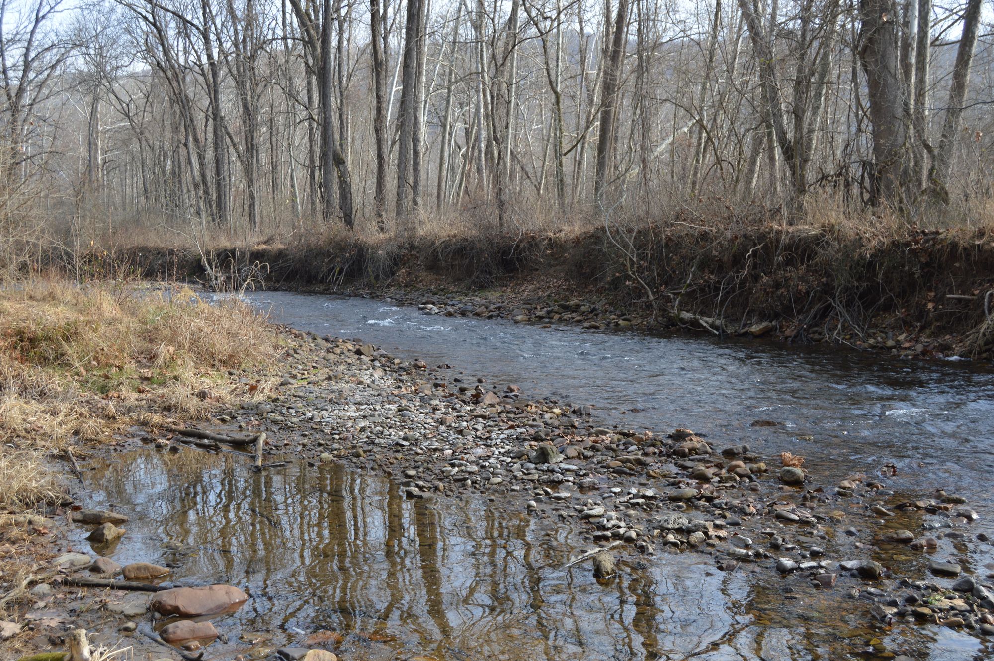
Jackson River
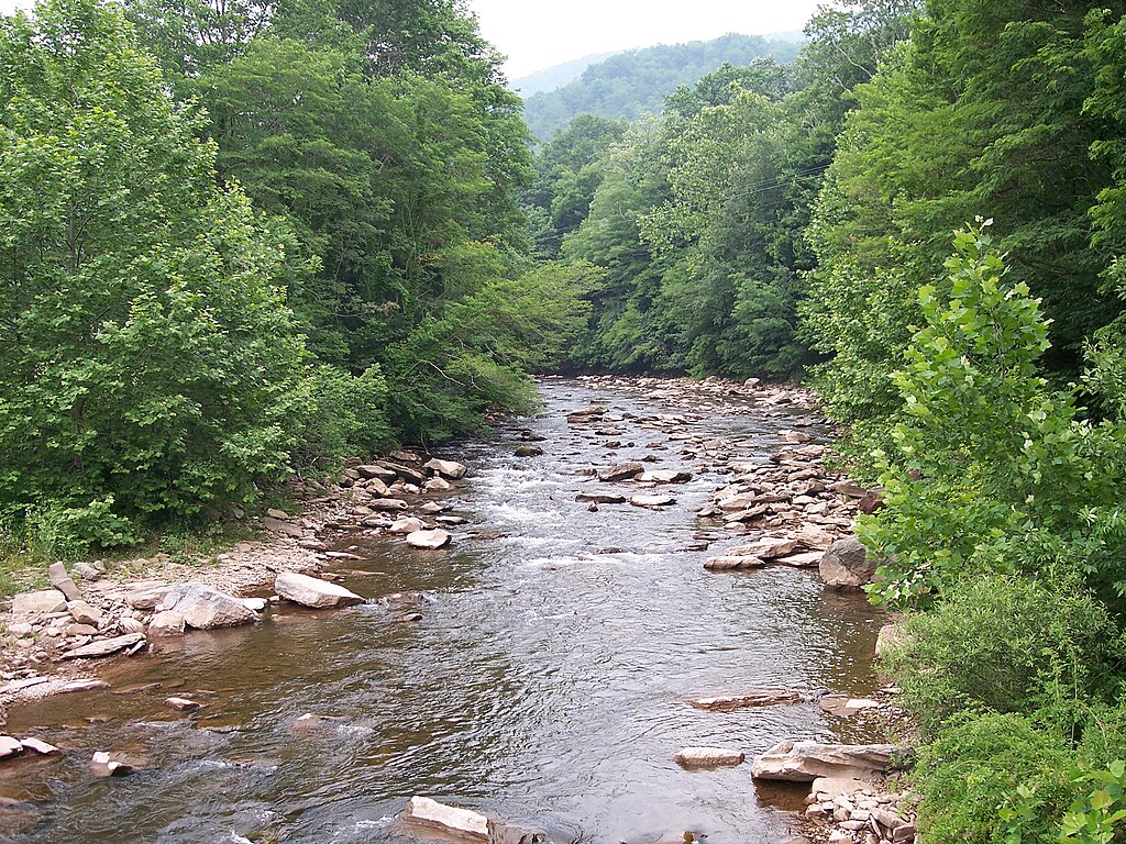
Dry Fork
North River
North Fork Shenandoah River
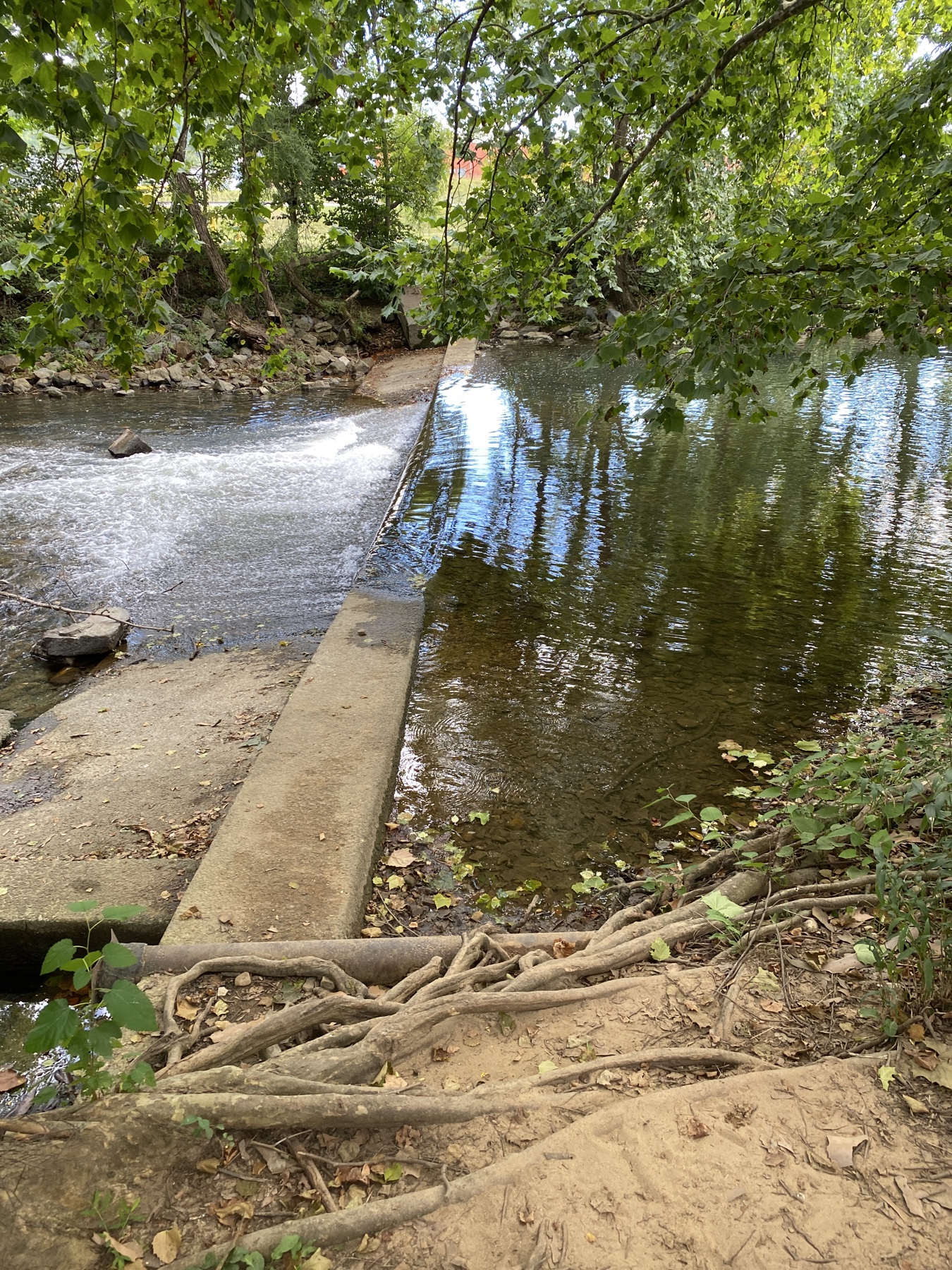
South River
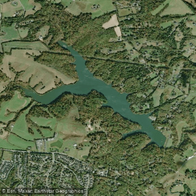
Beaver Creek Reservoir
Explore Virginia waters
Top paddling waters
Popular Cities
Loading popular cities...
Explore near Skidmore Fork Lake

Smarter Paddling Starts in the App.
Paddleways gives you everything you need to plan smarter, paddle better, and own every trip from first launch to takeout.